I think we blazed a new trail today, almost certainly a new way to get to Truck Summit.
The typical way to Truck Summit is from the north. Last September, Derek and I approached it from that direction and explored the ridge that runs south from the truck. While looking at that track, we noticed that it appeared the abandoned service road designated NF110 on the maps wound around the Mine Creek ravine/canyon and ended abruptly just below where we turned around that day.
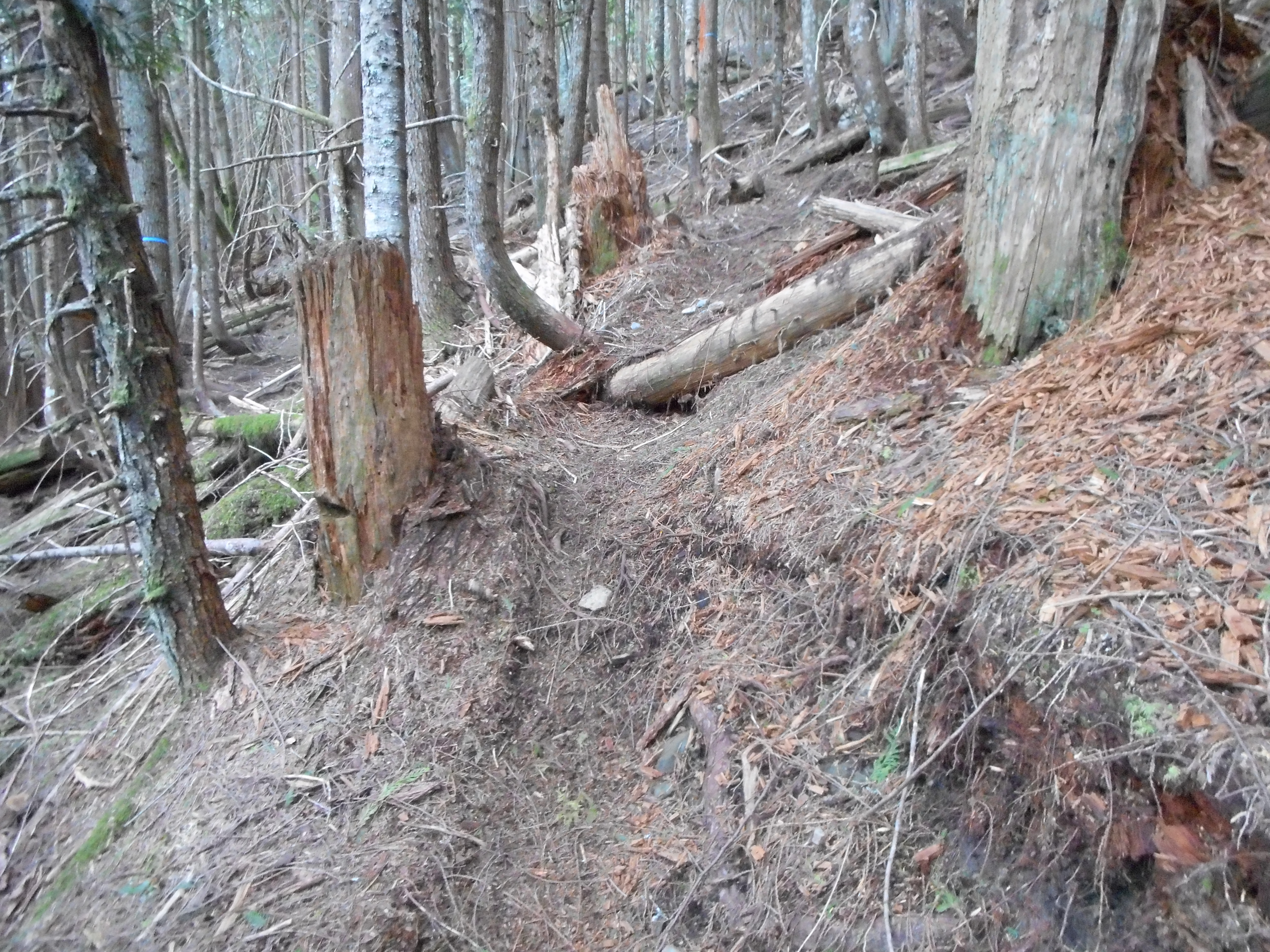
So today we parked at the Garcia/IHT intersection and started up NF9021. Not long after we started Derek noticed a little boot path heading up through the woods so we took it straight up, cutting off a bit of the service road. We discovered an extreme mountain bike trail – hard to believe people would barrel down the side of the mountain like that, but we saw the bike tracks. It is nothing I would try:
The trail goes OVER that log, and others even bigger.
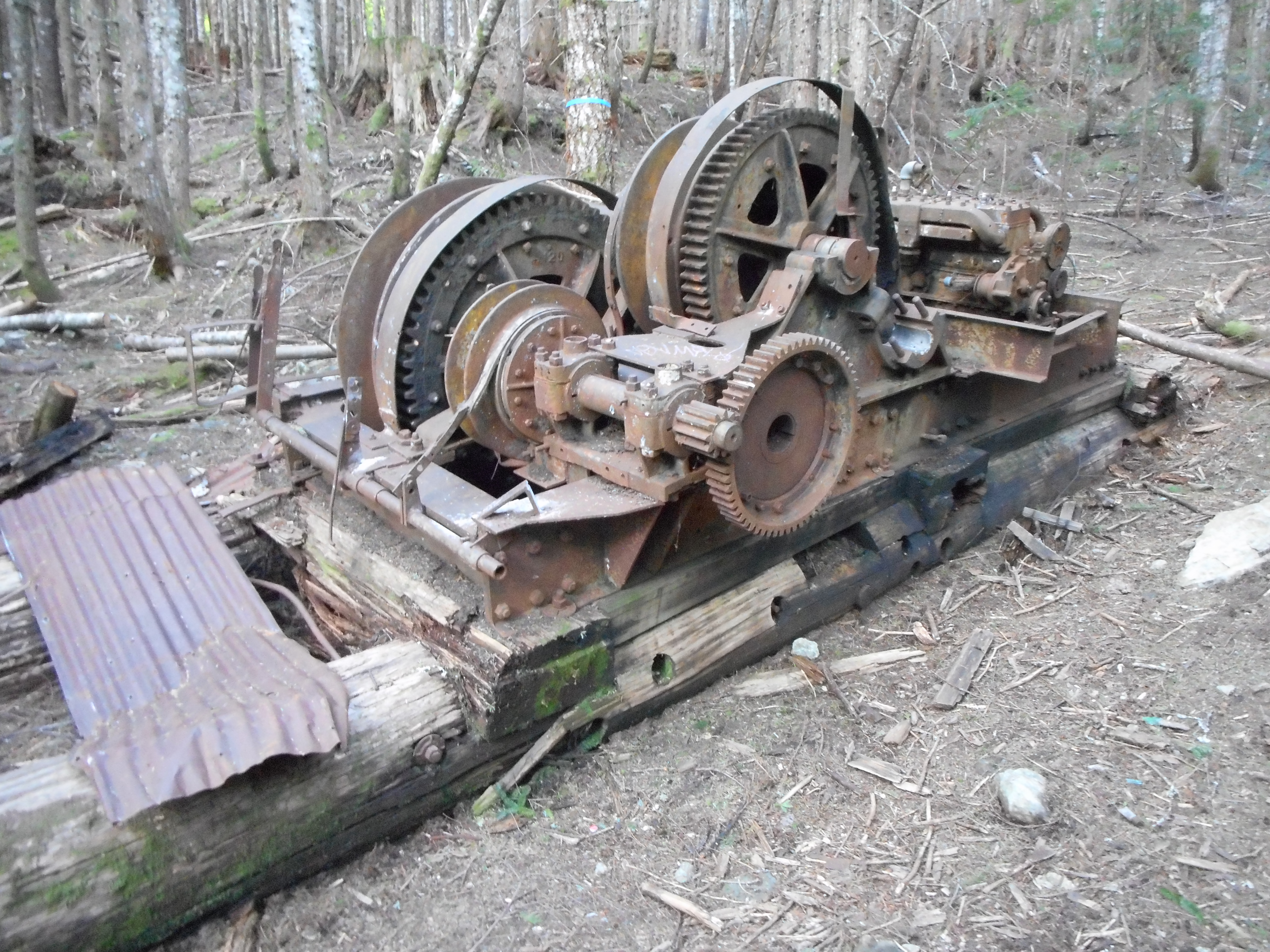
On the way up NF110 we came across an old piece of logging gear:
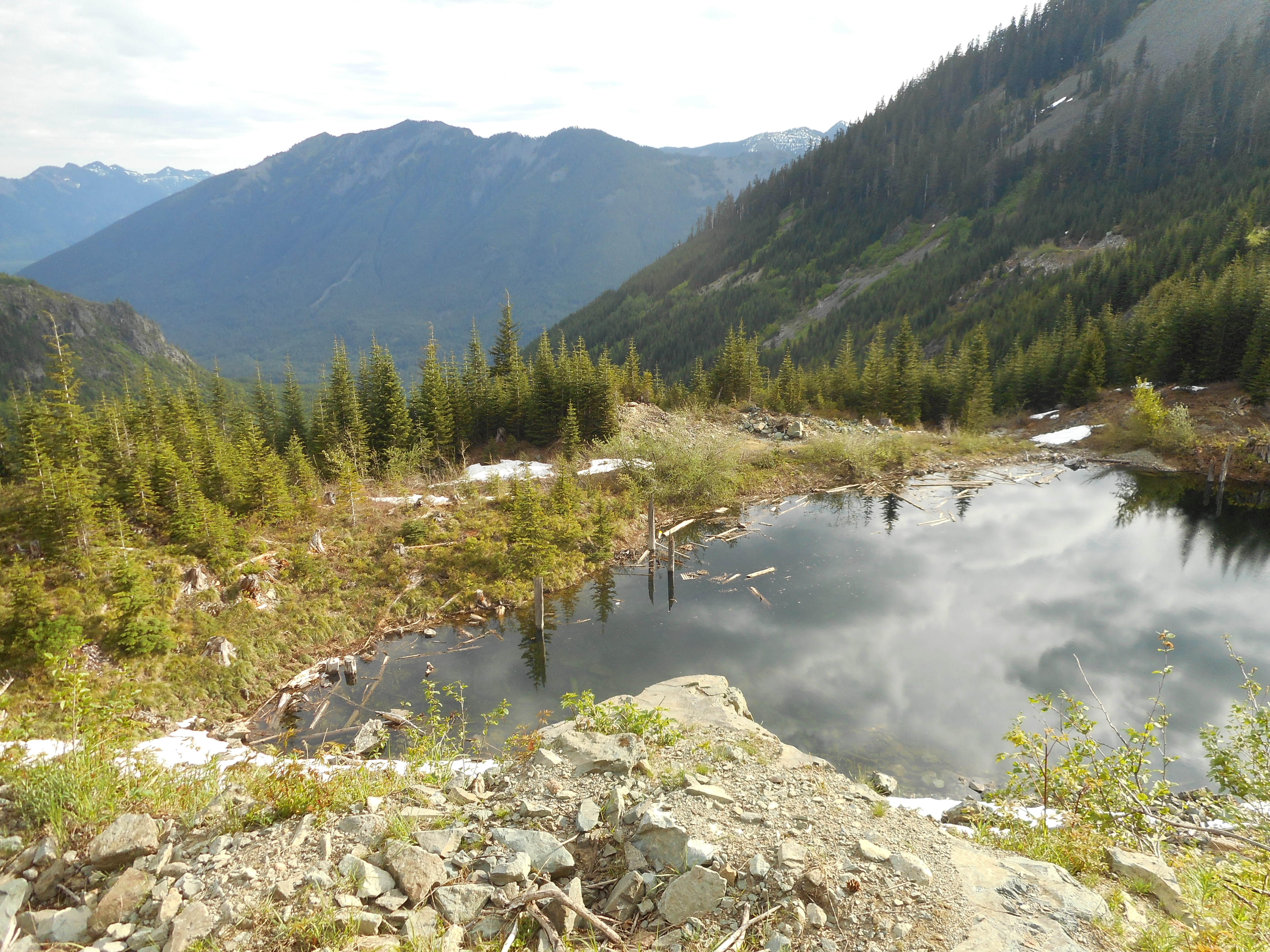
We kept trudging up the old service road, coming across several spots where gunnuts shoot at clay pigeons and various other targets, and we kept going up and around the ravine.
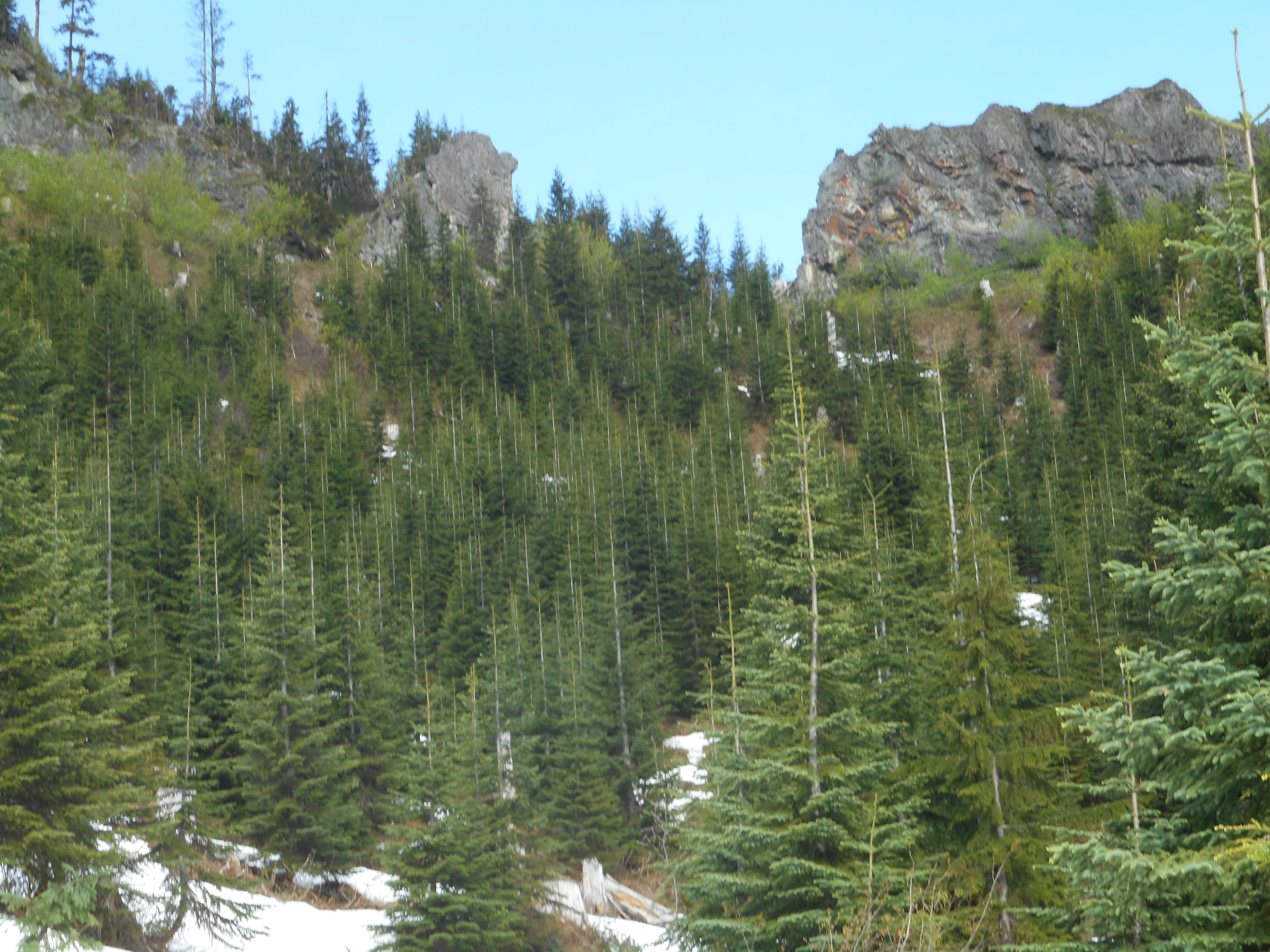
We looked across the ravine to try to find some way to get up to the ridge on the other side. It did not look promising:
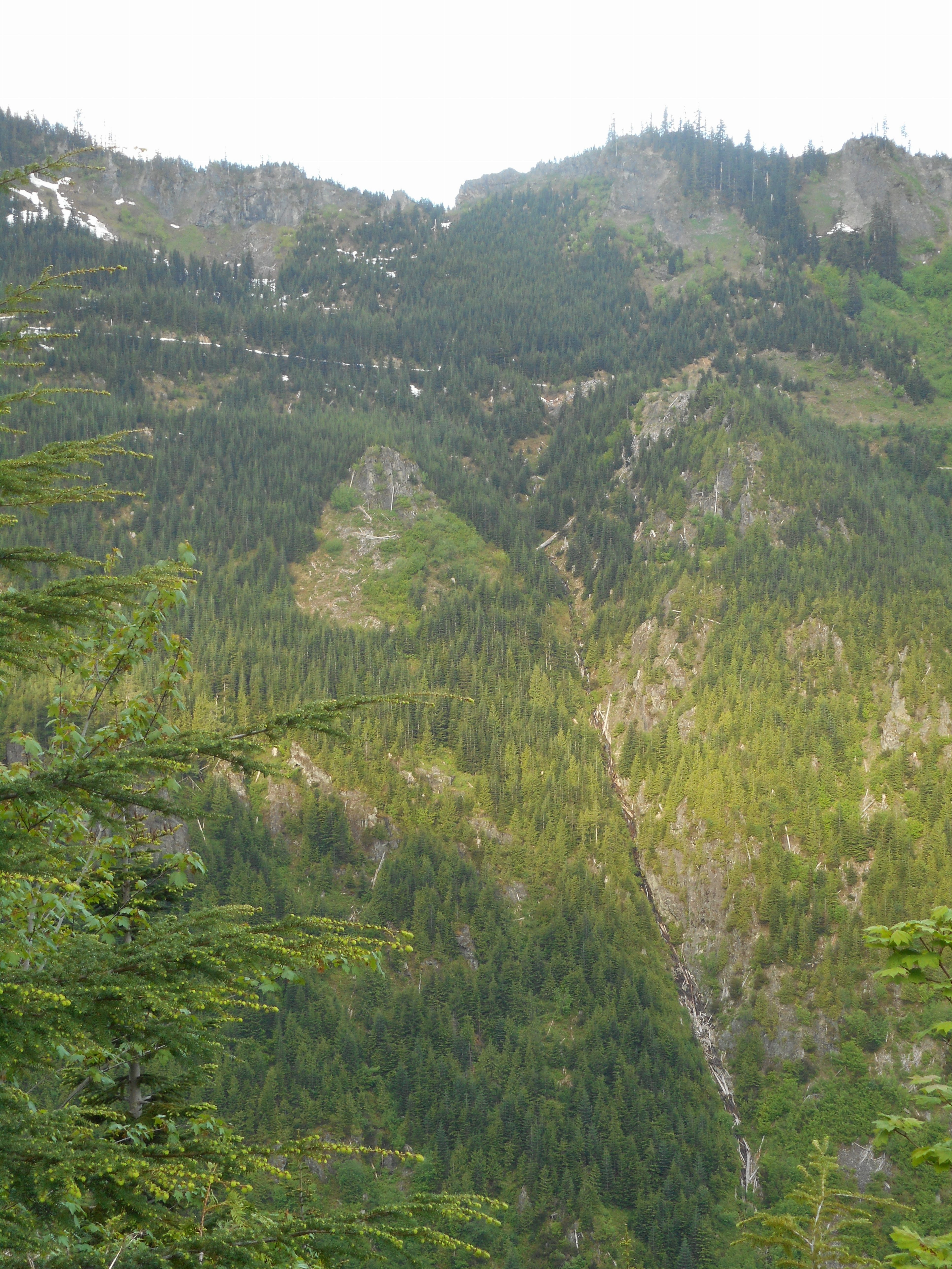
Although we did not know it at the time, our target spot to bushwhack up the side of the ridge was in the notch in the middle of the picture above.
As we got closer we took a compass bearing on the spot, and focused on a large dead tree for reckoning. Then we just went straight up the side of the ridge, doing our best to keep making progress towards our immediate goal:
The photo above shows our target at the point where we went up the ridge.
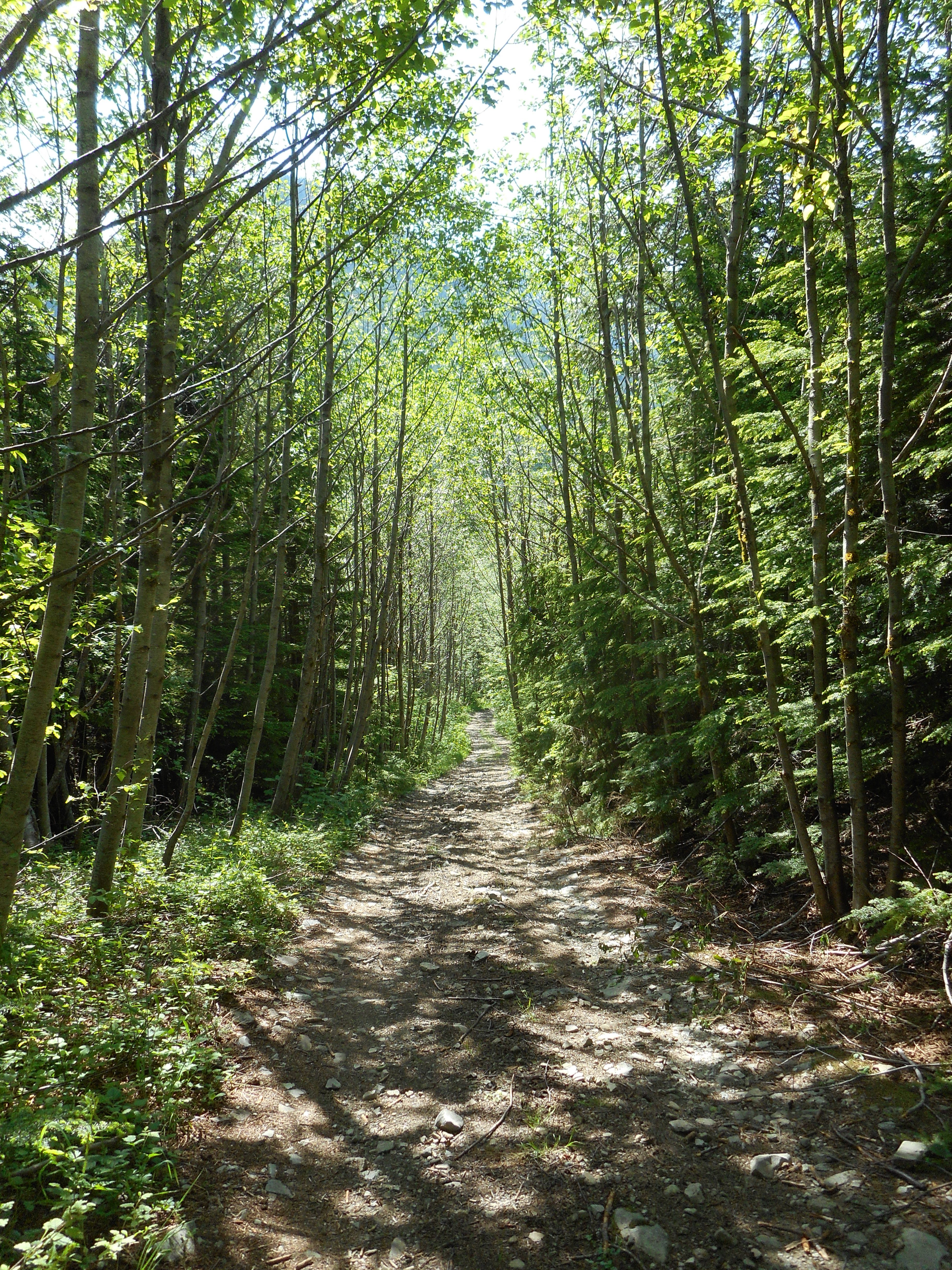
So, we made it to the Truck and went down the service road, which in today’s nice weather, was very nice:
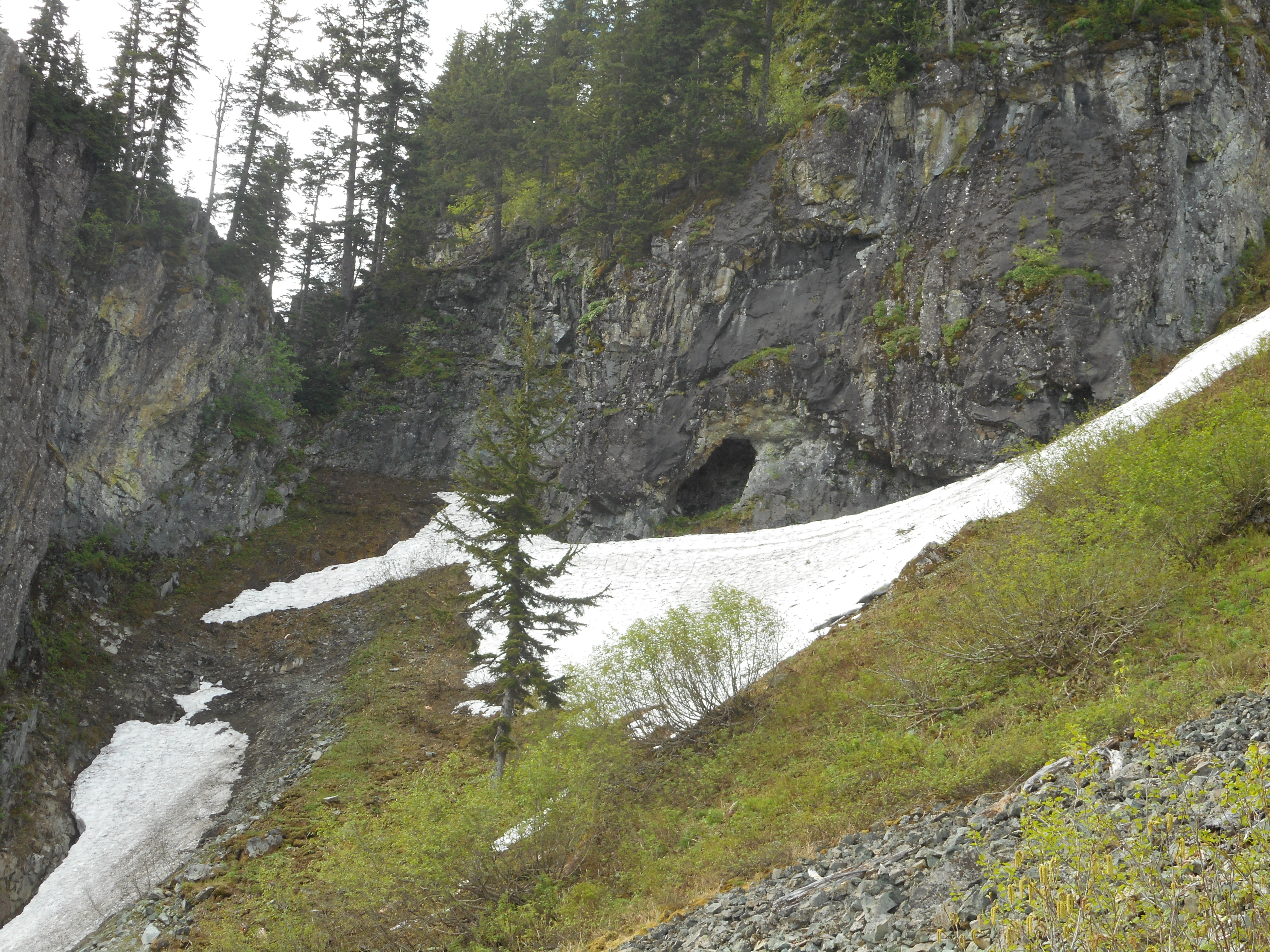
Up much higher Derek noticed an interesting looking cave, that might be worth exploring some day:
The Garmin Adventure server seems to be down so I cannot upload the track as usual. Will get it in when the server is working.
In the meantime, here is the Google/GPS Visualizer look at our route:
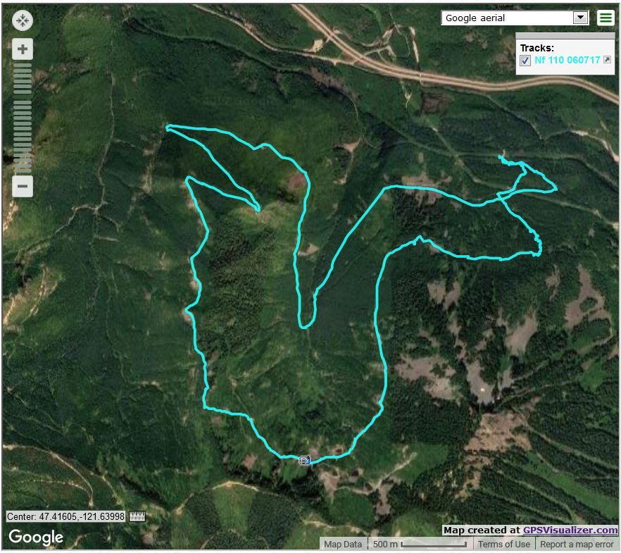
Our path was right-to-left (east to west, generally). Towards the beginning you can see how we cut off some of the service road by bushwhacking on the way up. We took the road on the way down because the old guy’s knees were talking.
About 9.2 miles, 6.5 hours, about 3K elevation gain. And who has ever done this route before?
Update 6/9 – Garmin server back online, here is the track:
https://adventures.garmin.com/en-US/by/djhiker/nf110-west-to-truck-summit#.WTtEBty1upp