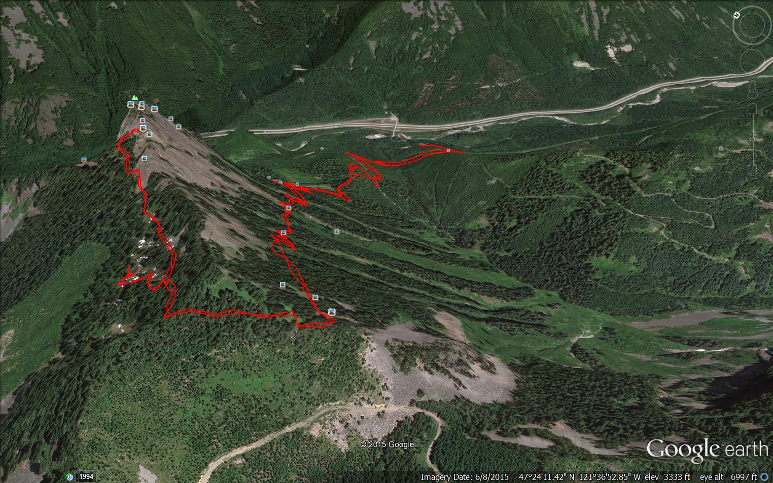
We made it up to the scramble in just about 3 hours but left it at that. Parking lot was 1550 ft, the base of the scramble was 5016 feet, so 3466 feet of elevation gain – 4.5m from car, but the first mile and a quarter at least has very little gain – some of it is on the John Wayne Trail – so most of the elevation gain is packed into about 3.3 miles or so. No matter.
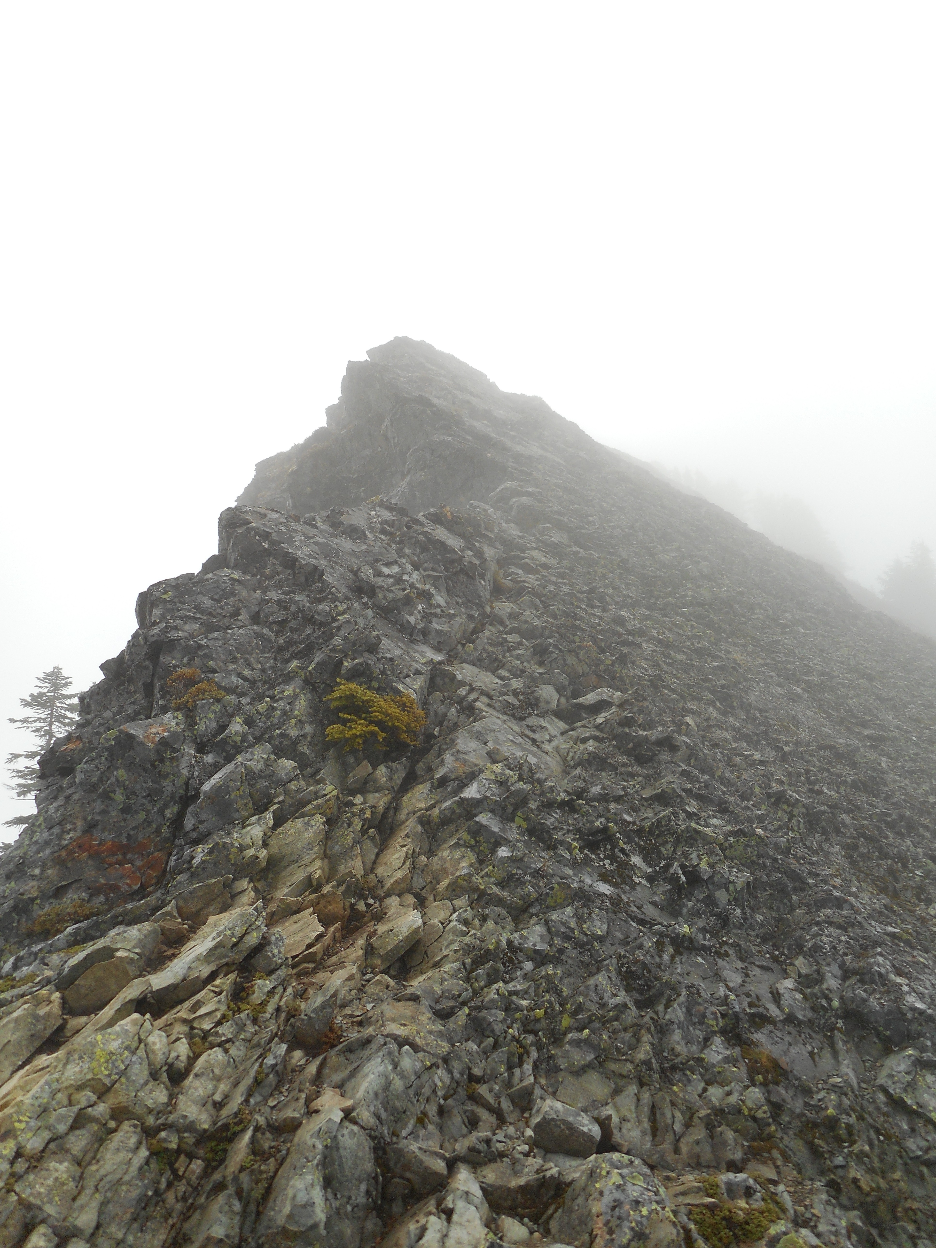
This is a wonderful hike. When last we were here we were hiking through deep snow. It was tough. Today, all the sections that gave me the willies (steep little paths over sharp drop offs) were nothing-burgers. Fun.
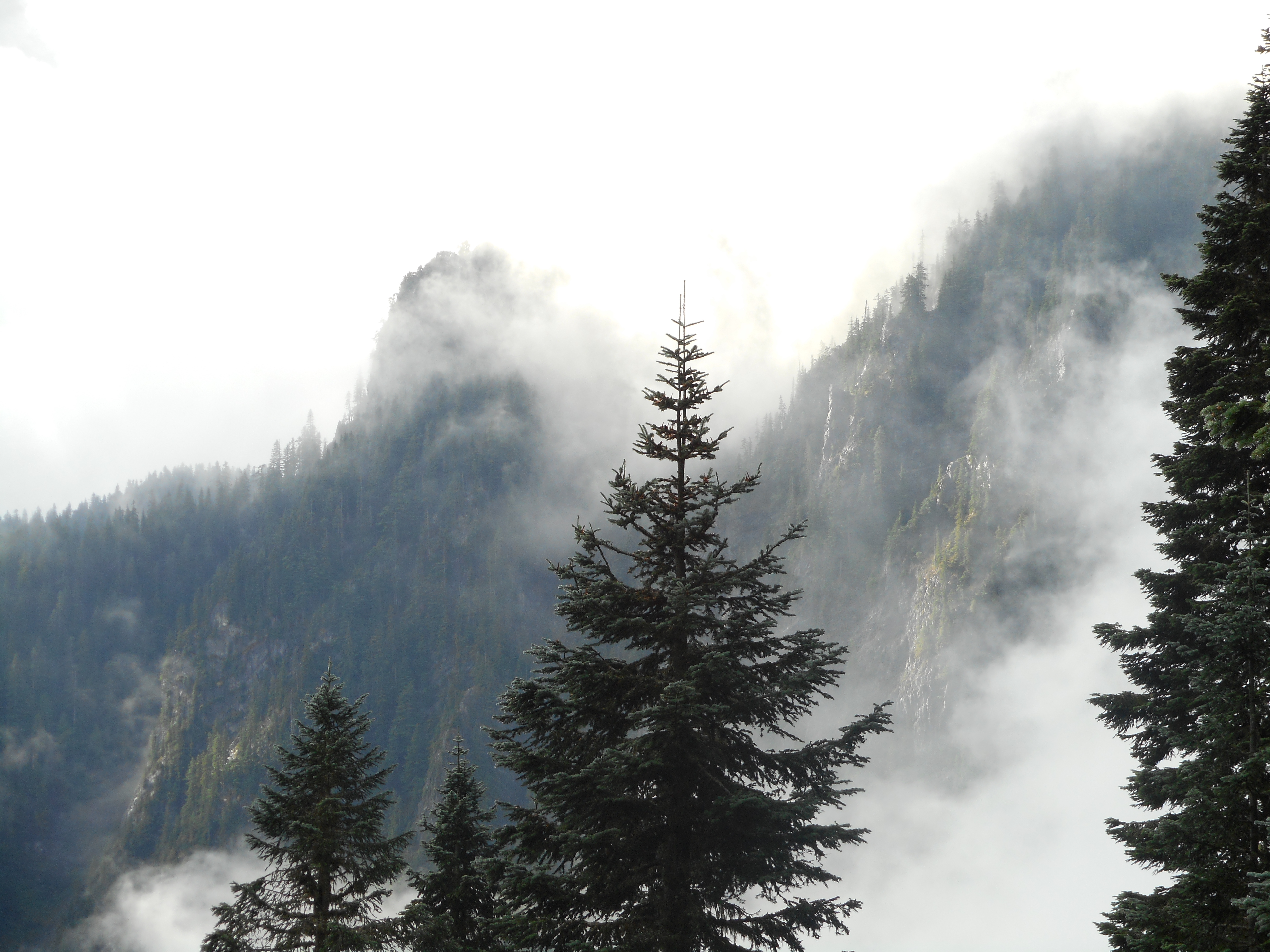
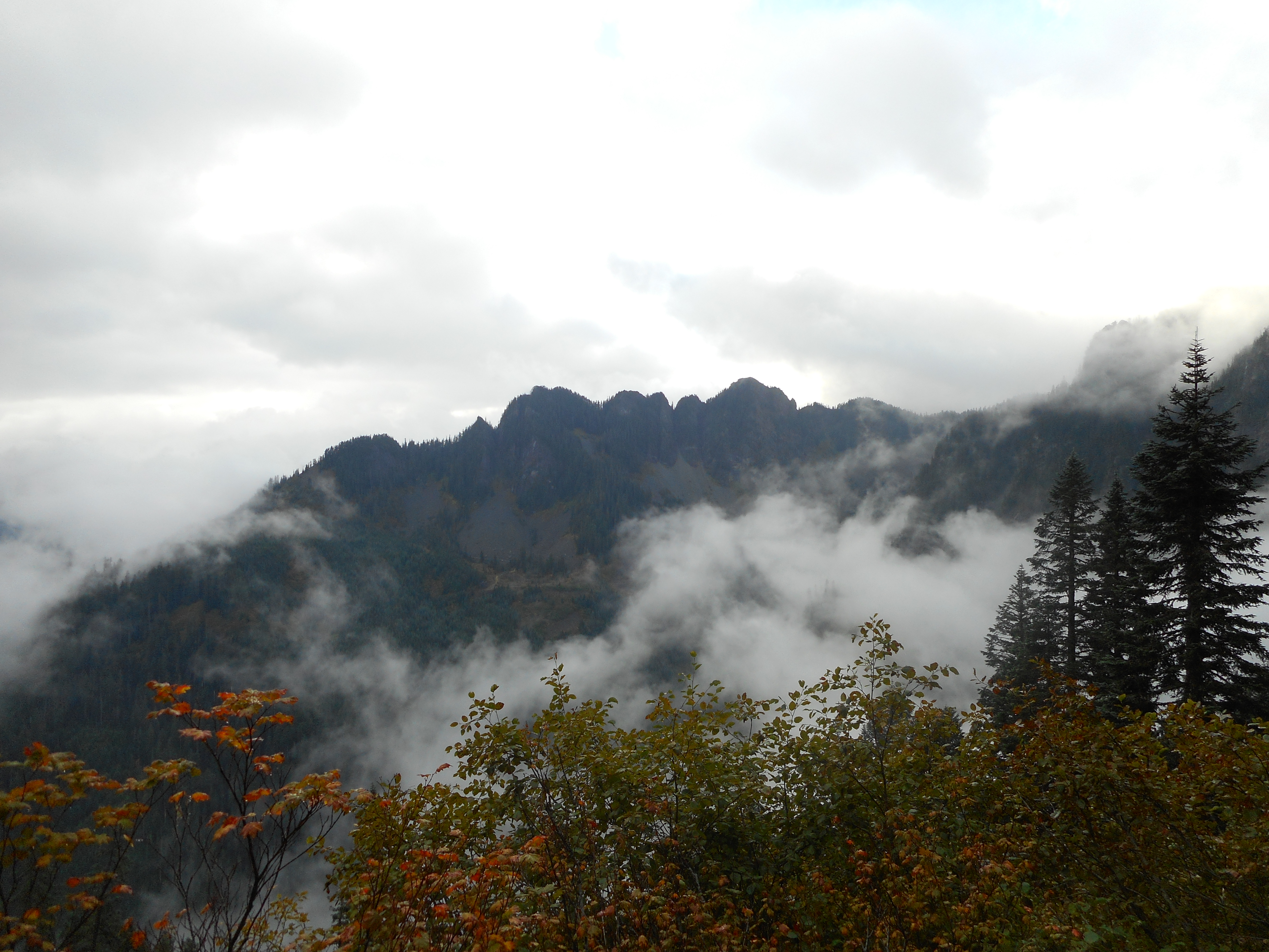
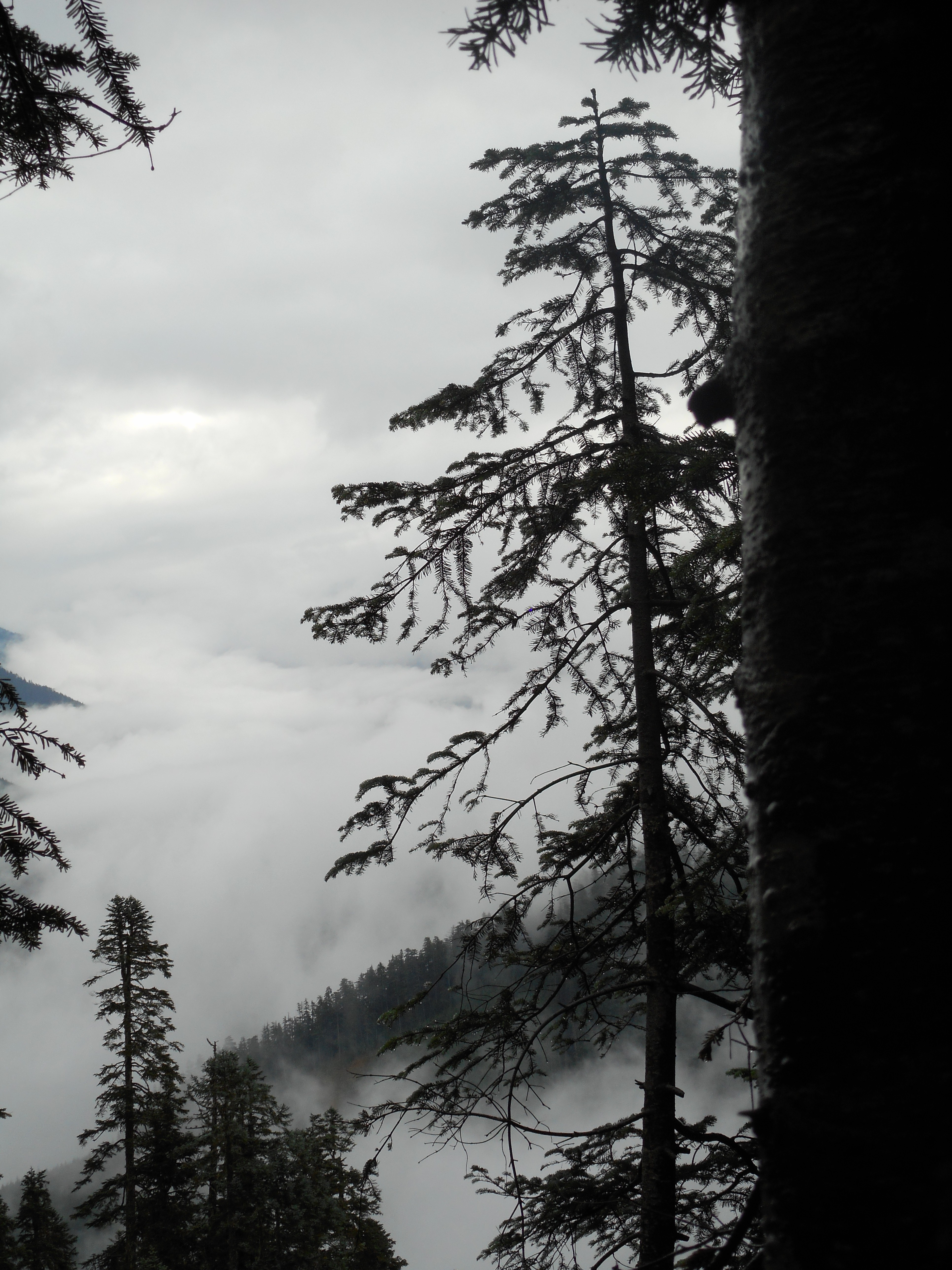
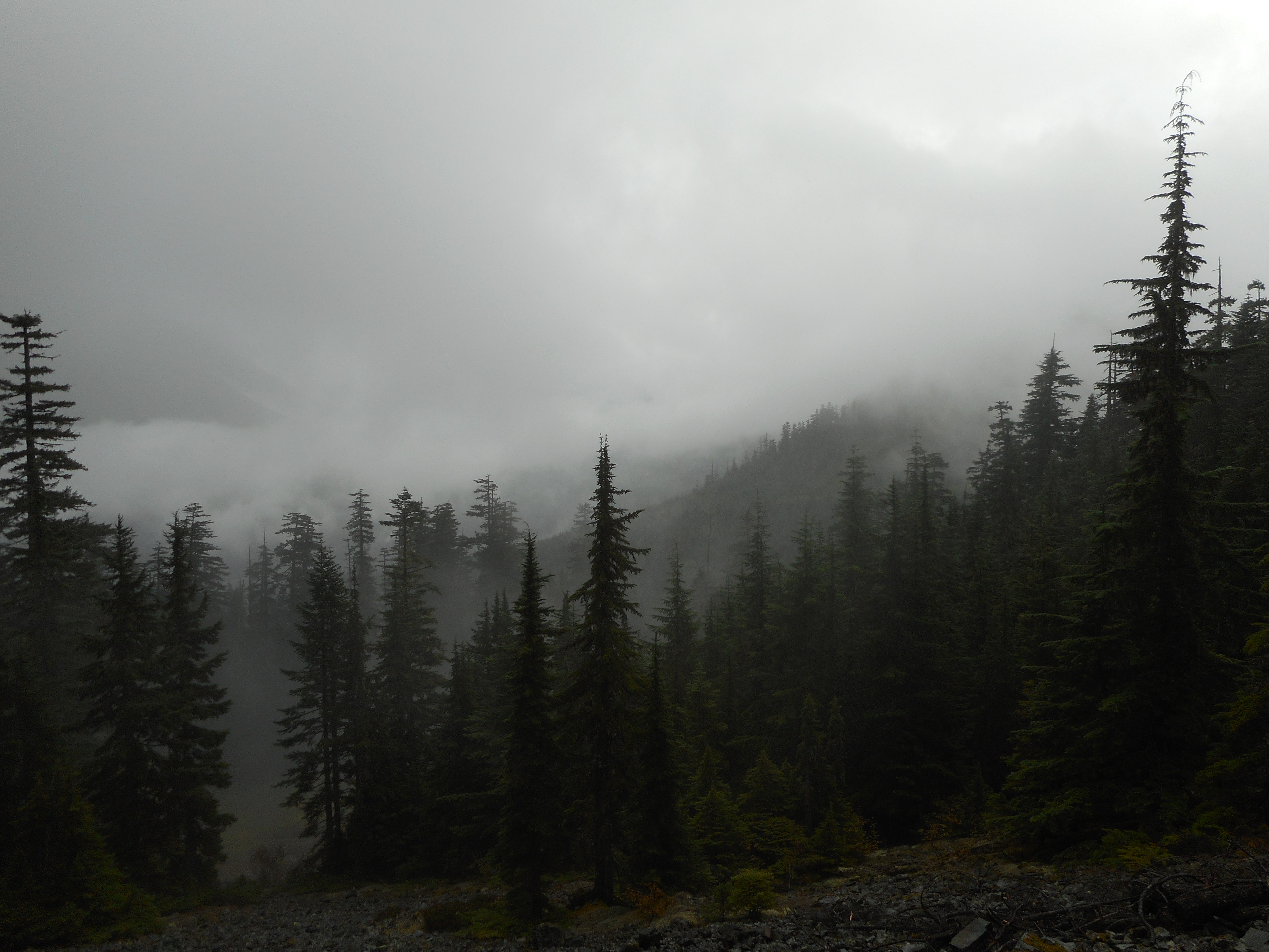
We got a little rain for part of the hike and the wet trees and the fact that we had hiked into the clouds made for some awesome scenes.
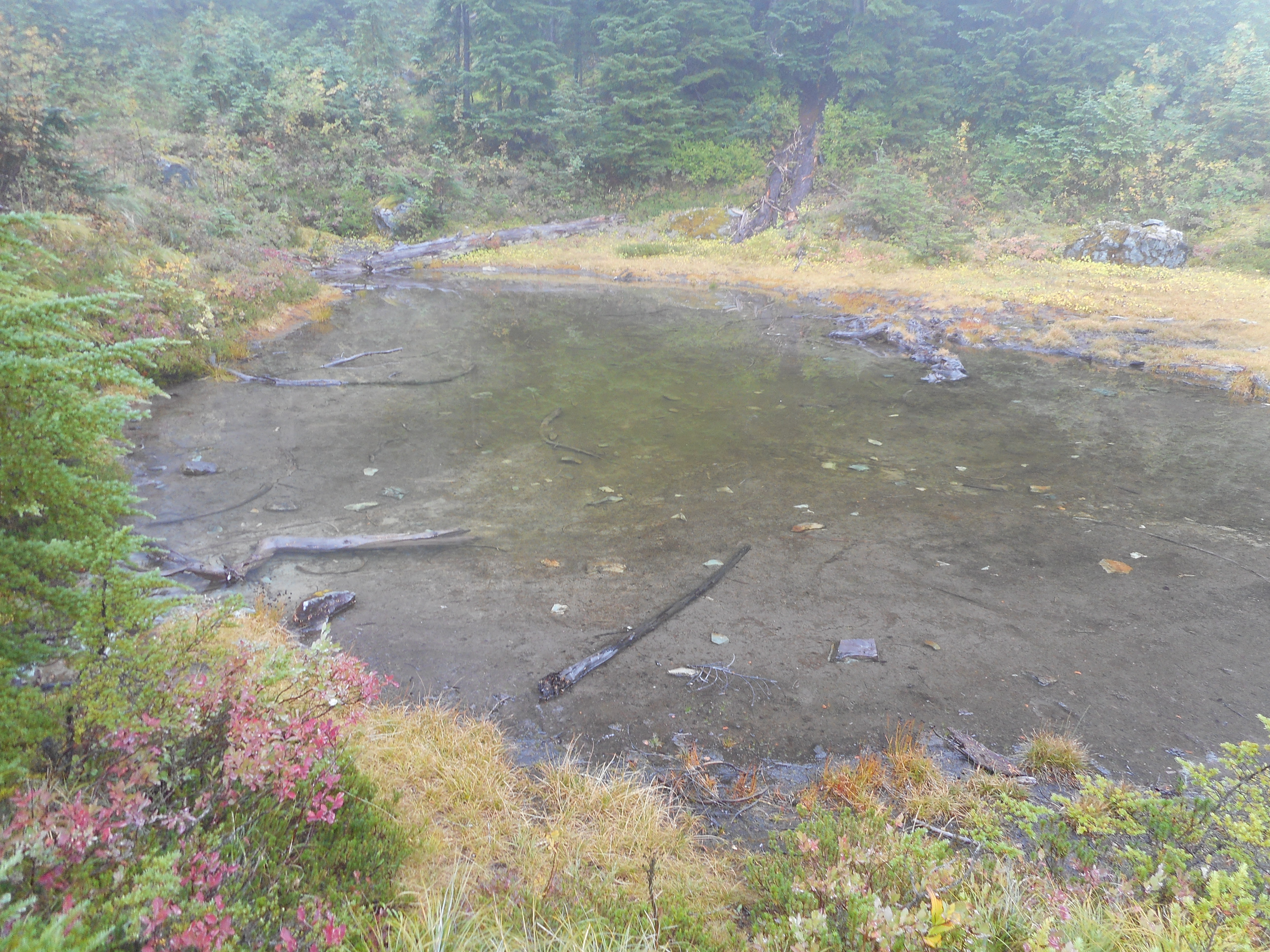
When we were here in the spring we discovered a really cool-looking lake in the shape of a salmon. But today, even with the rain we have had recently, the water was too low for this little mountain lake to look like much of anything.
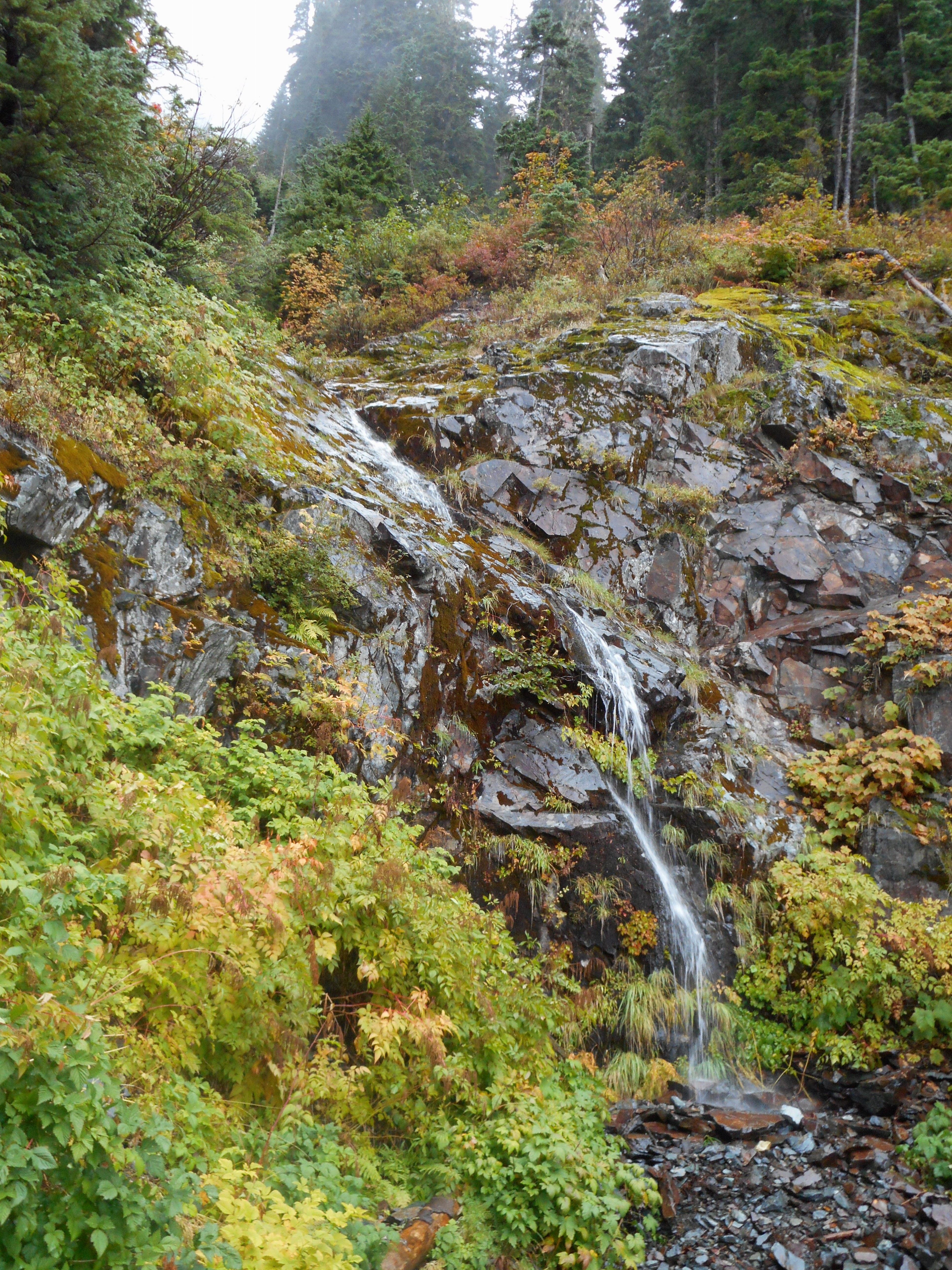
And, naturally, we got to share some space with a mellifluous little waterfall.
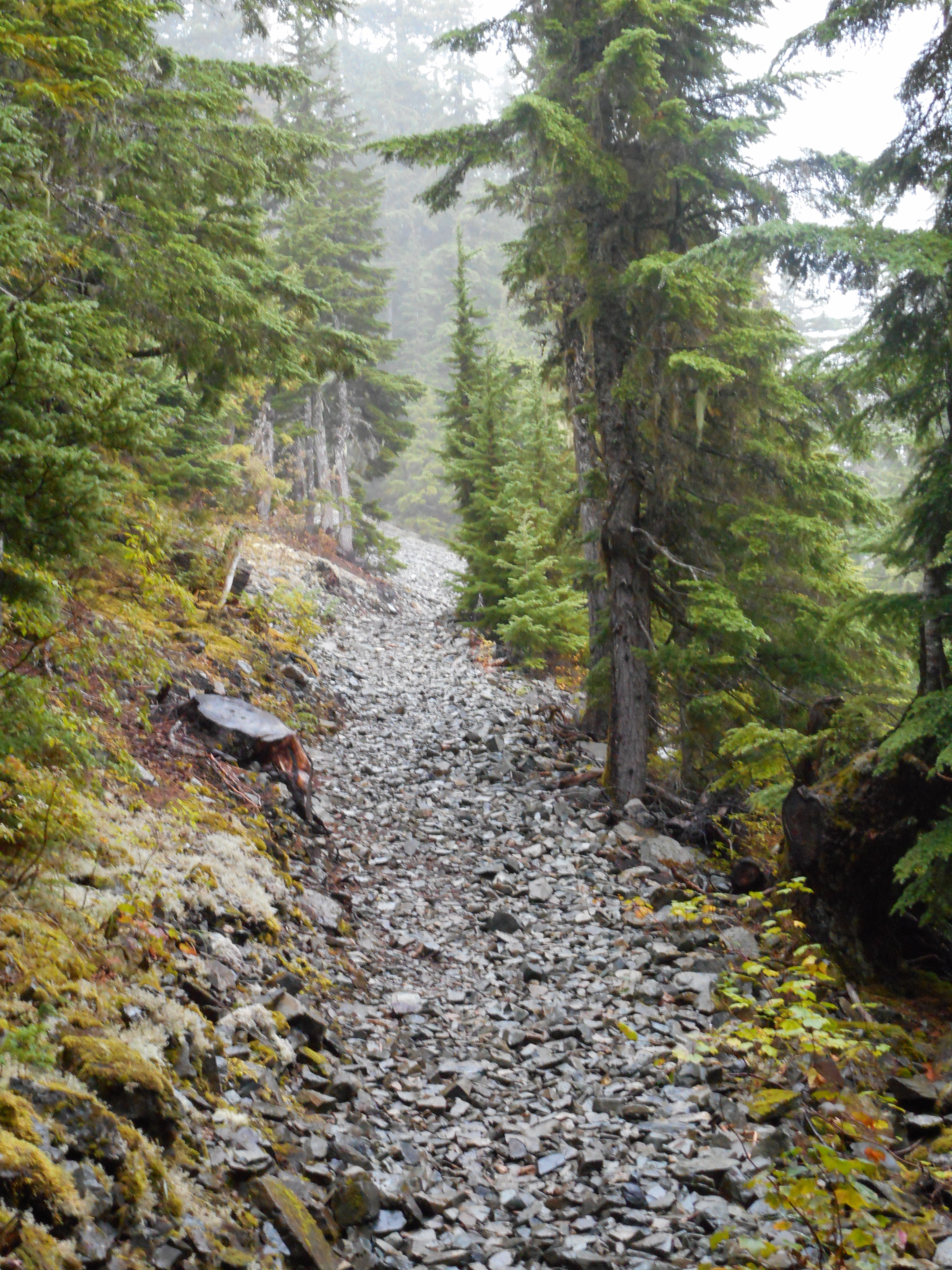
Finally, I was emailing with George and Darell about the talus field – we confirm it starts at 2.2m from the parking lot but it is only about .2m in extent.
We are talking about doing something this Saturday – let’s hope!
This was a wonderful hike, muscles not sore, great workout, we are mighty lucky people.
Update 9/16: Our Garmin recorded the hike and here it is on Google Earth. I love this stuff!