Our hike yesterday was just a bit more than 19 miles with something in the neighborhood of 6800 feet of elevation gain. Our goal was to use the Garmin to map Mt. Washington and its neighborhood – well, as much as we could in one day – and in that we succeeded.
In outline we:
1. Summitted Mt. Washington via the same trail we took on Thursday, the one that starts at a pond and ends with a mad trail-scramble (as compared to the various rocky scrambles in the area).
2. Went down the main trail to the Great Wall trail and then up to the summit again, this time via that trail.
3. Went down the Great Wall trail to yet another trail, up to the summit of Change Peak.
4. And then back down the Great Wall to the junction with Change Creek trail, and from there back down to the John Wayne/Iron Horse trail, which is about a mile east of where we hit the trail to begin with at 5AM.
It was about 3:30 PM when we returned to the car, for a ten-and-half hour hike.
Fun!
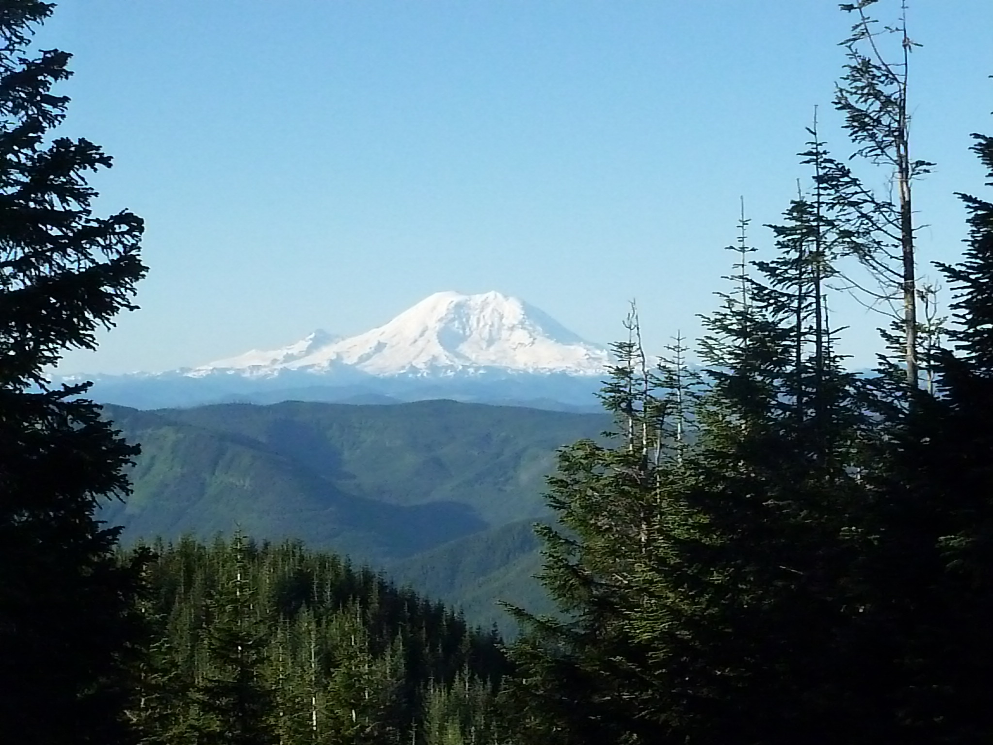
We have talked about Mt. Washington so much, would you like to see what it looks like from the Great Wall trail, heading (right in the picture) towards Change Peak?
Right in the middle of the mountain is a light-colored area with few trees and if you look closely you can see a sliver of trail going up and to the right. That is part of the main trail and it switchbacks up to the summit a few times from where you can see it in the photo. The second time we were standing there we saw hikers going up.
A little farther down this trail is Change Peak, our goal after summitting Mt. Washington twice. Since we were at about 3100 feet when we took this picture, the peak doesn’t look very tall, but the GPS told us it is about 4300 feet at the summit:
One of our landmarks on the Great Wall is a rocky prominence that, Derek discovered last Thursday, has a little cache object (a plastic box) on the top, semi-hidden. I suspect we stumbled across a geocache (Google it if you are curious).
Here is a picture of Grampy Joel on the top, reaching for the cache to leave a souvenir for the next explorer:
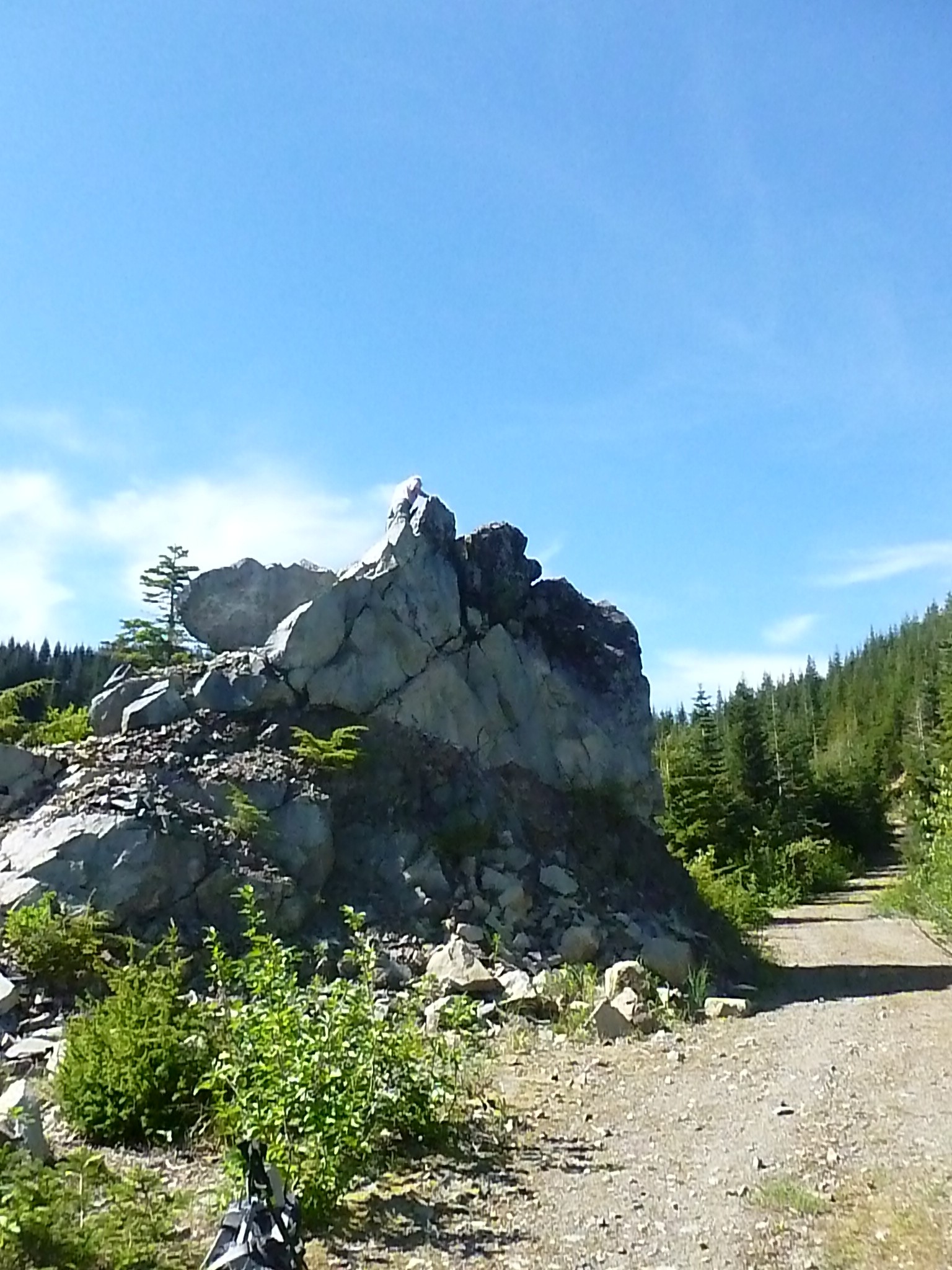
To reach Mt. Washington summit from here, keep going straight, turn right at the logging road intersection, and when you reach a trailhead that looks too steep and too unmaintained, that’s it. It’s a 30 degree grade for 900 feet to intersect with the main trail, just a few yards from the summit.
By the way, since Derek was the first of we two to climb this little pile of rocks, he is on the hook to name it. As of 6/6/15 he is still considering it.
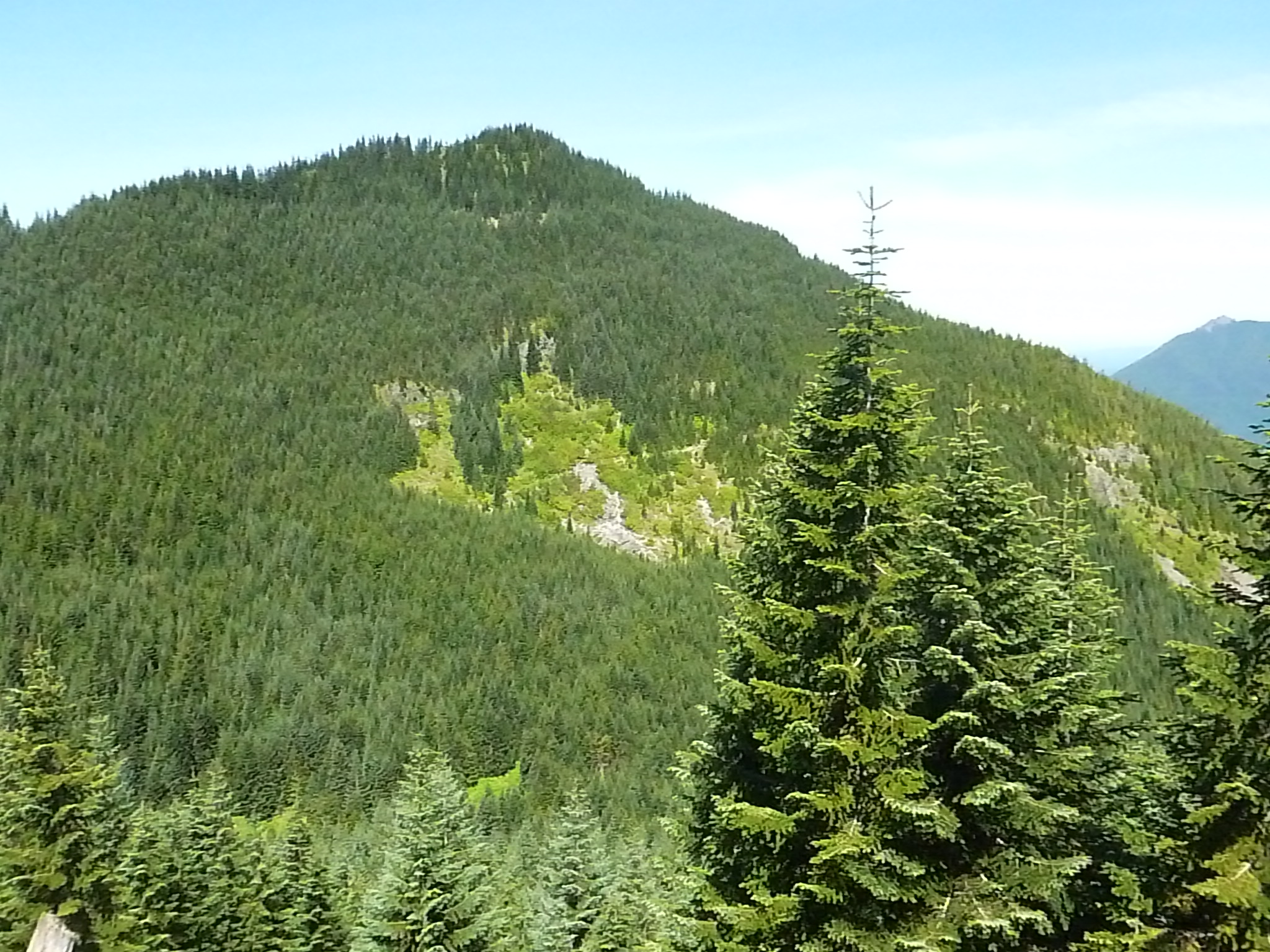
And here is the neighborhood of many of our other hikes, including the one we plan for Tuesday, June 9, looking north from around the corner:
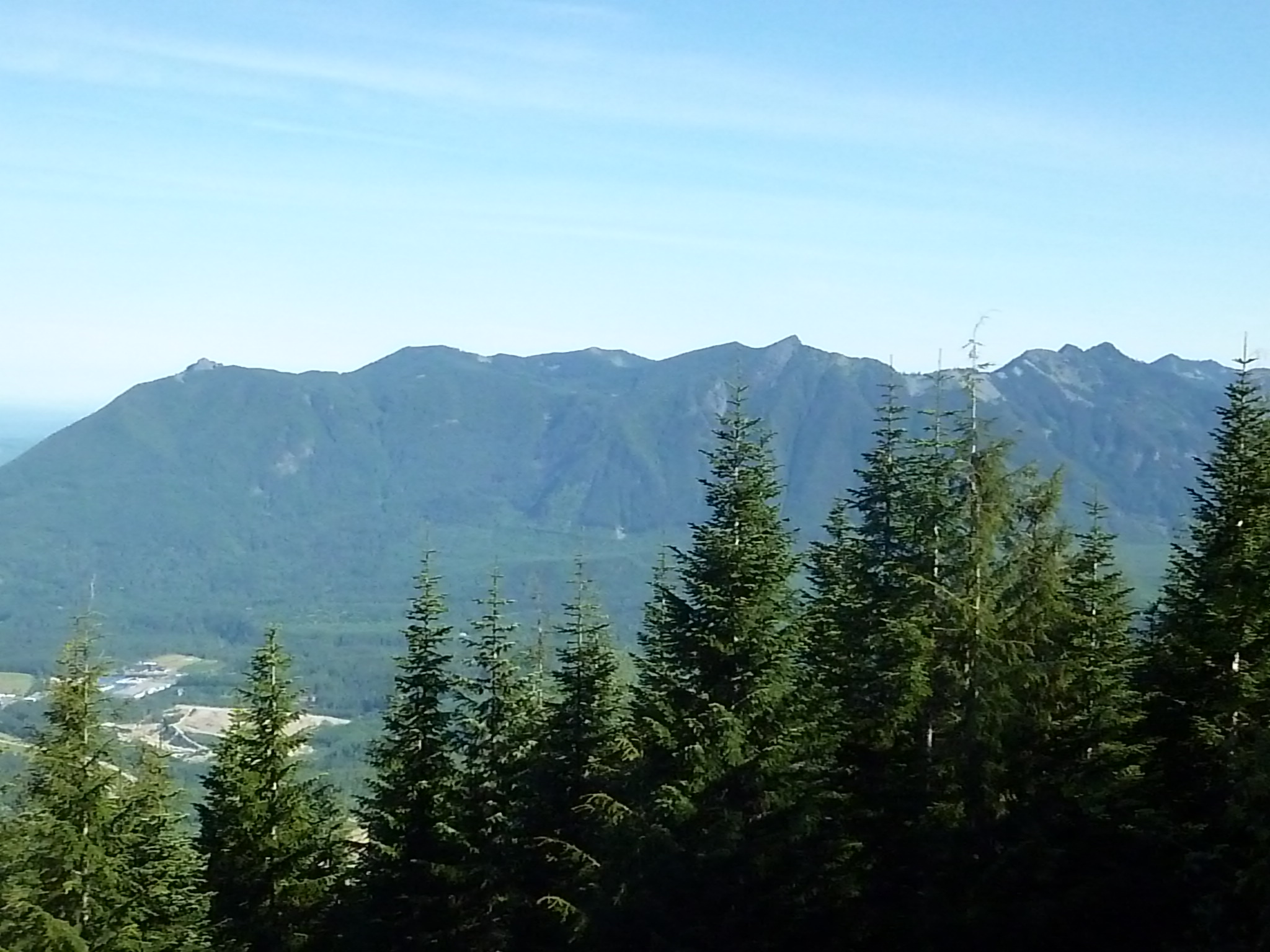
Little Si is out of the picture to the left; Mt. Si/Haystack on the left; then two peaks that represent a ridge between Si and Teneriffe; then Teneriffe.
On Tuesday we are going to pretty much go straight up Teneriffe via the invisible trail just to the left of the first taller (actually, just closer to the camera) tree starting in the center of the picture.
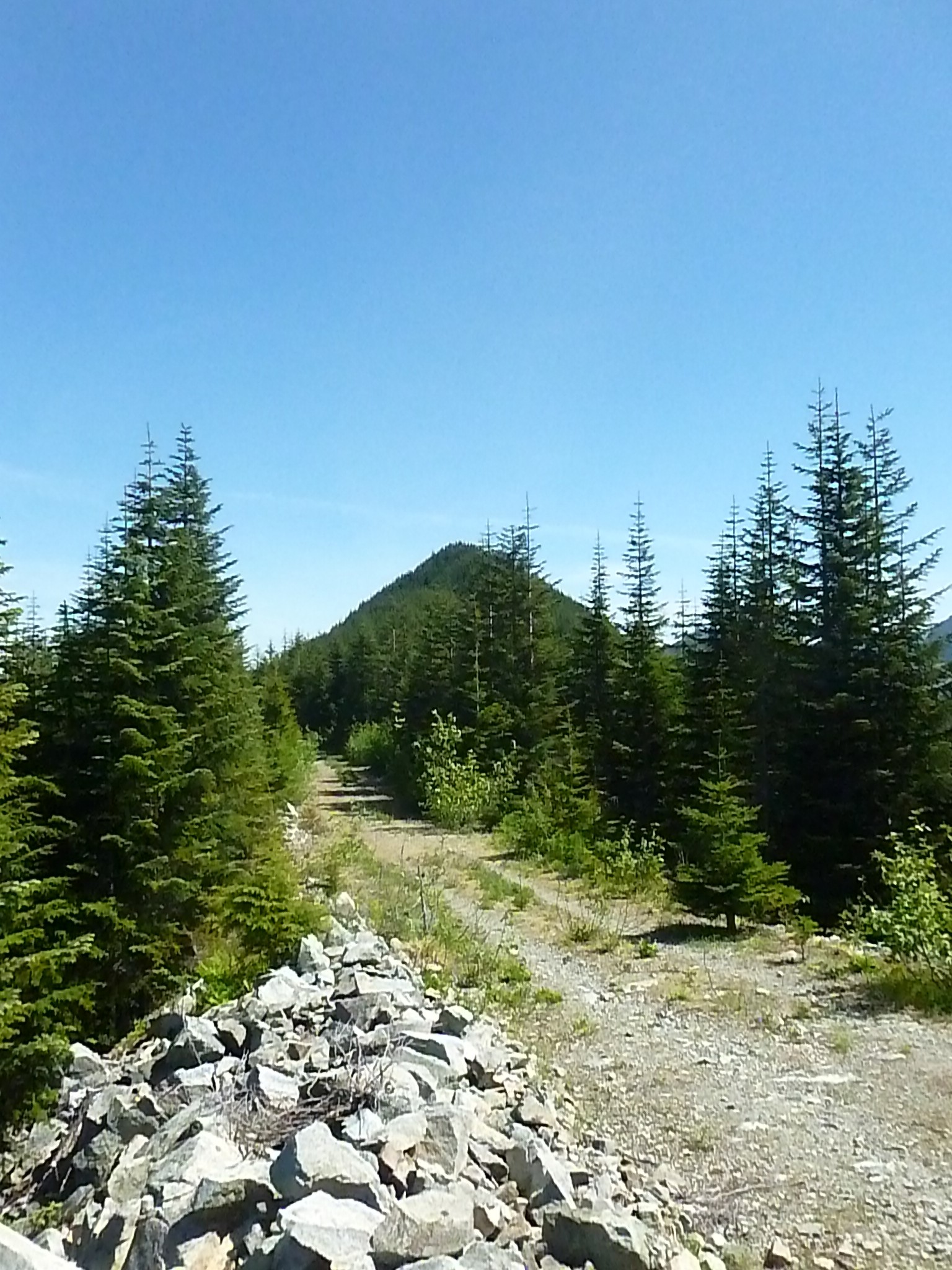
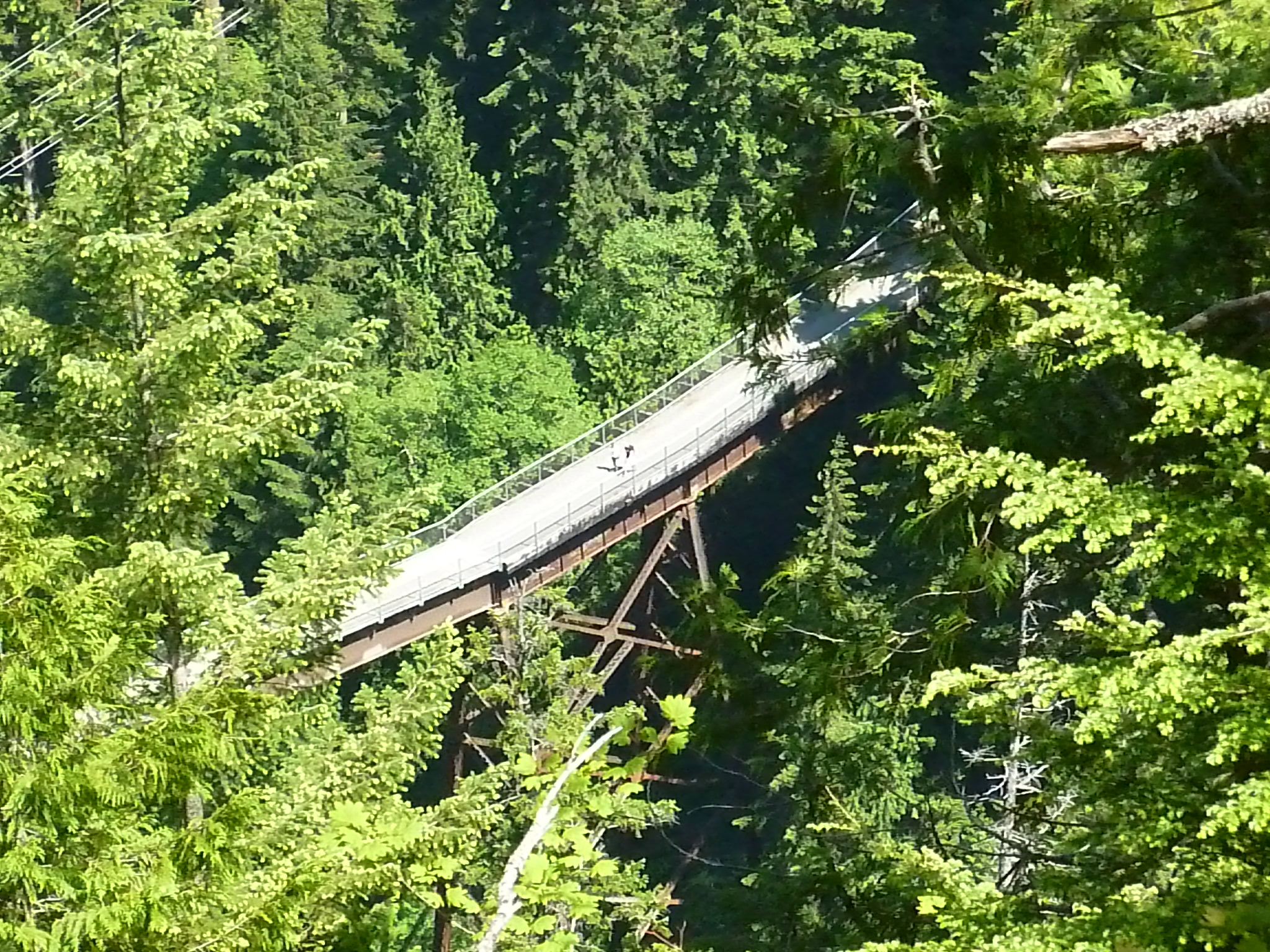
The Change Creek trail was new to us and because it is twisty and turny we were a little tense that we were going to head back to John Wayne/Iron Horse but suddenly our goal was in sight and our fears of having to backtrack seven miles disappeared:
All in all we had a terrific hike. Just over 19 miles on the GPS. Ten hours and thirty minutes by the watch, and for our Boeing On The Move calculation that counts as 630 minutes @137 steps a minute.
Tuesday is the Kamikaze Trail to the summit of Mount Teneriffe on two days of leg rest so I am – except for a pending trip to the off-leash dog park with Jan and Lili later – a couch potato today.