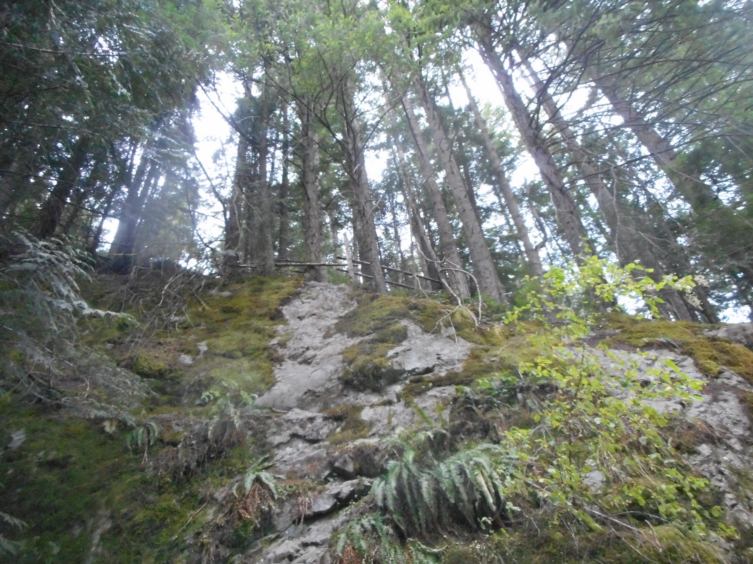
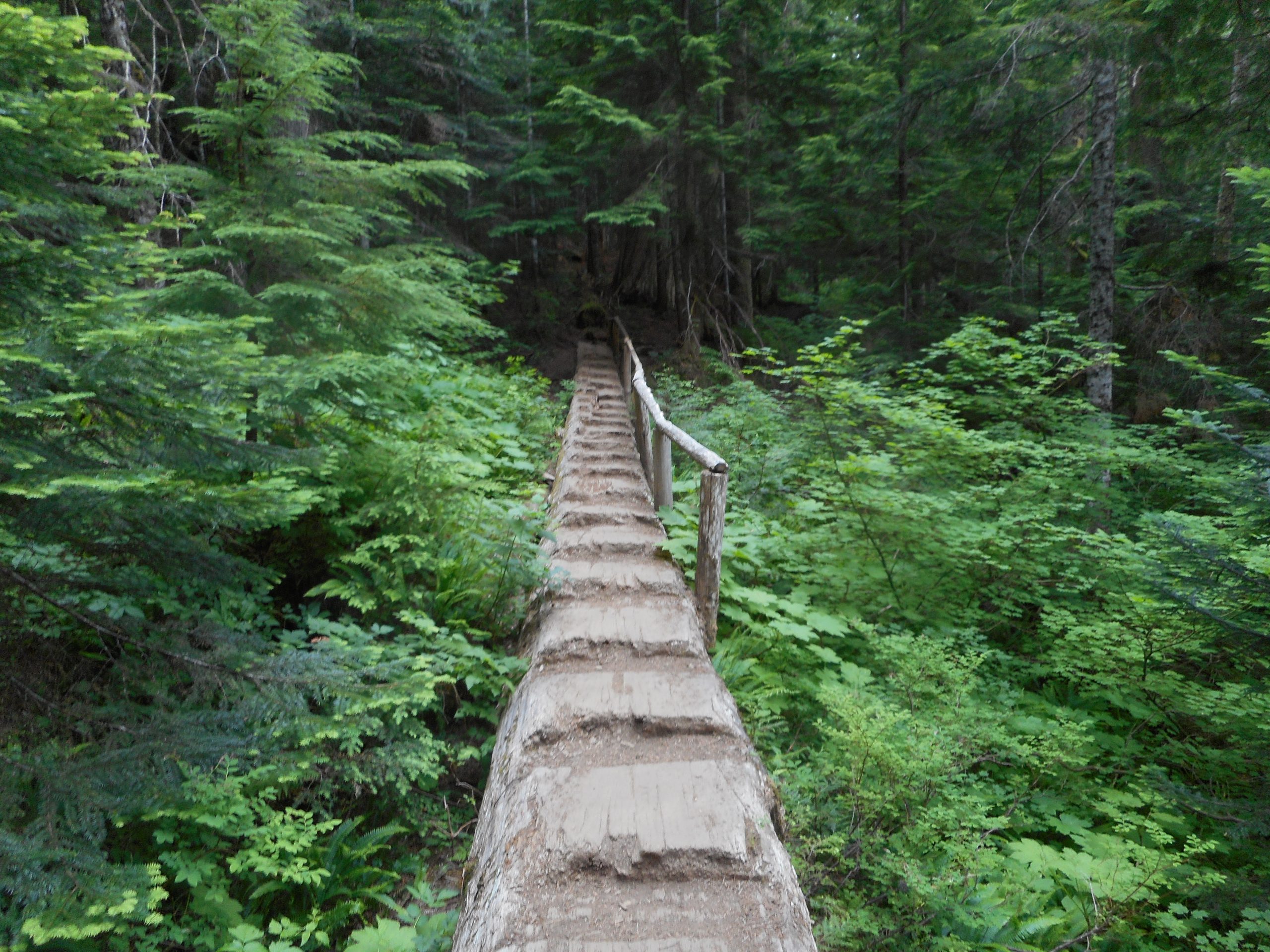
I haven’t hiked for more than a week because I had a couple of ugly blisters. I got out today but only went up to the Palouse-to-Cascade trail. As I got to the trail I looked up and saw a couple of rails someone has put up on the Zig Zag Trail – gives you an idea of how steep Zig Zag is:
Rails on Zig Zag
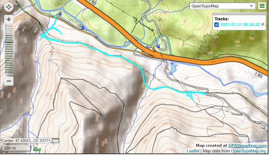
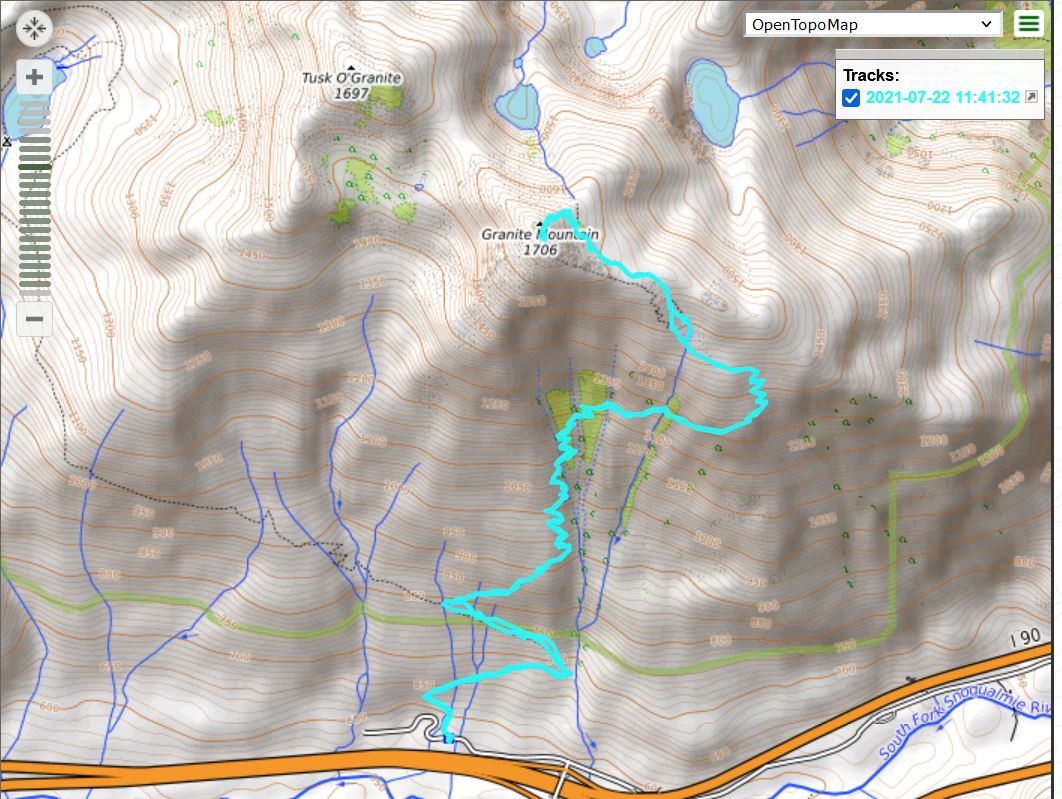
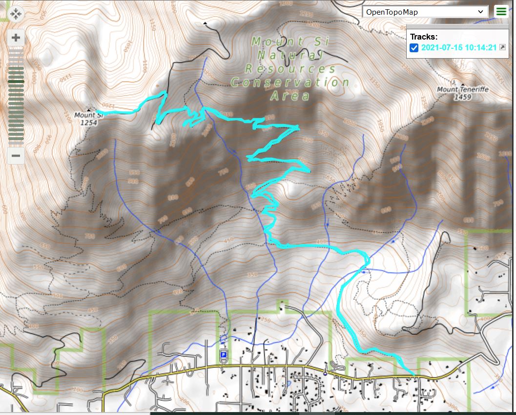
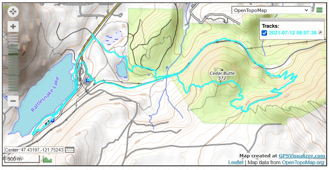
I went east on PTC to Garcia and on the way back explored a couple of side trails, as is evident from the track (below).
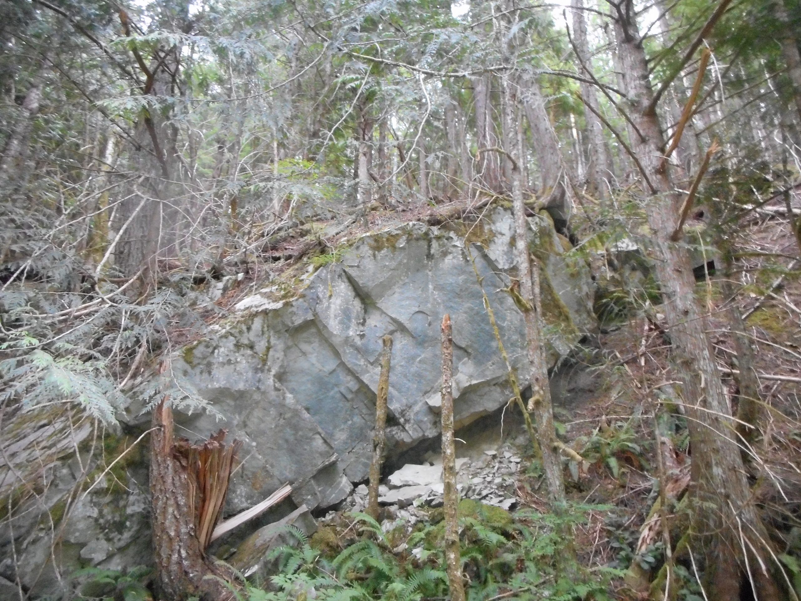
As ever, there are plenty of interesting things to see out there:
Cool Rock
I am hoping to do McClellan Butte on Tuesday and then on Thursday, I will be going east, staying overnight in my tent at Lake Easton State Park.
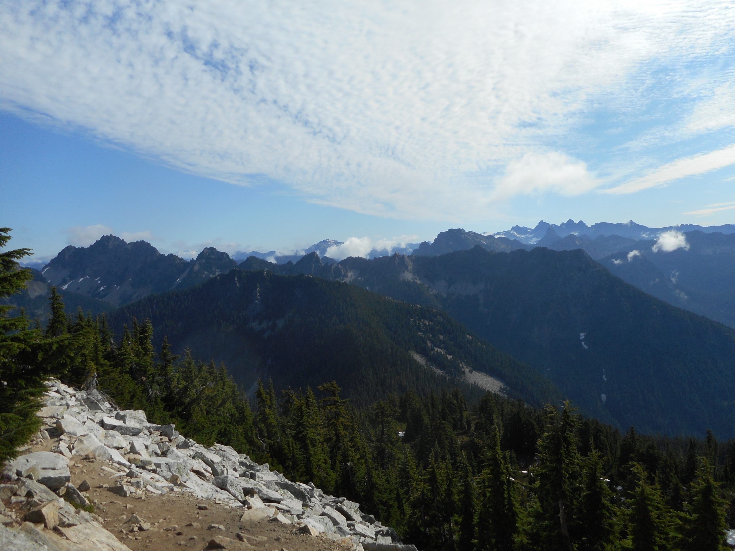
I did a real hike today, 8.22 miles, 3,800 feet of elevation gain. Granite Mountain is a tough one but worth it. Incredible workout and the views at the top (such as above) are awesome.
It has one of those summits that hikers love to have to themselves. Granite gets busy and while the summit is not tiny, it is not capacious. Basically, you are sitting underneath a lookout tower:
Underneath the Lookout
I started up the trail about 5:45 am. I saw not a single person on the way up. On the way down I started to run into people going up, and a few of them asked me how many people were ahead of them – so they would know what to expect on top.
The way to get the summit to yourself is to get up early and head up the trail early. And, not coincidentally, before it gets hot. I soaked one sweatband but that’s not bad for a hike like this. It is rocky and steep, with many, many 2.5 to 3 feet step-ups.
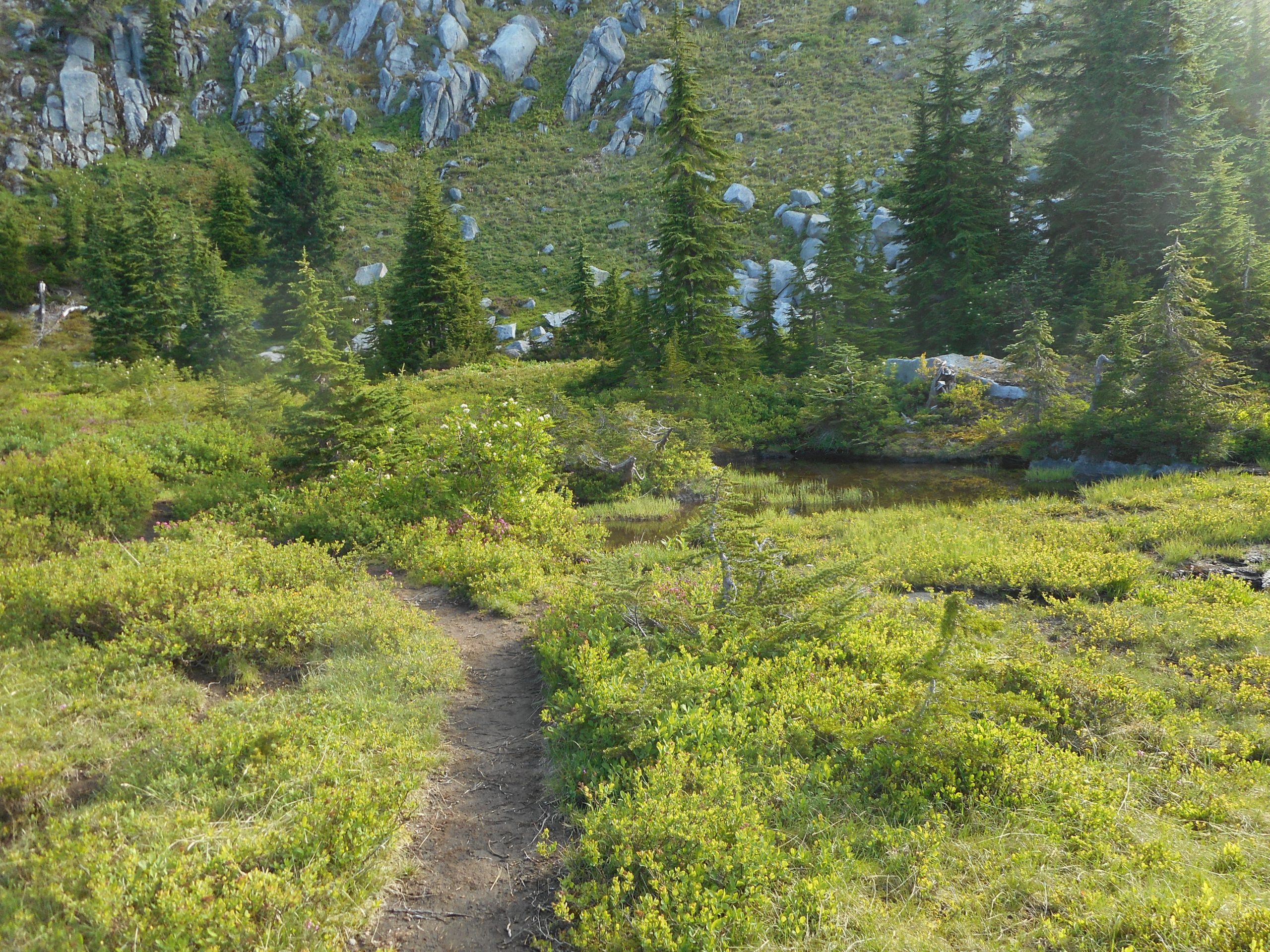
The summit is 5,600 feet. At about 4,800 feet there is a really nice meadow:
Alpine Meadow
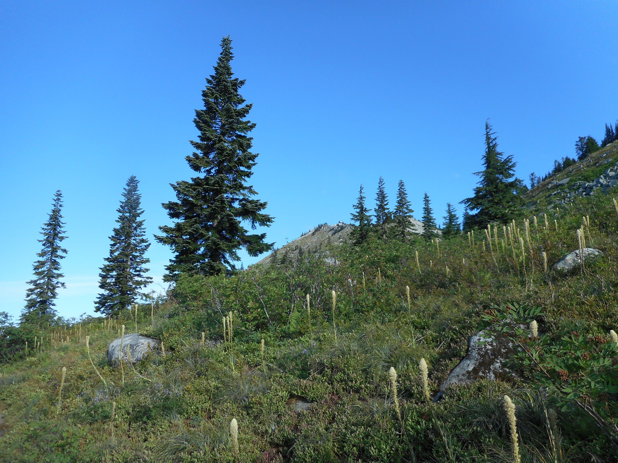
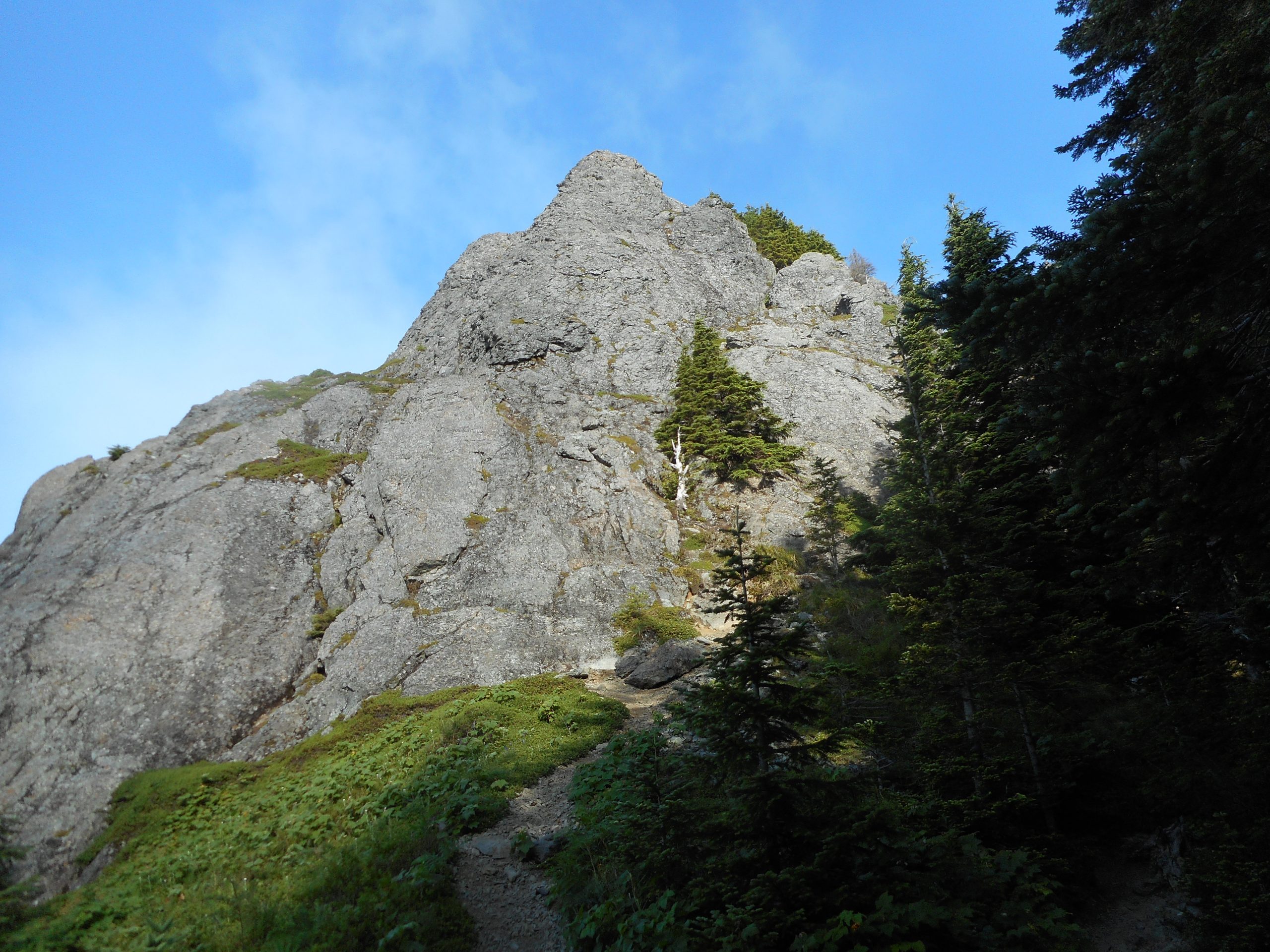
A nice feature of this hike is that along the trail, there are opportunities to see your goal. And yikes! You can see how much higher you have to go:
The Goal
Anyway, it was a great hike. Not sure what I’ll do next but whatever it is, it will be fun.
Another conditioning hike today but not the one I was planning. I wanted to do the Margaret’s Way Trail on Squak but at 5:20 when I tried to park there was a gate. So I quickly came up with Plan B, which was to go a few miles further to the other side of Squak, park at the SE May Valley Rd lot and go up the Central Peak Trail to Central Peak.
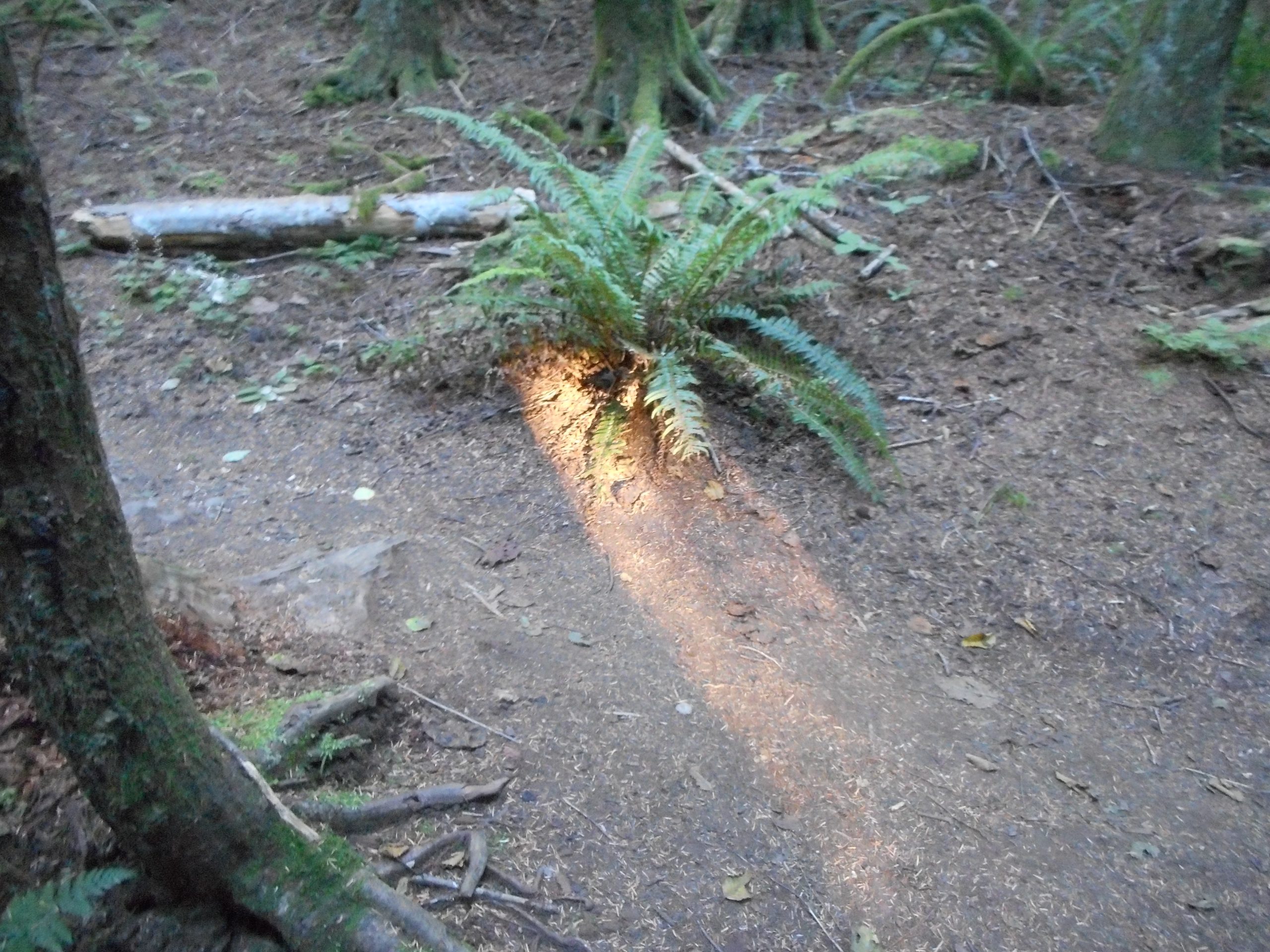
It was shady most of the way but at one spot there was a tiny little pinprick of sun shining through and it made a plant look like it had a tongue of fire. Very cool.
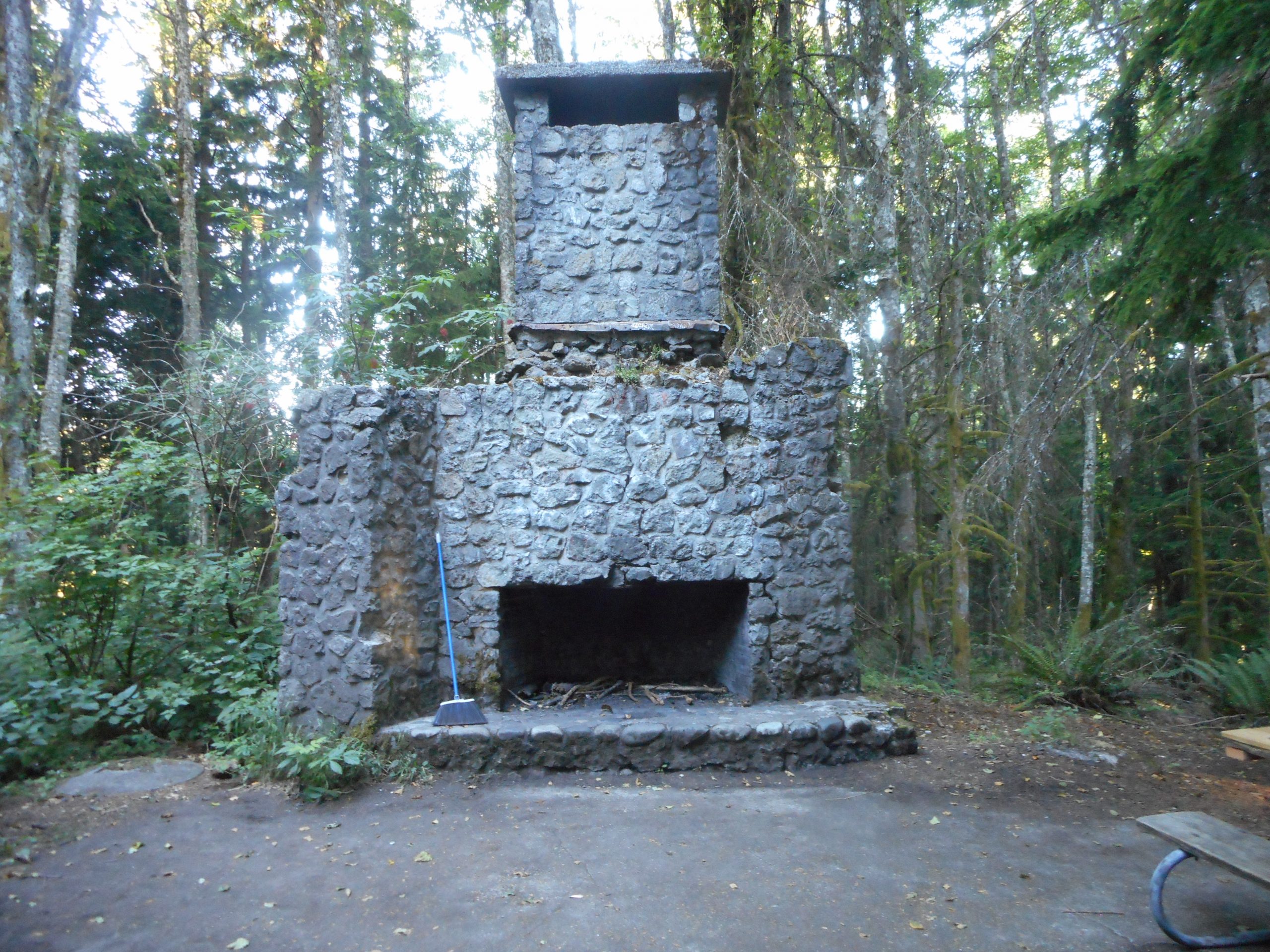
The Bullitt Fireplace is naturally still there but for some reason, someone has placed a broom by the fireplace. OK, if we need to sweep, we have the tool.
Bullitt Fireplace
About 6 miles, probably a bit less than 2K elevation gain, not a strenuous outing but fun enough.
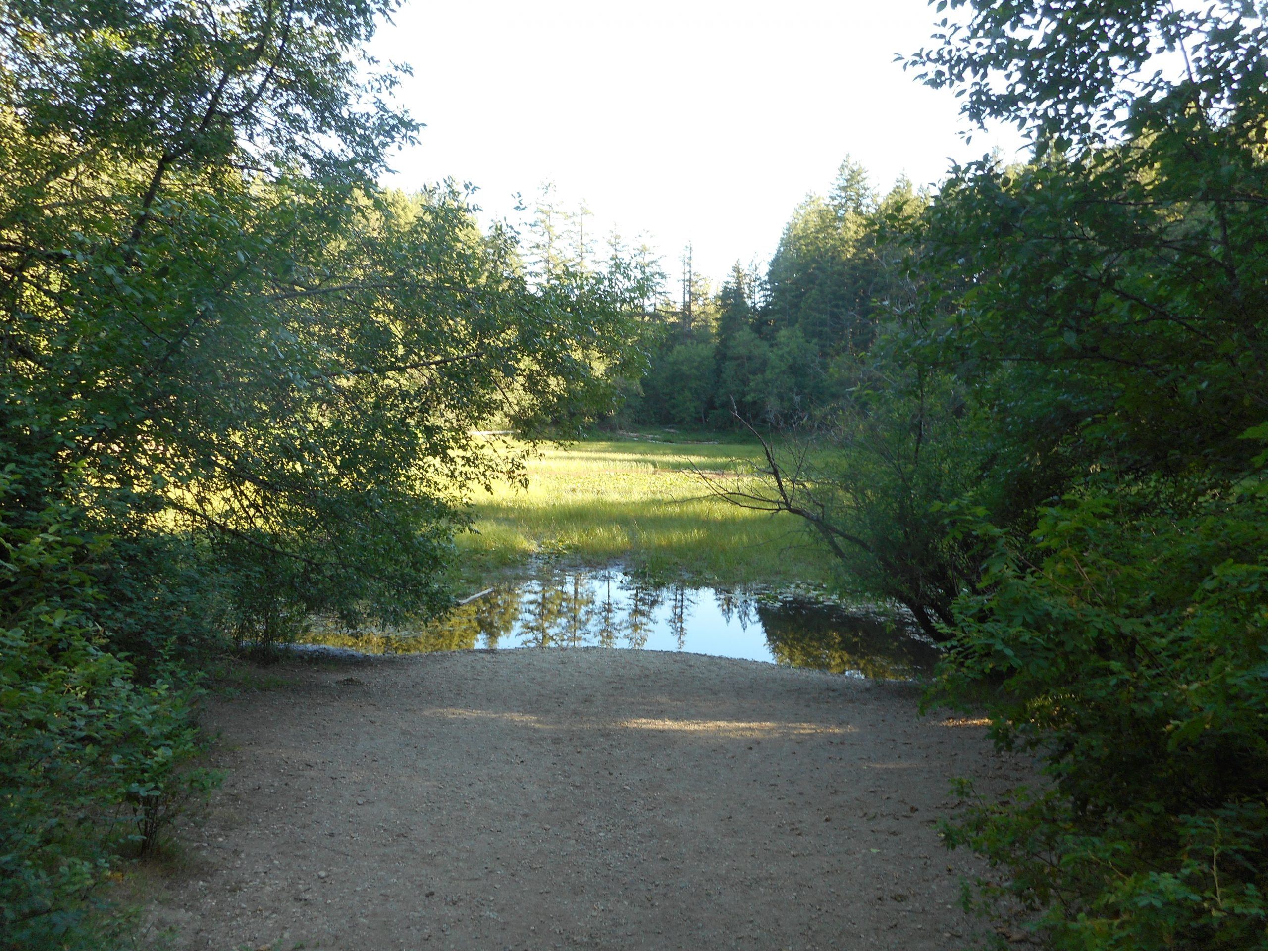
Last October I took a photo of Round Lake and it was more like a puddle. I decided to take a photo every 3 months to track its condition and today was the last one. There was a bit more water today than there was in October but not much. Here is October:
Round Lake in October
It looks most like a lake in April, with all the rain and snow melt but it is a ‘diminished thing’ these days.
Just a conditioning hike, no big deal but they all add up.
Today’s hike had everything but a view. It was cloudy most of the way. A little sunshine to the west when I got to the Mount Si summit block (the Haystack) but rain for almost an hour on the way down.
But the hike was just a bit more than ten miles, 3300 feet of elevation gain, not a blazing hot day. I saw no one all the way up and a grand total of four people on the way down.
I went up the Mount Teneriffe trail to the Si connector trail and then back down the same way. The new Mount Teneriffe parking lot doesn’t open (there is a gate) until 7 but the old lot, a school bus turnaround, is always open. Illegal to park there on a school day but today – no problem.
So I started up the trail at 5:12 am and got back to the car just a bit after 9.
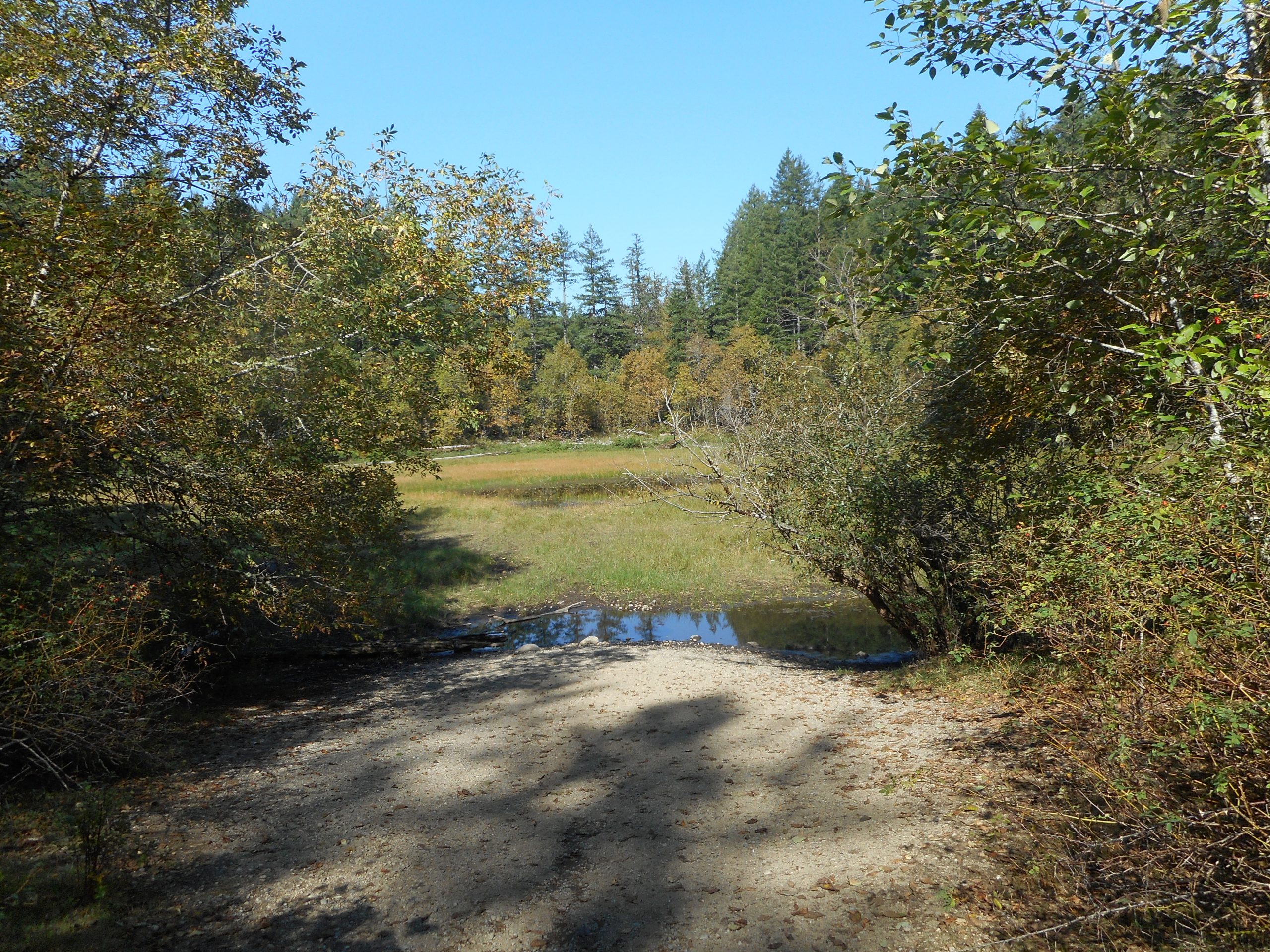
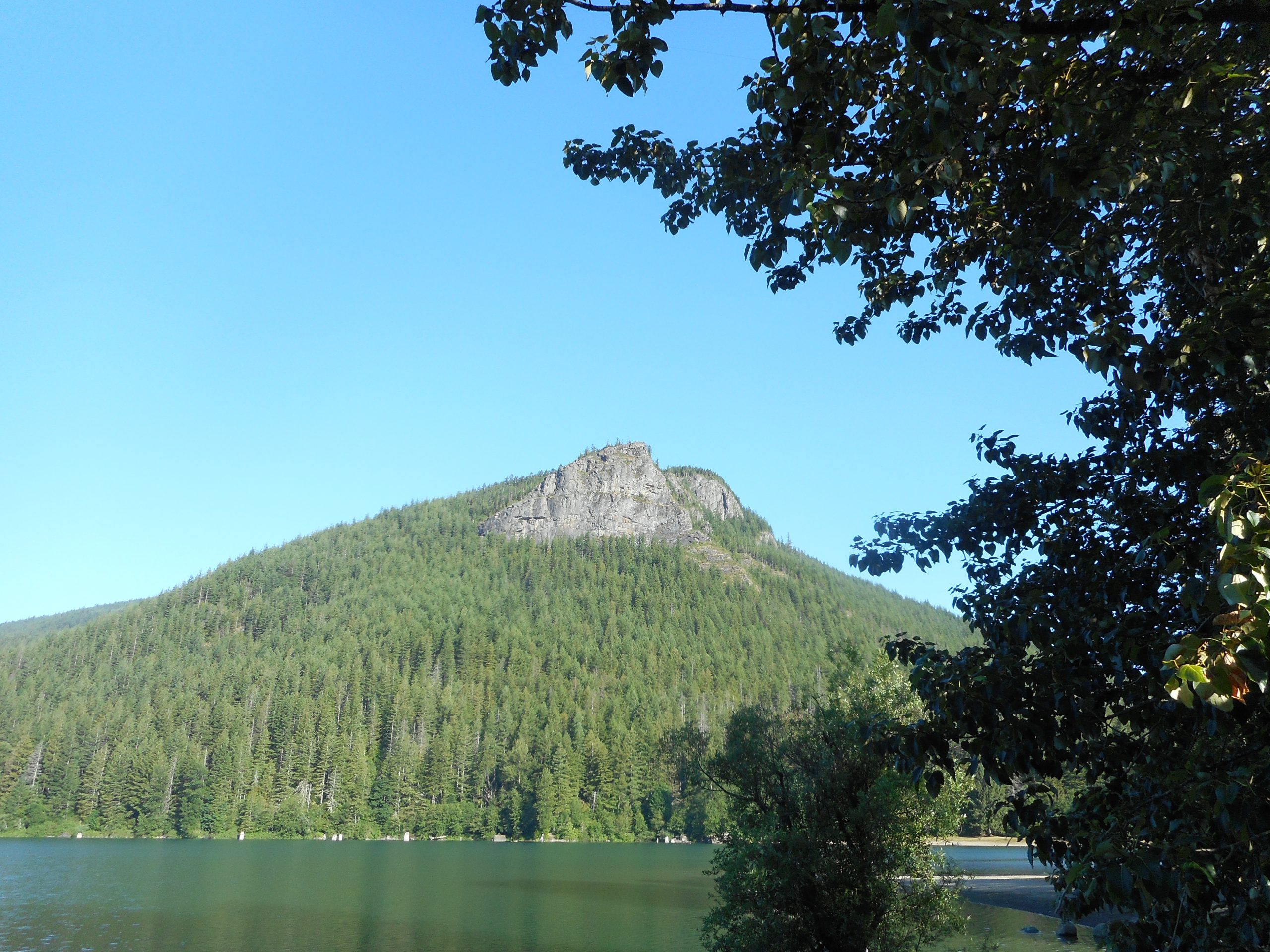
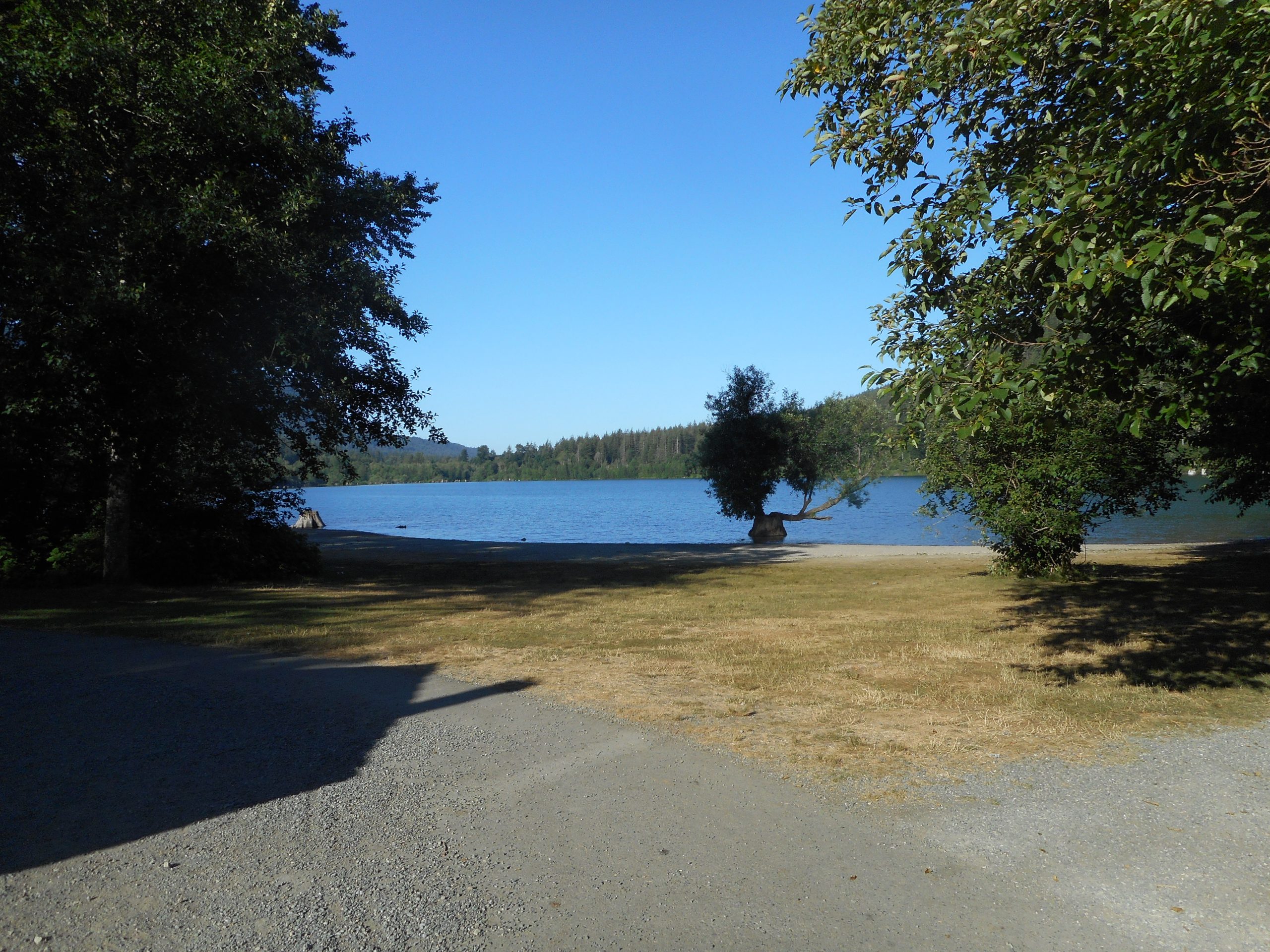
I did about 7.9 miles today, not real steep. Up Cedar Butte Trail to Olallie then down, then to Christmas Lake and I added some fun and easy mileage by going down the trail to the (closed, still closed) Cedar River Watershed Education Center, then back.
Not a hugely taxing workout but pretty good and lots of fun. Rattlesnake Lake is at an OK size right now:
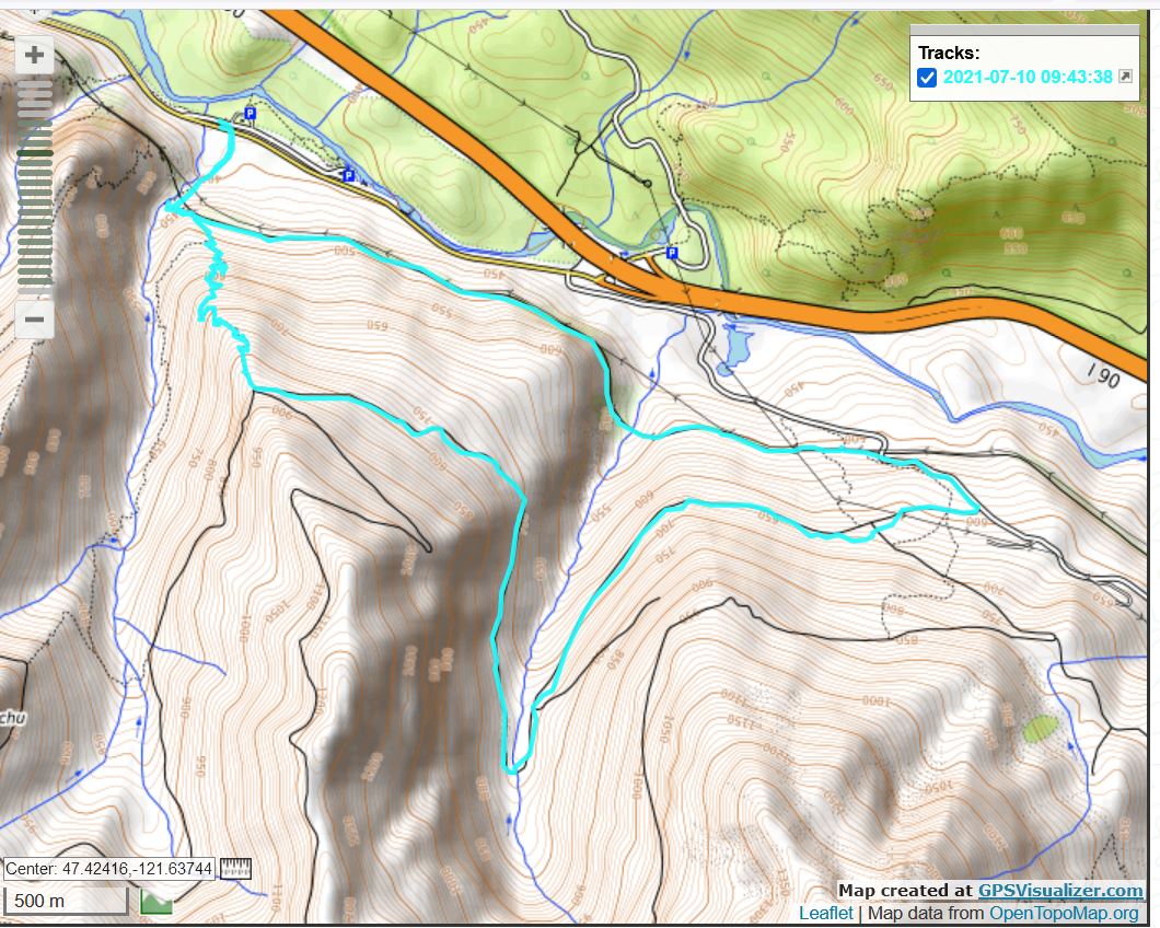
I did the Zig Zag Trail today and then went back via the service road, NF9021. Total of about 7.2 miles. Zig Zag is steep, 1350 feet in a mile, so it is a nice workout, even if the route from the top of Zig Zag back down to the car is fairly easy.
Beautiful day. I started up the trail just after 6am but even so, my sweat band was soaked by the time I got to the top of Zig Zag.
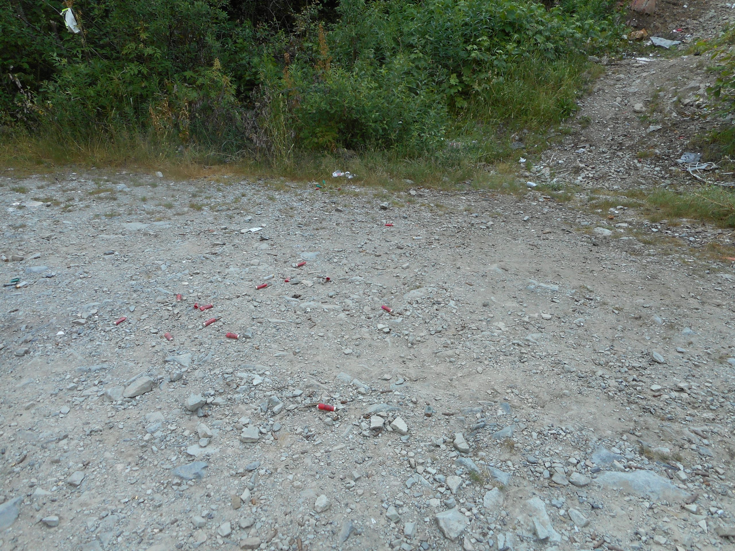
Plenty of views, including the very nasty sight of shooting galleries along NF9021:
Leave No Tracers
I fail to understand why people feel it is OK to:
a. Illegally do target practice in an areas where you might wind up shooting someone, and b. Leave your garbage and gun detritus around.
In addition to the shells and cartridge cases, they leave beer cans, other debris – it is like a junk yard in some areas. Yuck.
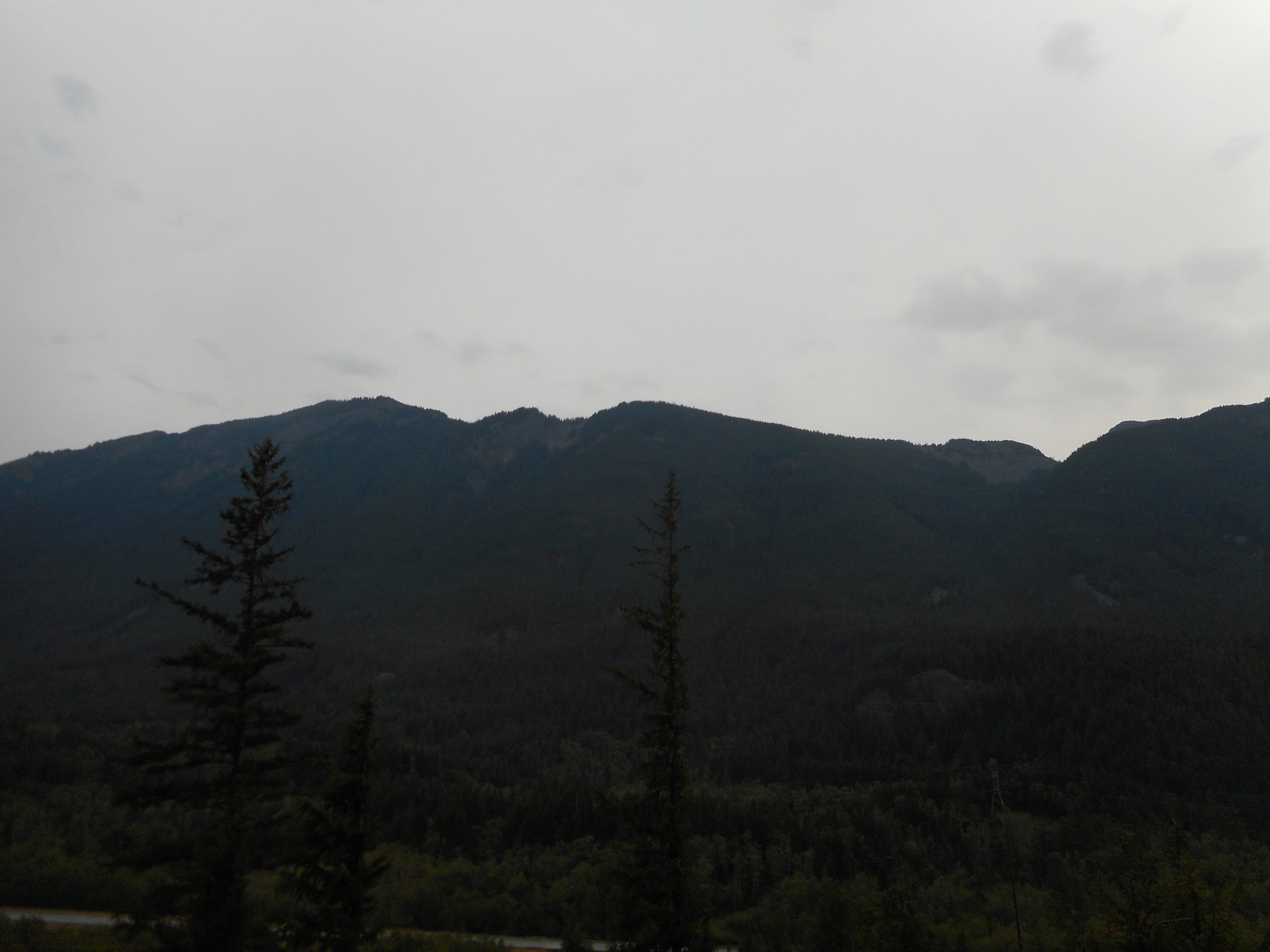
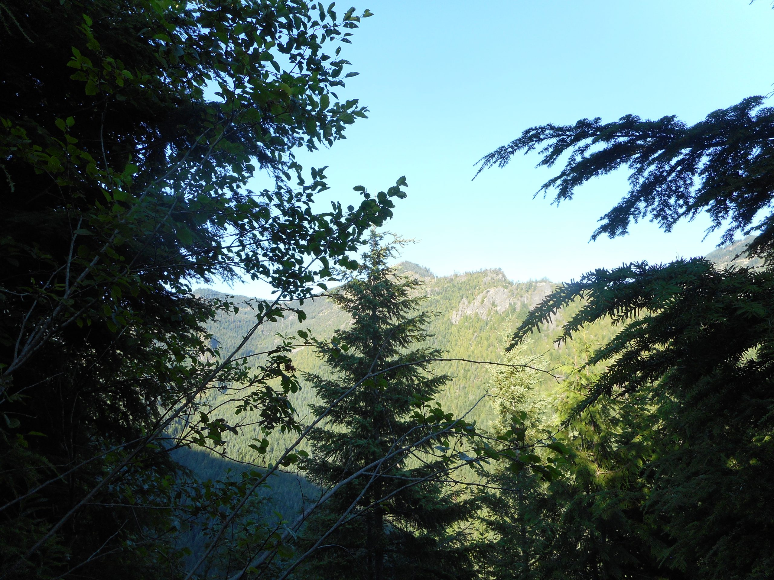
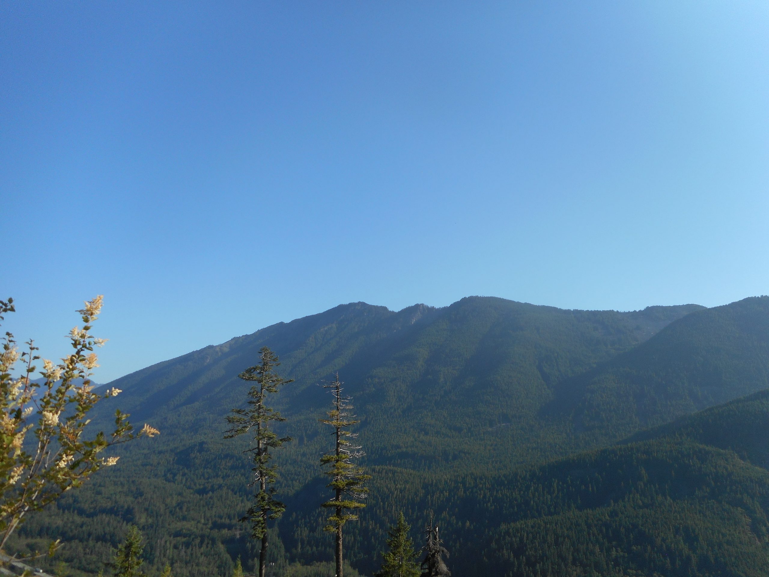
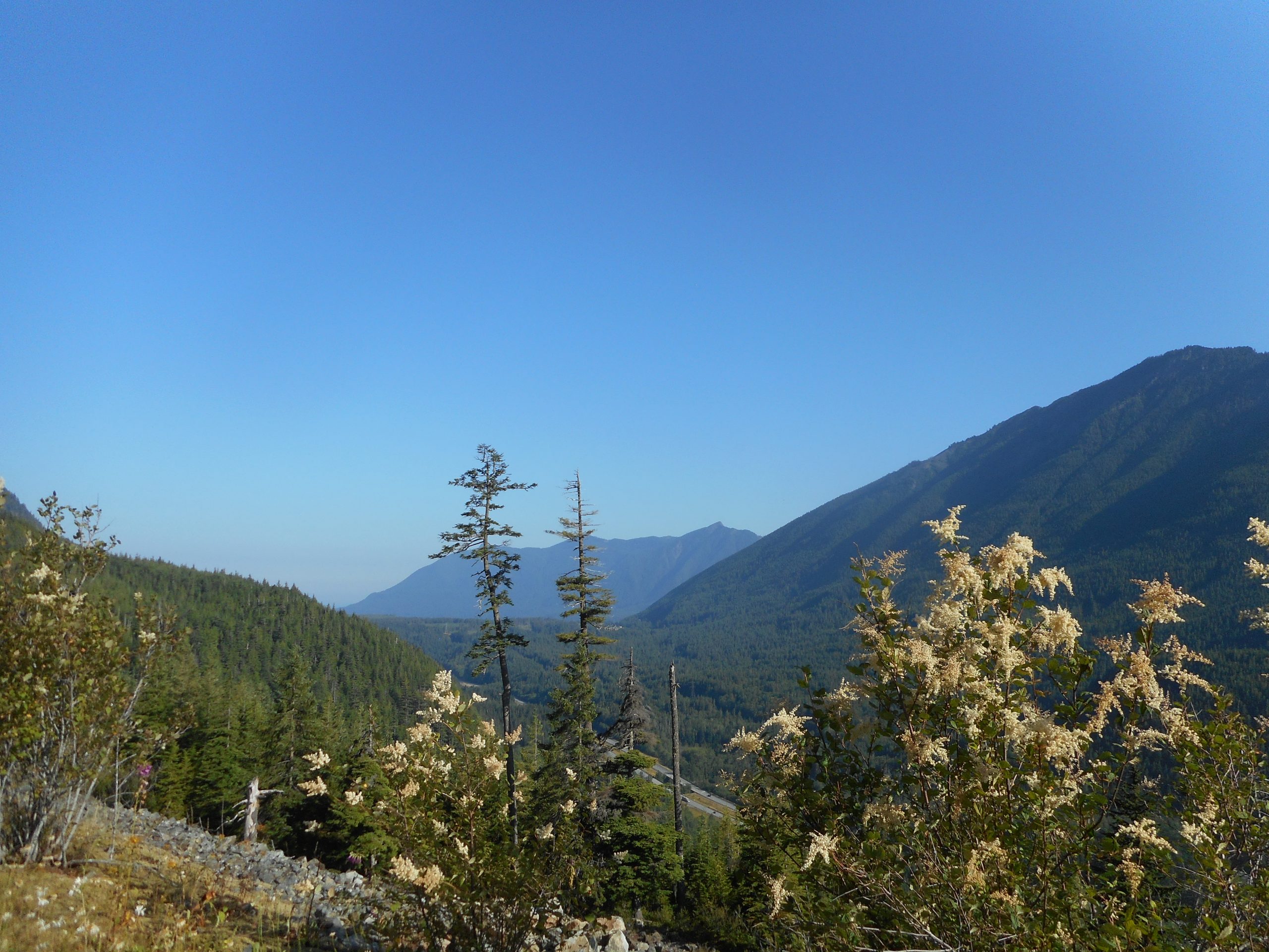
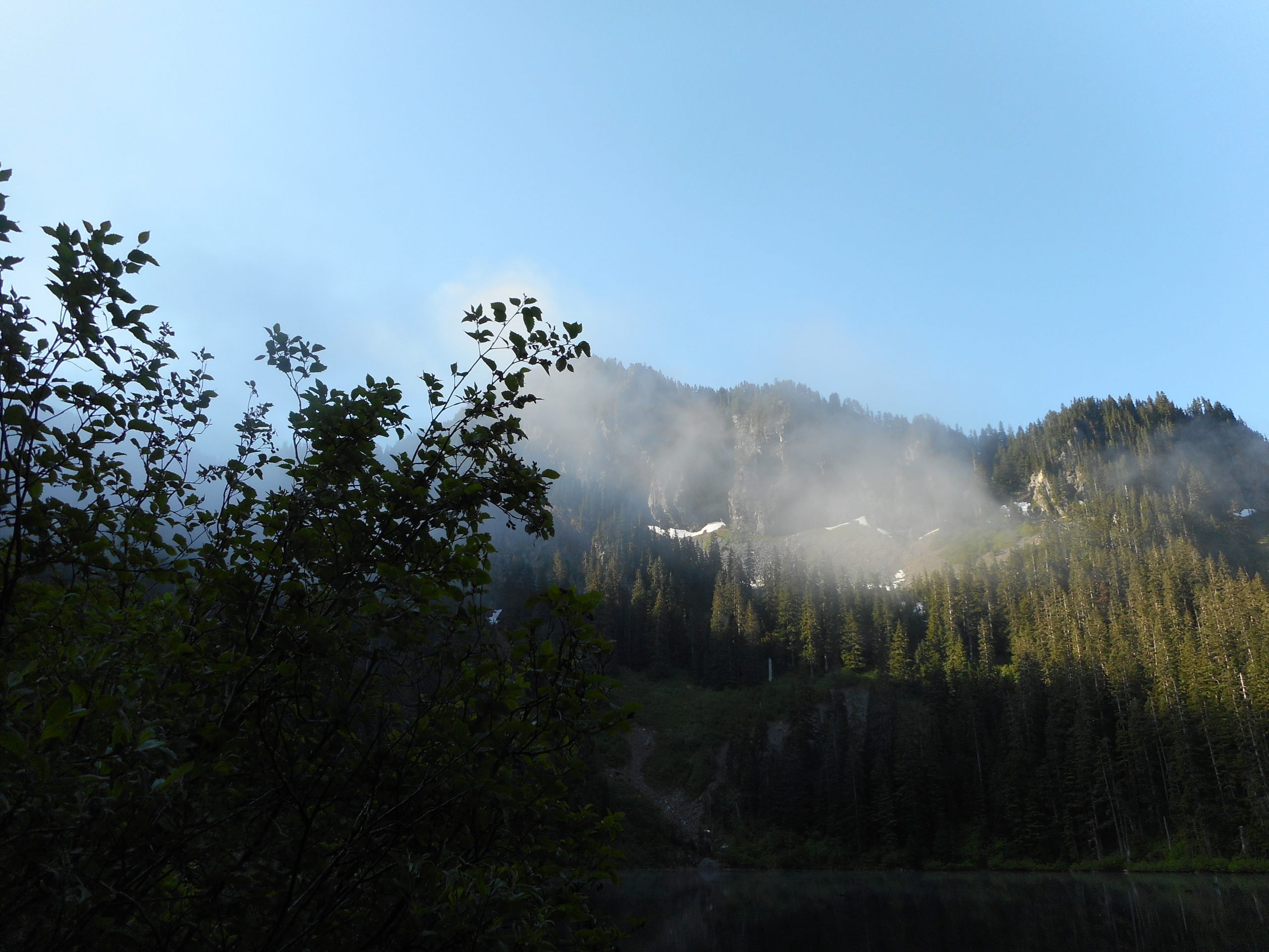
But when you aren’t looking at the crap you get to look at some nice mountains:
I did a nice one today, Annette Lake. At the end I did, for the first time, the Asahel Curtis Nature trail. The trail head for this little interpretive loop is right next to the Annette Lake trail head. The little trail is nice, perfectly fit for kids or out-of-towners or anyone who wants to experience a forest trail without having to lug their butt up a long, steep trail. There are a dozen plaques along the trail that show you what you are looking at – Douglas Fir, Red Cedar, wetlands, etc. etc. It is nice.
Annette Lake is a very popular destination. On weekends it is jammed, impossible to find a place to park. Cars line the service road for a long way.
But I pulled in today about 5:45 am and only one car was in the lot, I presume an overnight backpacker or two. Anyway, I saw no one on the way up and about a dozen or so people on the way down. I also saw no one on the nature trail.
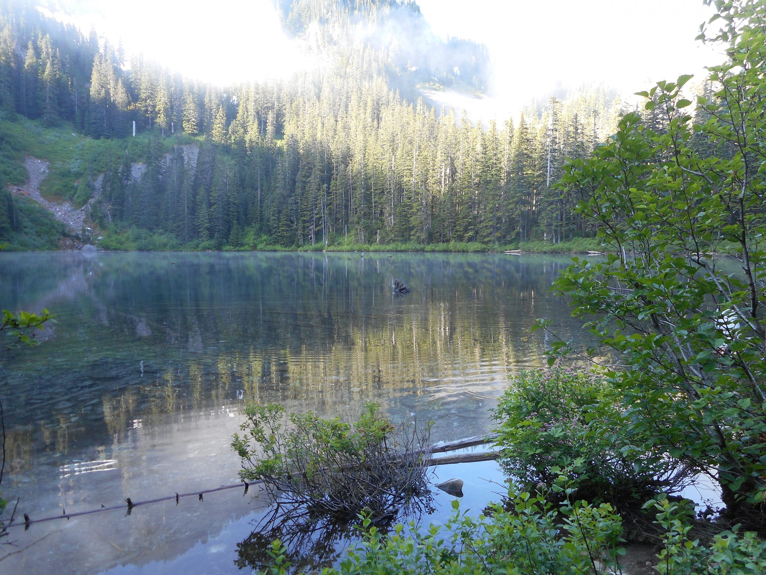
About 7.75 miles, 2K elevation gain, a beautiful walk through the forest to a gorgeous sub-alpine lake. The lake is surrounded by mountains and, when you are only one there, totally peaceful. Nice!
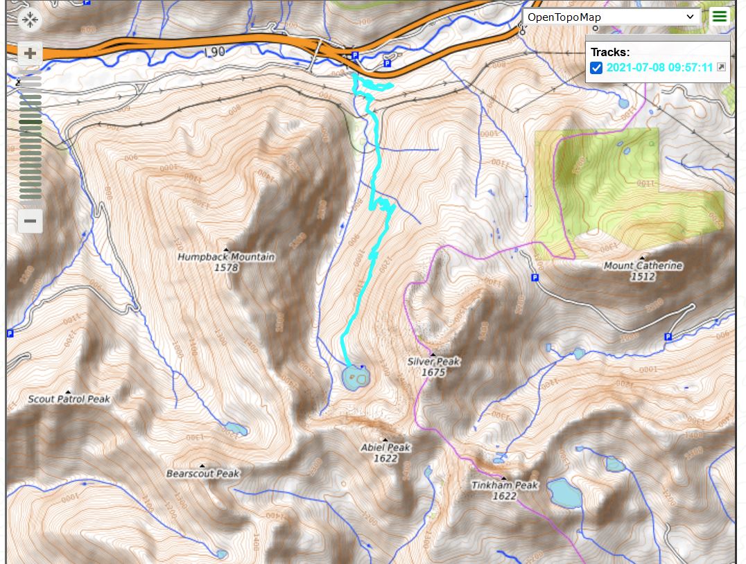
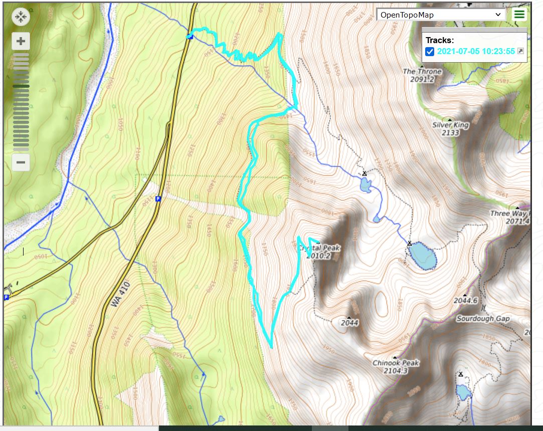
I treated myself to a post-Fourth hike in Mount Rainier National Park. I summitted Crystal Peak (elev. 6595) at about 8:30 am. I left the car to go up the trail about 6:15. Round trip mileage was just over 8 miles.
The first 1.5 miles of this hike share the trail with those going to Crystal Lakes and beyond. There is a signed junction for the Crystal Peak trail and I took that route.
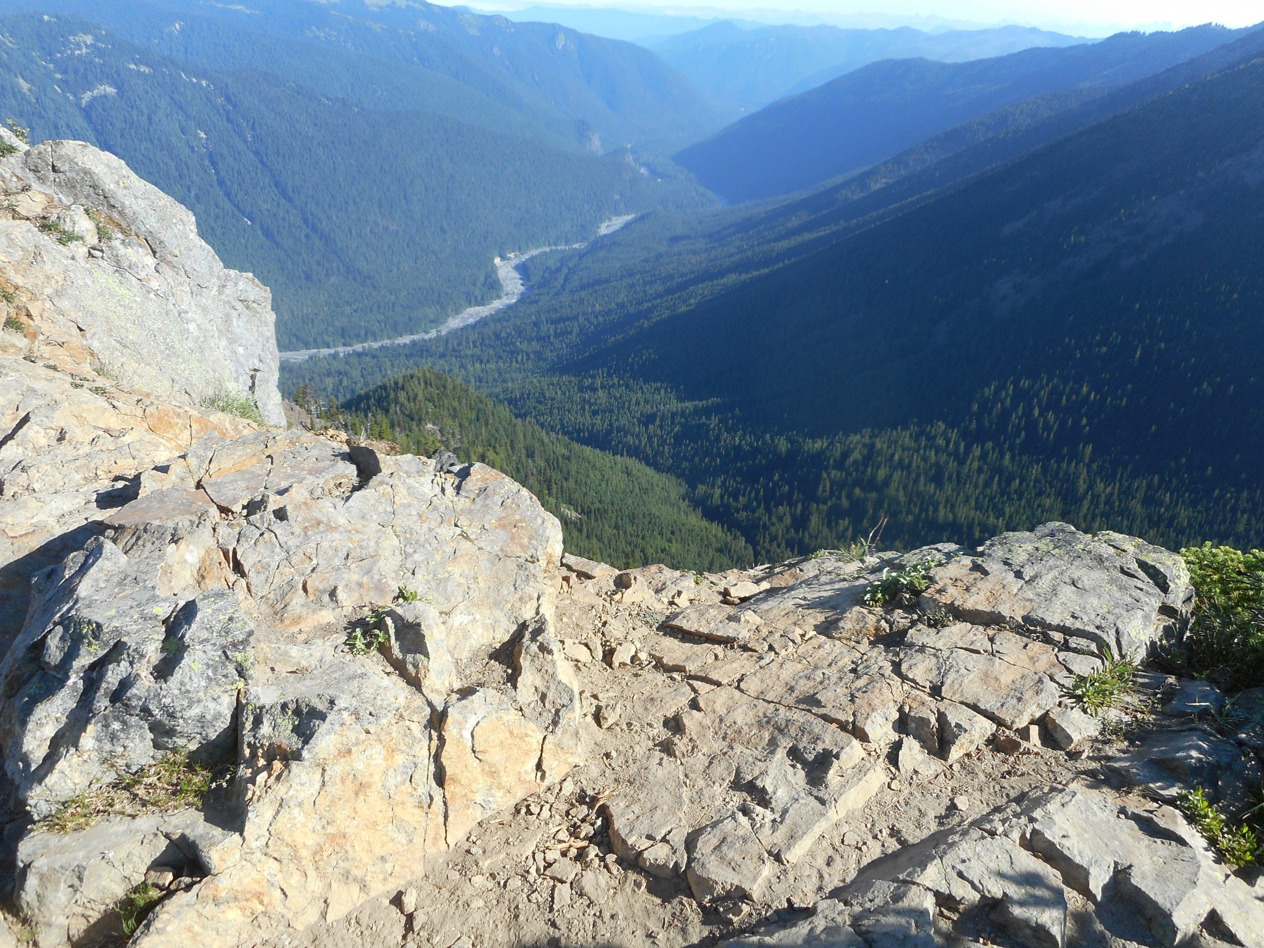
The entire hike is a fairly steady climb. There are a few sections, short, that are flat. And there are a few, also short, that are steeper than average. But overall, it is a steady up, up, up the entire way. That is, until you get within a couple of hundred yards of the summit, and then it is a very steep semi-scramble. The summit itself is a great 360 degree summit, with one side a cliff:
Summit Cliff
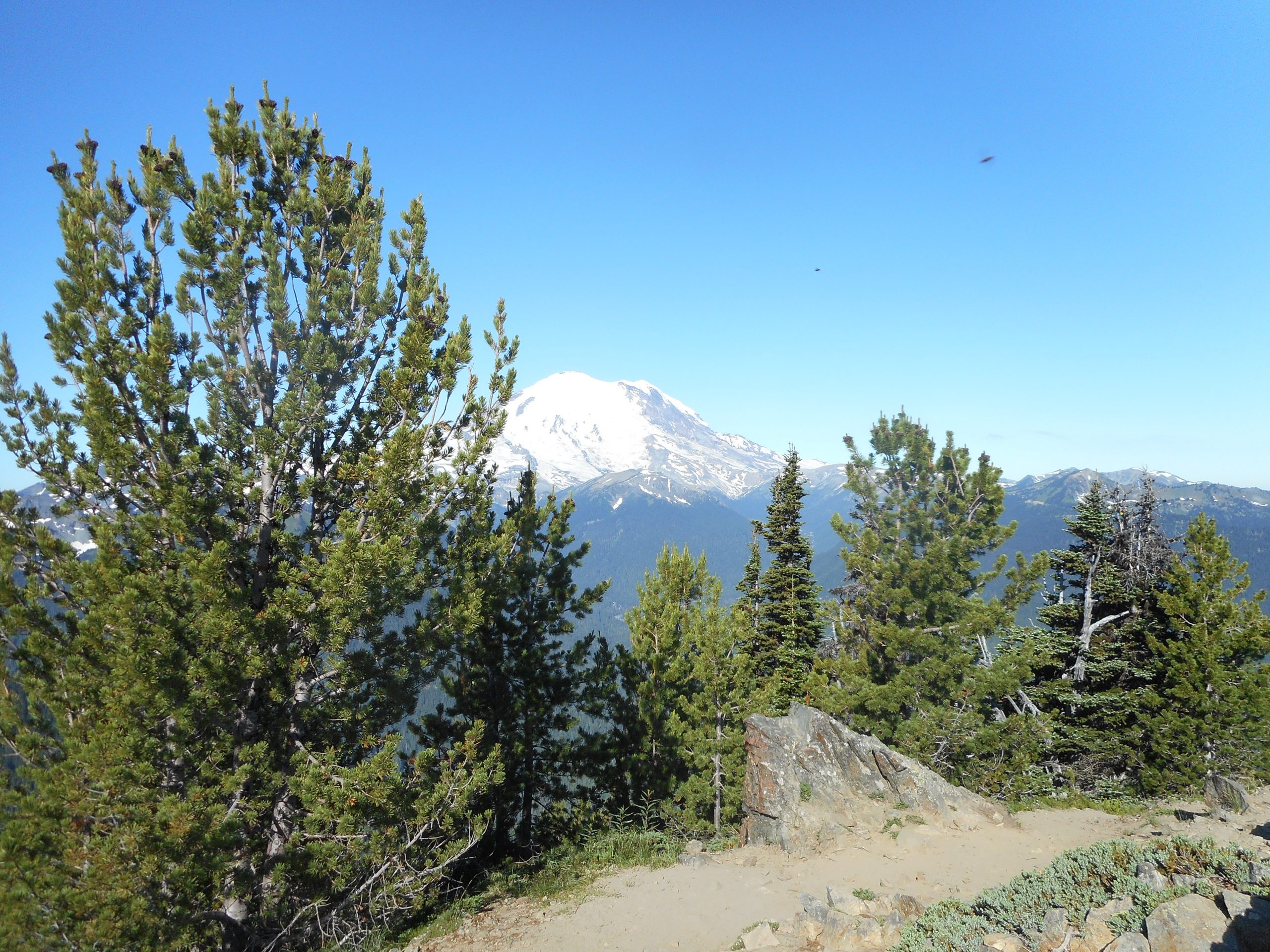
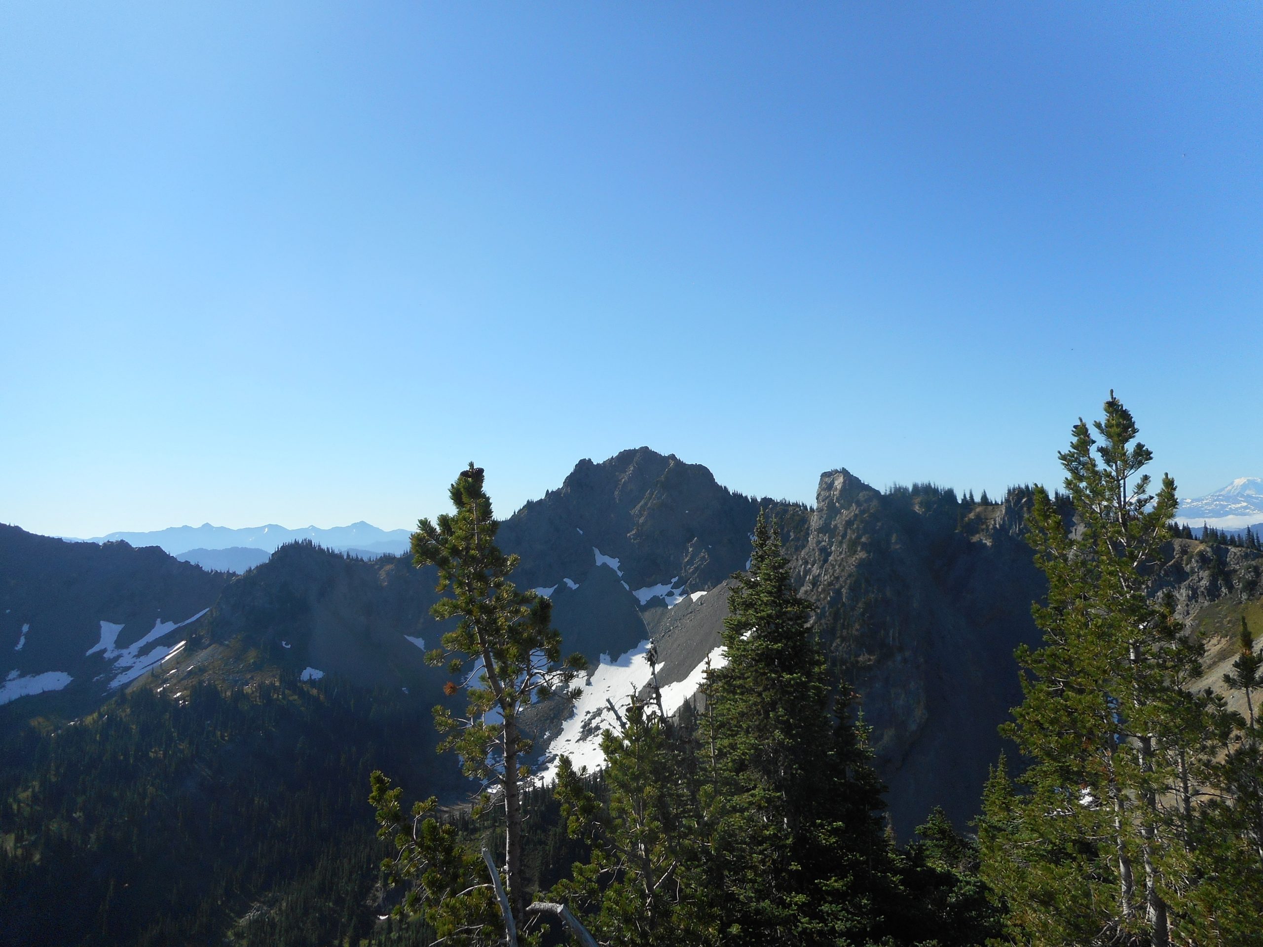
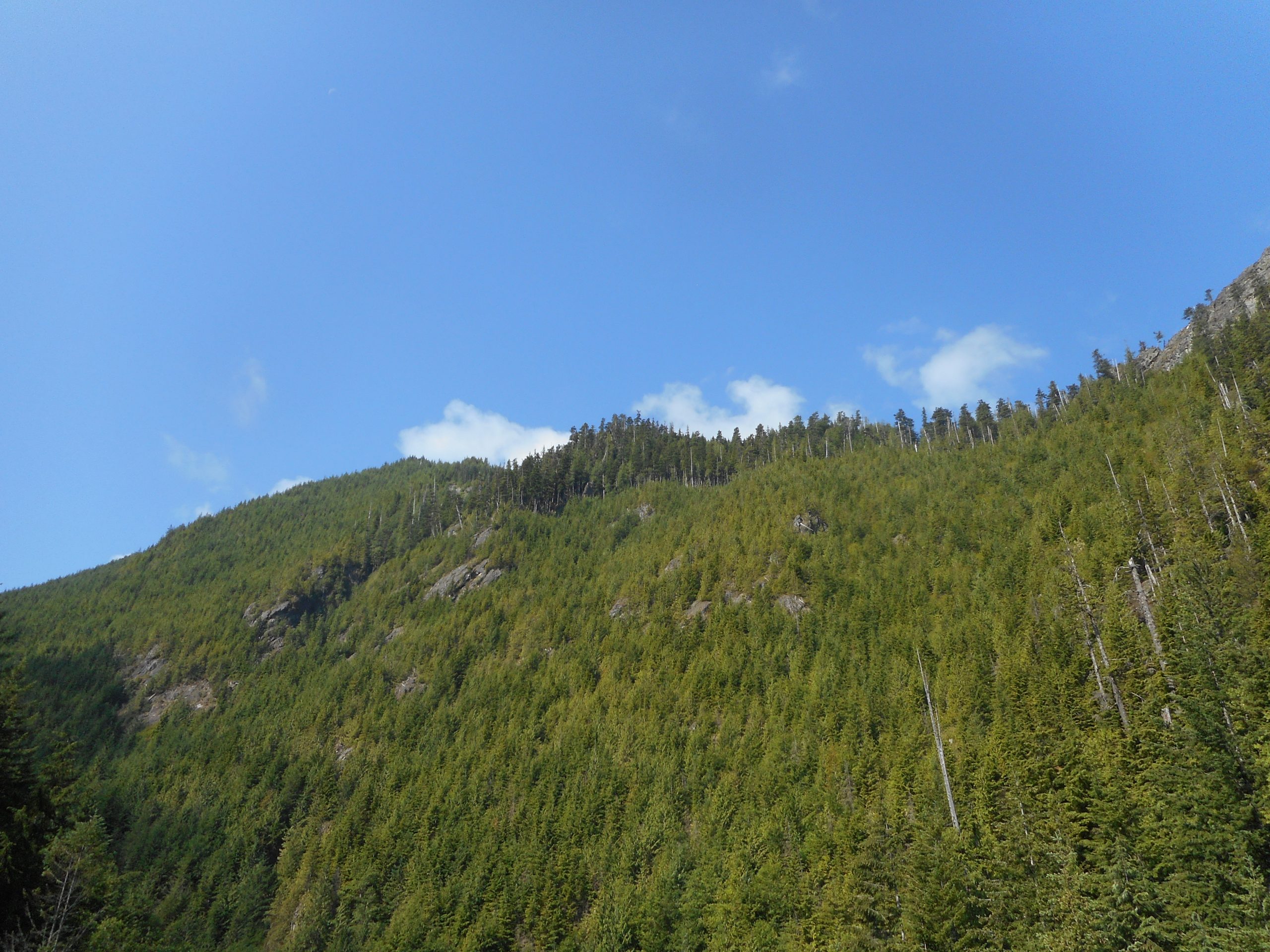
The views from up there are forever:
Summit ViewAlong The Trail
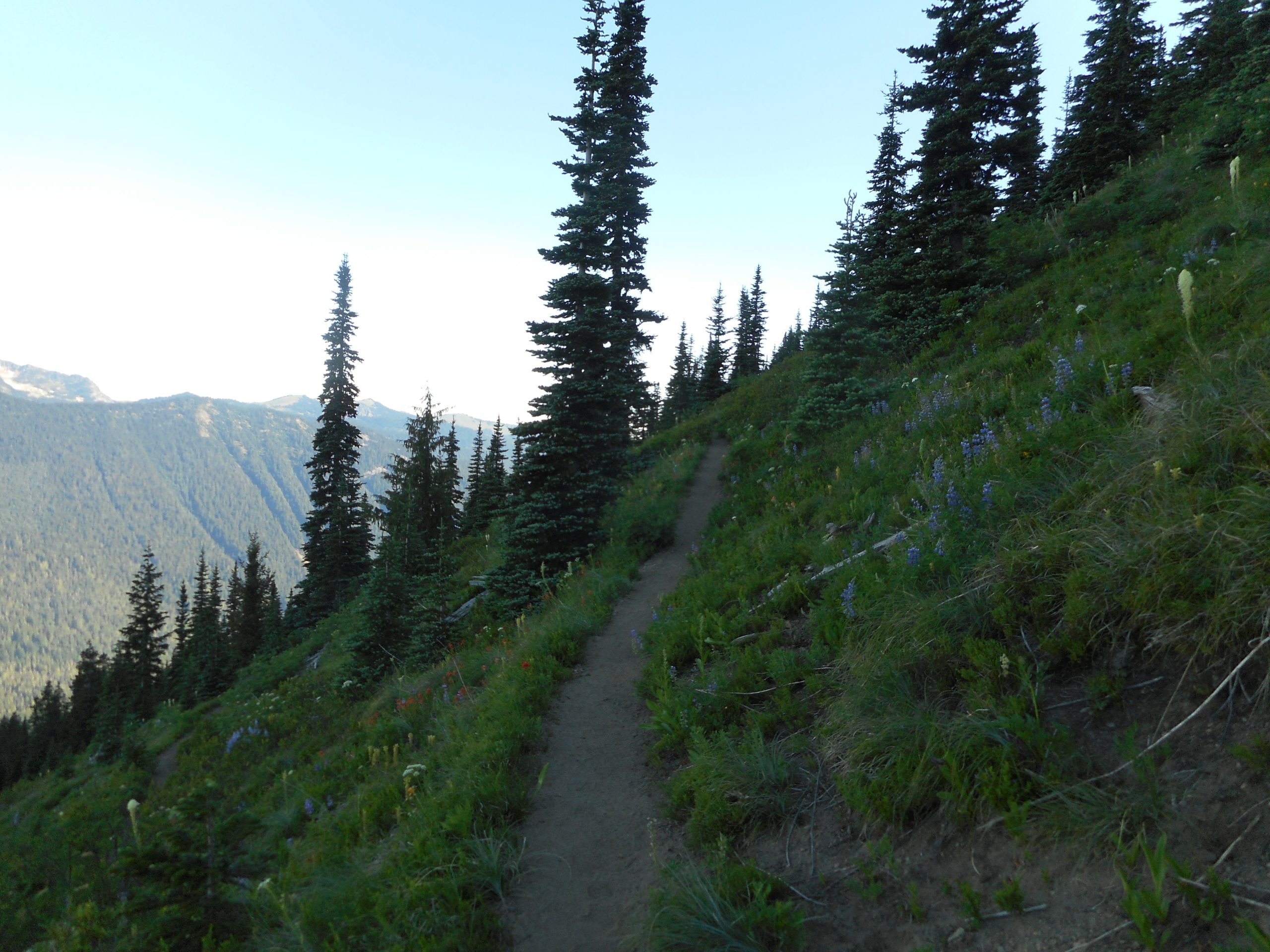
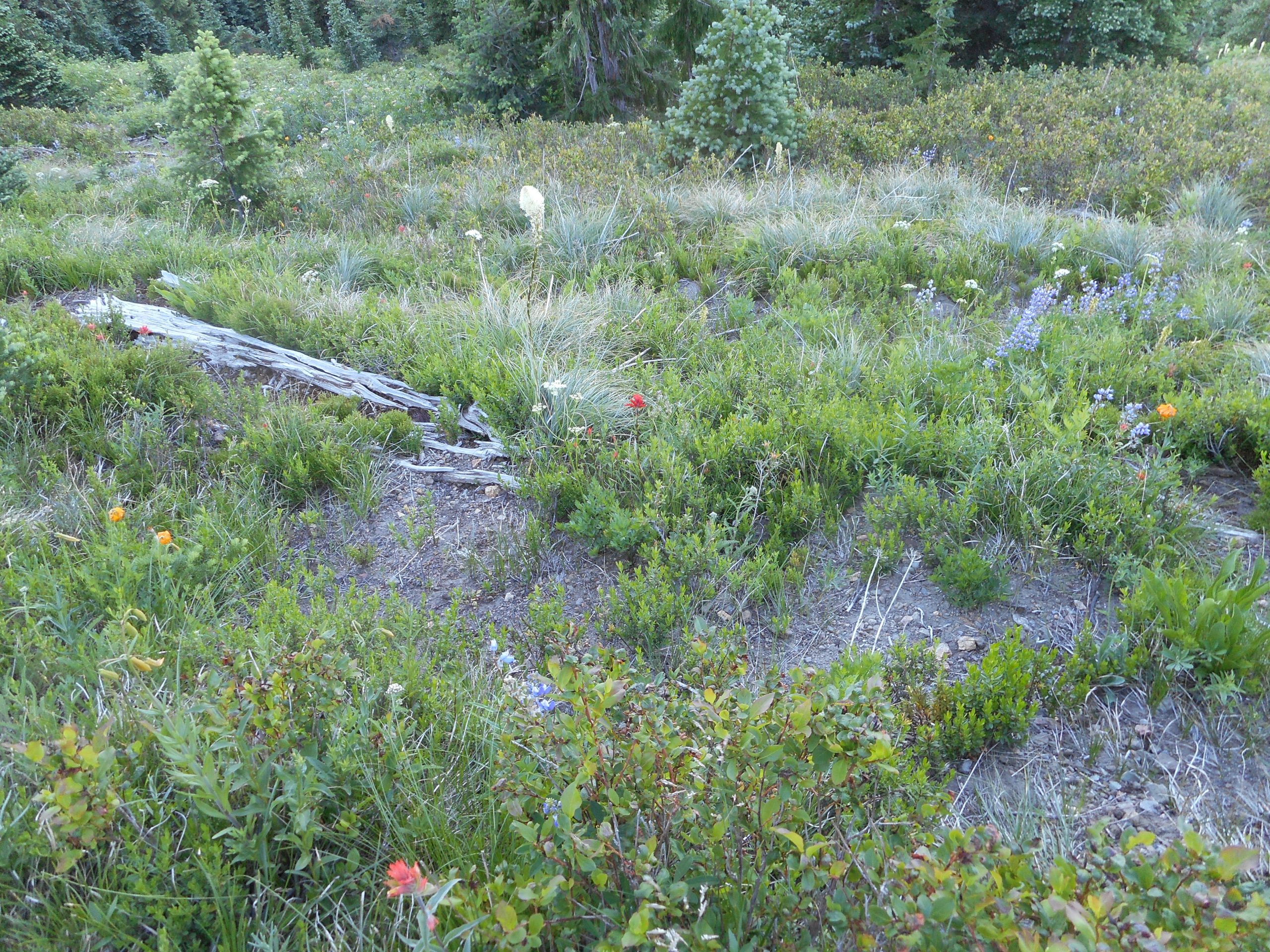
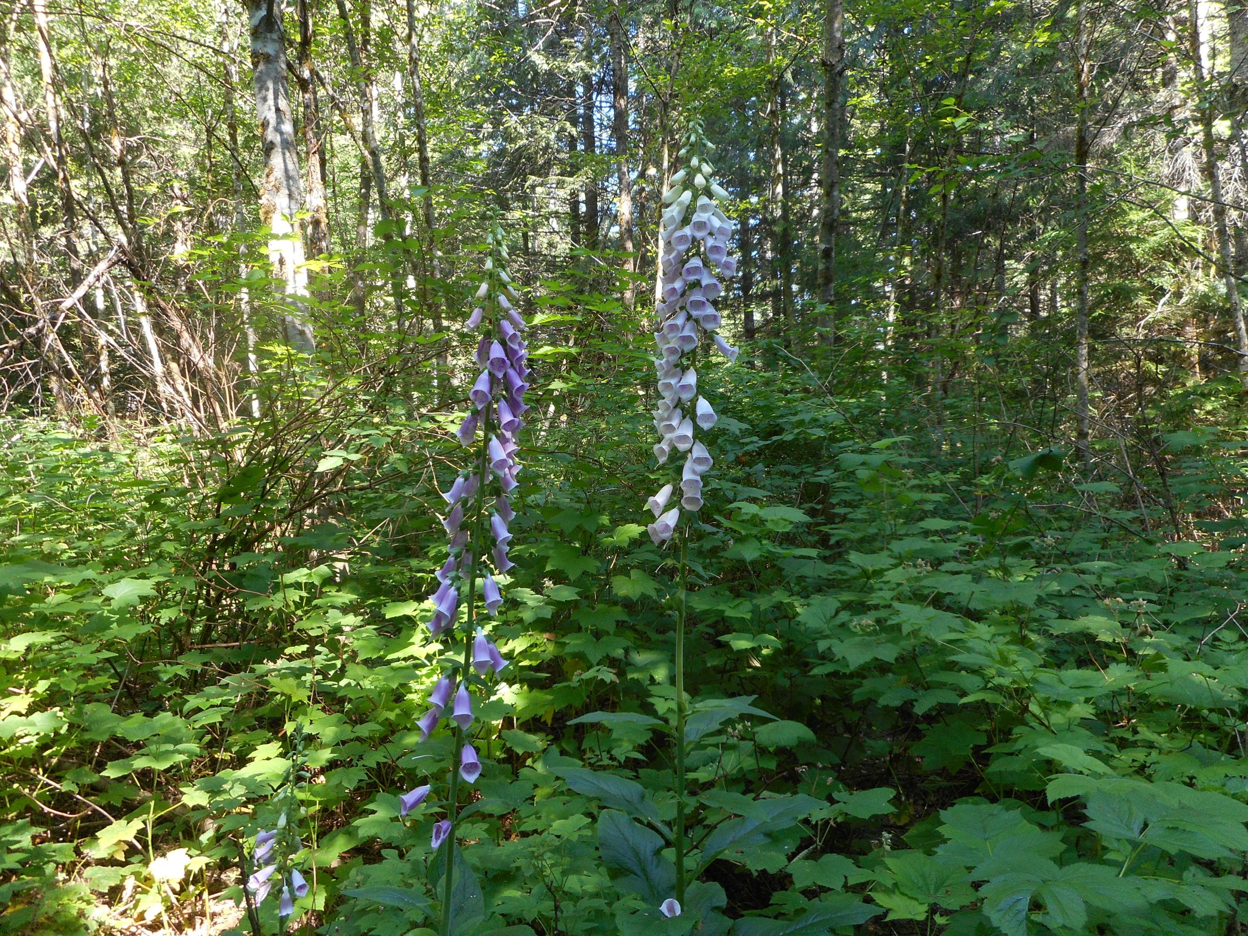
The wildflowers are out in droves lately:
Trail
This is one of the most beautiful hikes I have done and I guarantee I will be back. However, it is about 90 miles from home. I left at 4am, got there by six and spent little time getting geared up. I was back at the car by 10:30, having spent at least 15 minutes on the top.
Perfect weather, I was first up (encountered about a dozen people going up as I was going down) and had the summit to myself. It was never broiling hot; that early, the mountain itself blocks the most intense sun.
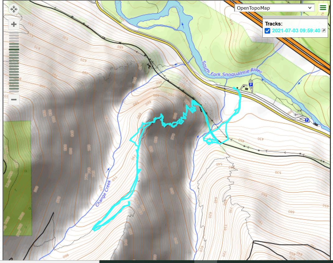
I wanted to do something early and relatively quick, to get up and down before the heat. I hit the trail at about 6:15 and was back to the car by 8:45 – about 4.25 miles, up the Change Creek Trail to J’s Landing and back down. A few weeks ago when I did this trail there were several very nasty blowdowns along the trail but today not much of a problem. Some trail angel got rid of the worst of the blowdowns. Many thanks whoever you are.
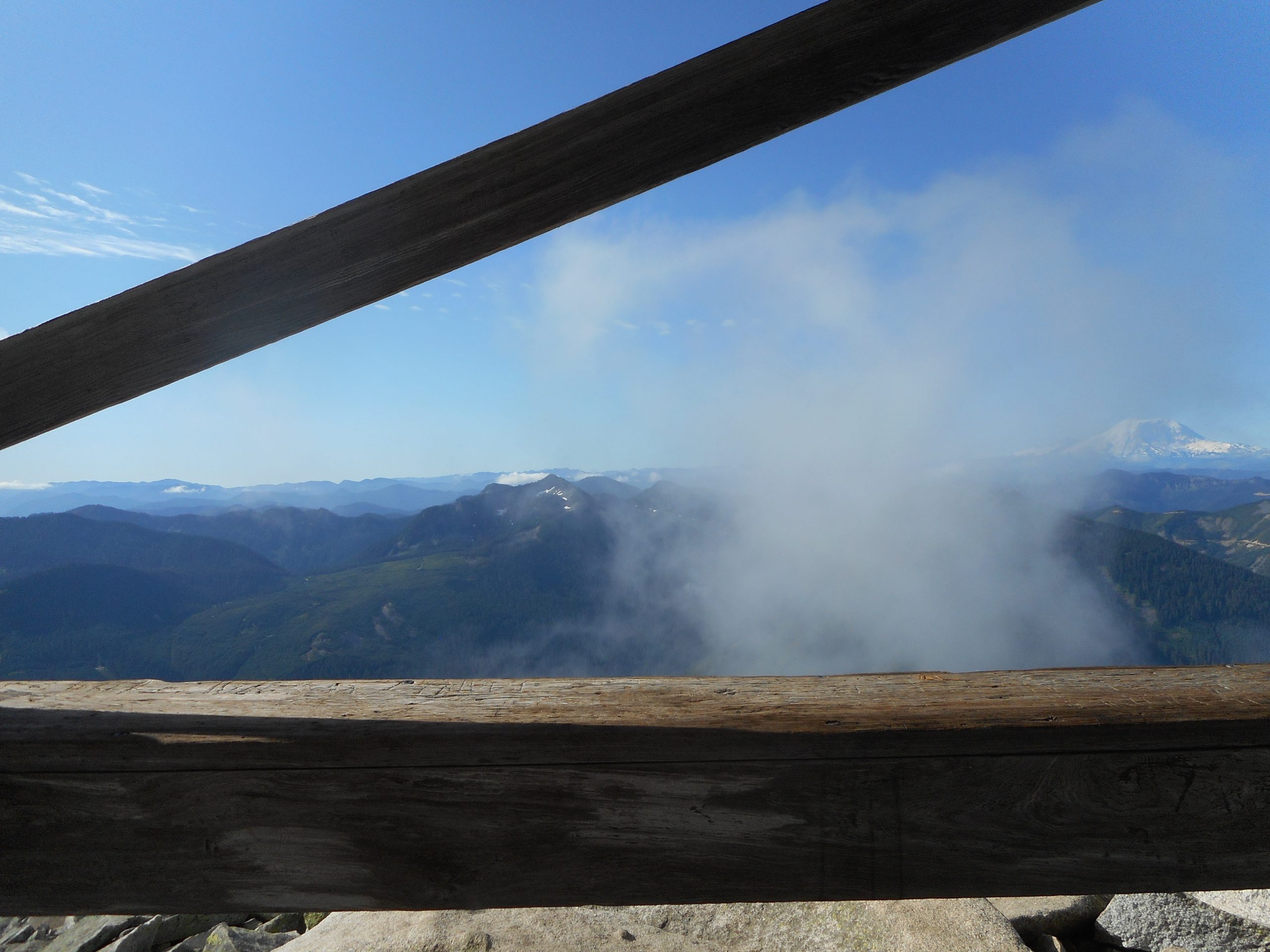
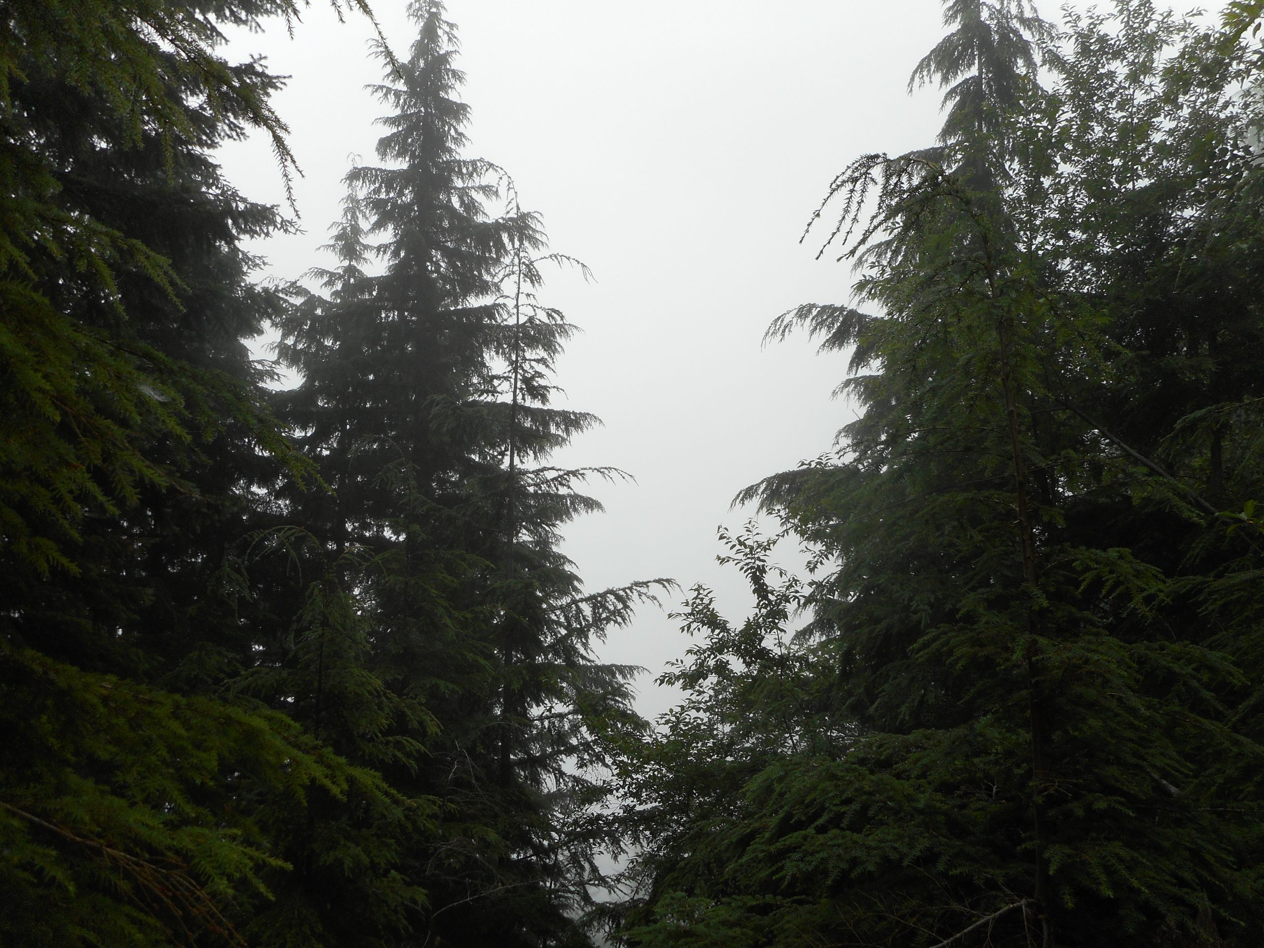
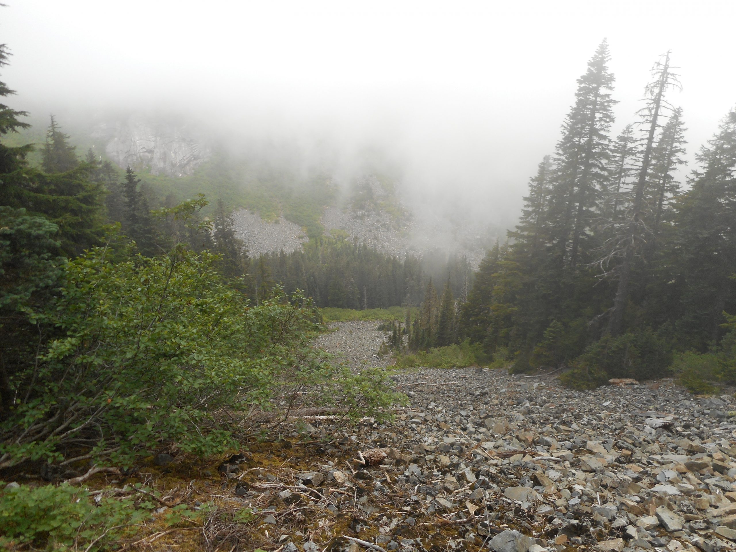
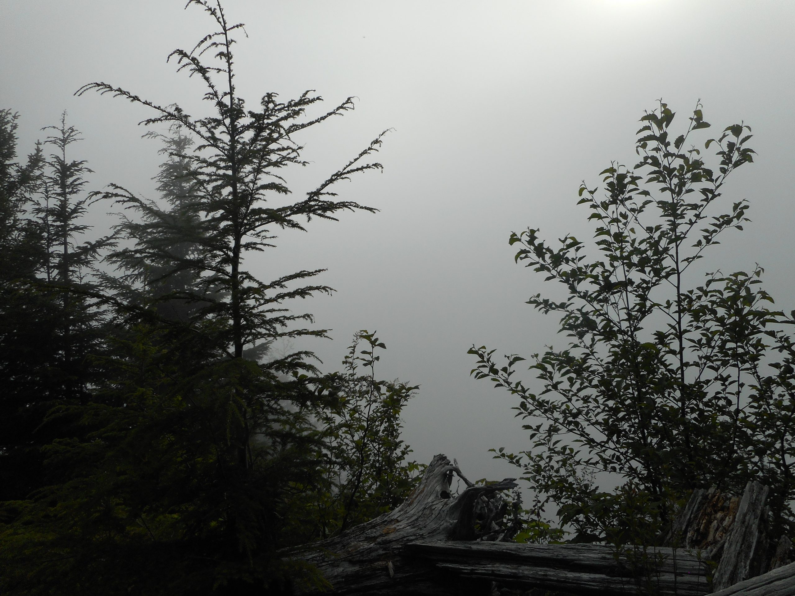
The way up was relatively cool, as the clouds were blocking the sun. They were low; I was in them at J’s:
In The Clouds
Nevertheless, this trail is enough of a workout that I totally soaked a sweat band going up.
A nice workout. My overnight camping trip has been moved to August 5, a hike on Thursday, camp at Lake Easton State Park, and then a hike on Friday. Should be awesome. I am thinking that Friday will be Kendall Katwalk but I am undecided on Thursday. Somewhere around Exit 85, I think.