J’s Landing 10/2/2021

North/East from J’s Landing

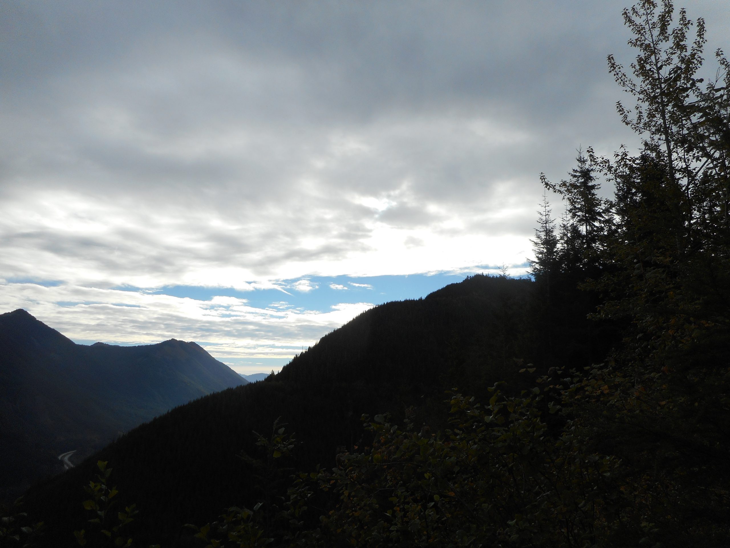
The hike today was only 4.3 miles, compared to 8 miles on Tuesday, but the hike to J’s Landing (and I hit Hall Point on the way down) is much tougher because the section from PTC Trail to Hall Point spur is very steep. It is a grind for anyone, let alone an old guy like me.

But it is a super workout with terrific views. I saw exactly one person on the trail and, on the PTC going back down, four rock climbers in two teams of two. For sure, rock climbers are completely focused on what they are doing. It is interesting to watch. I took no photos because I feared that the click of the camera might be distracting. They were all roped up but still, you can see they would really rather not fall off the rock.

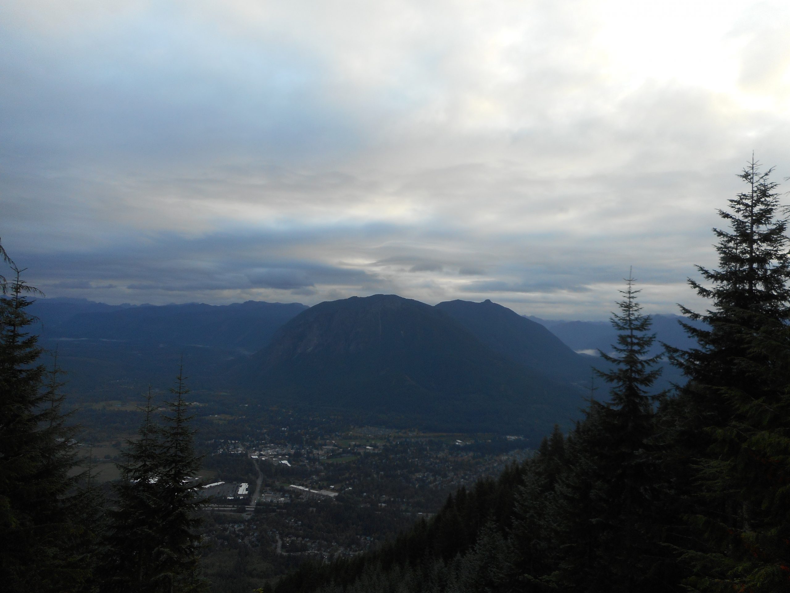
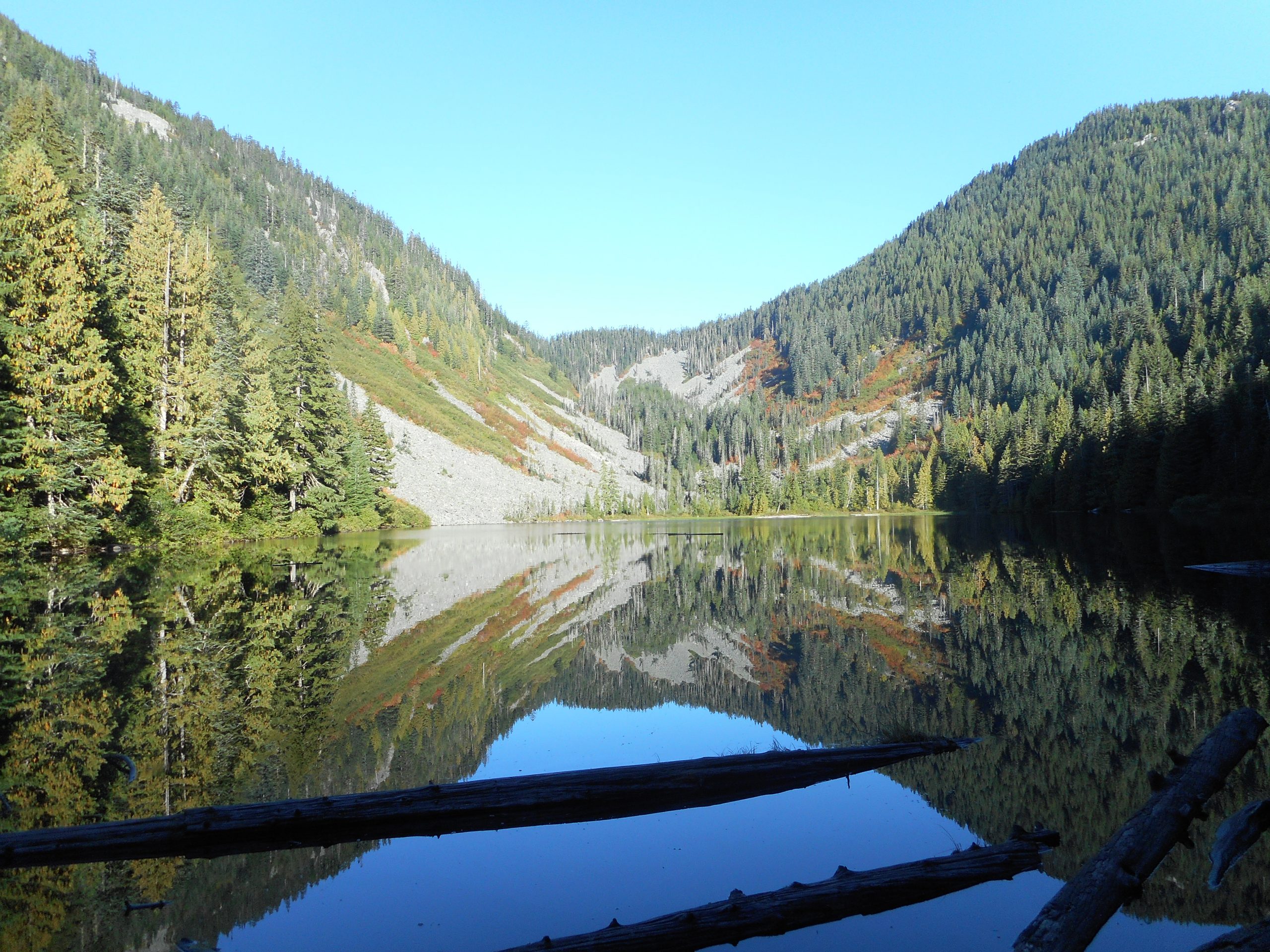
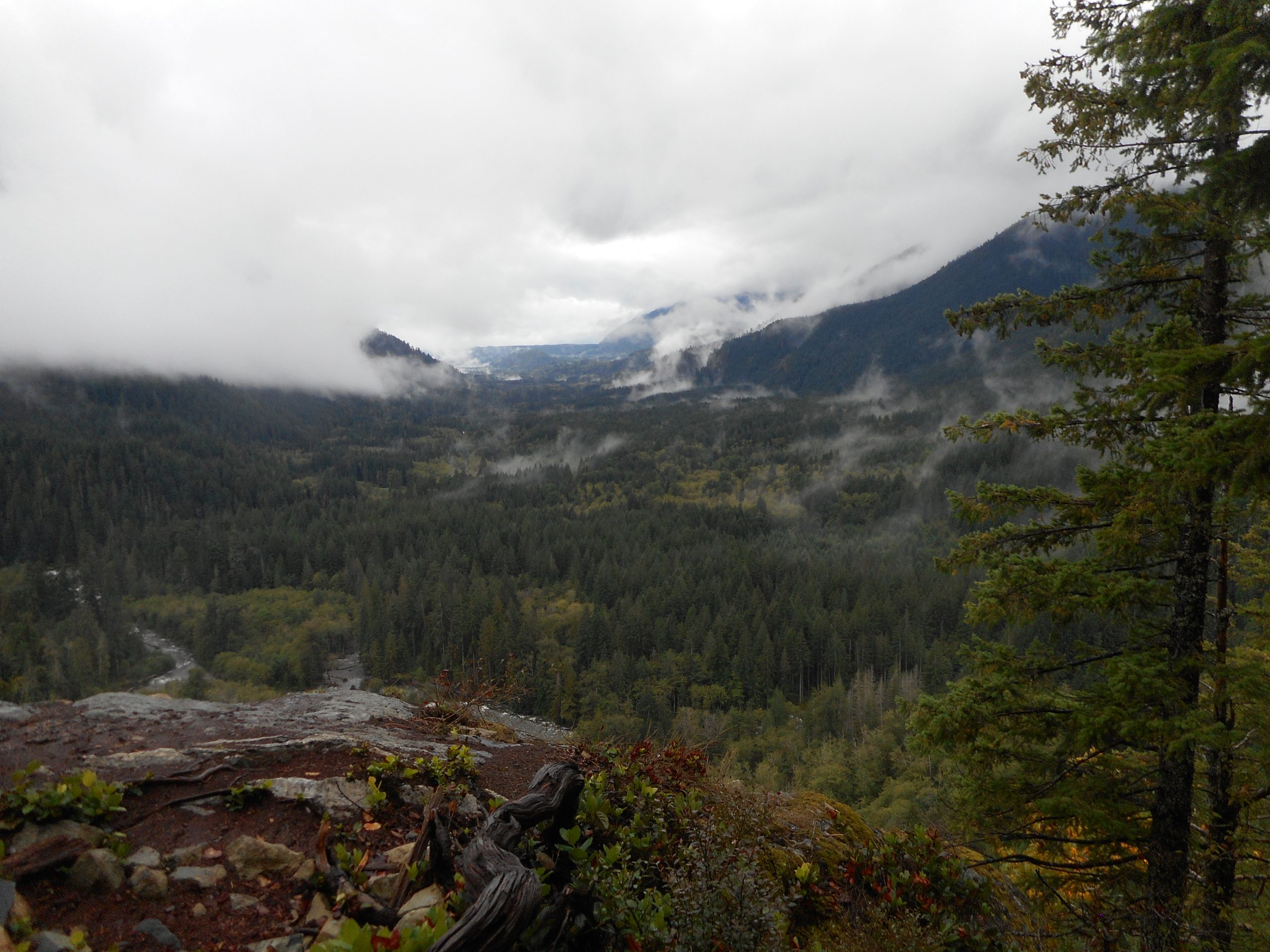
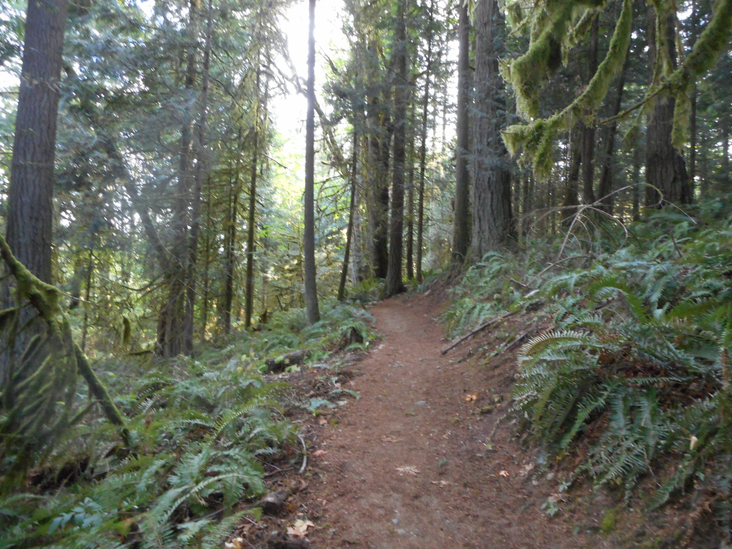
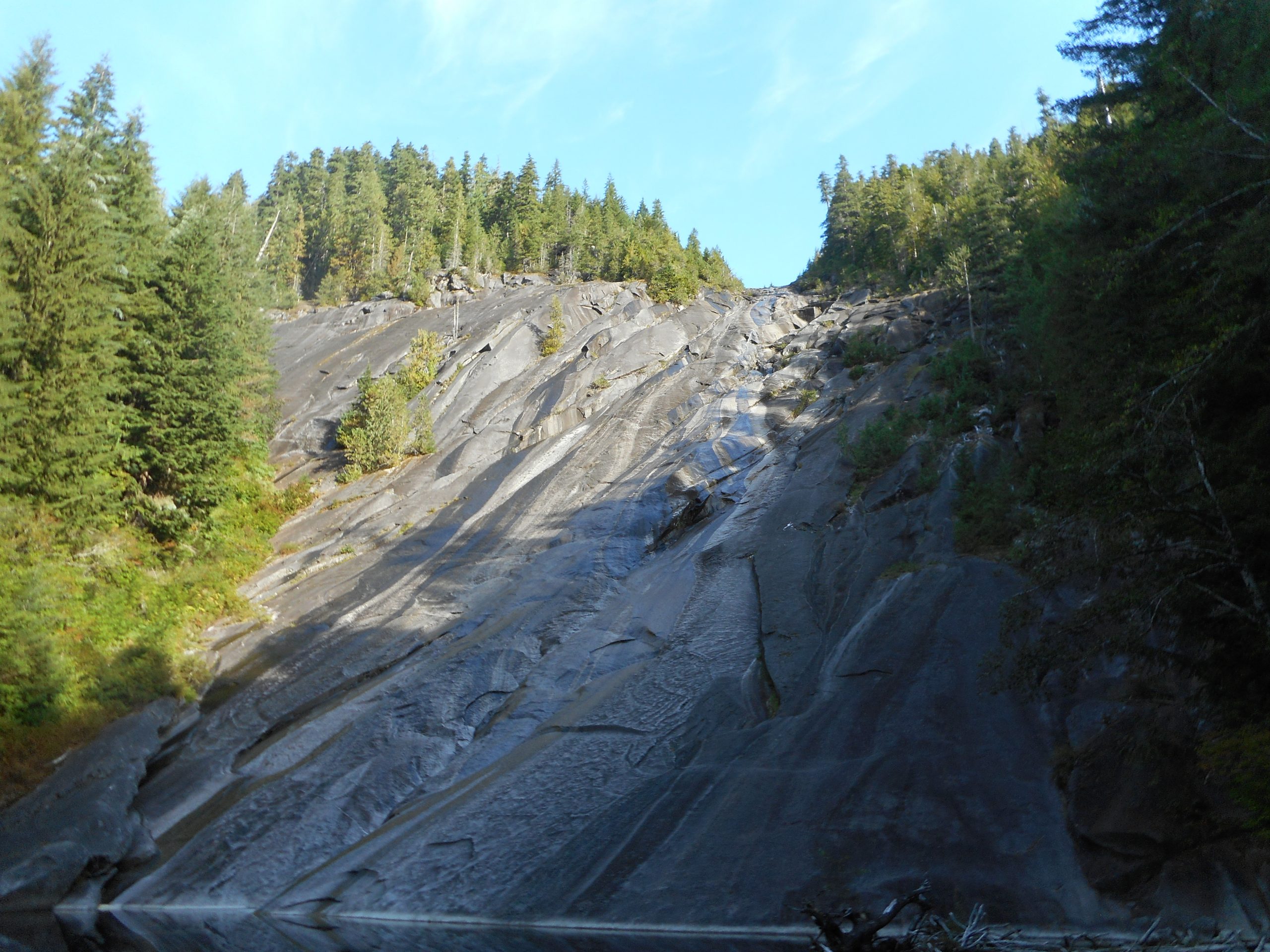
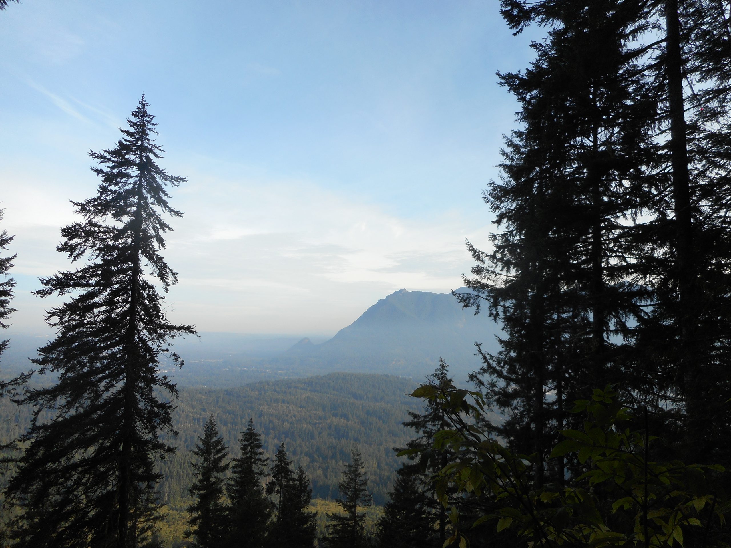
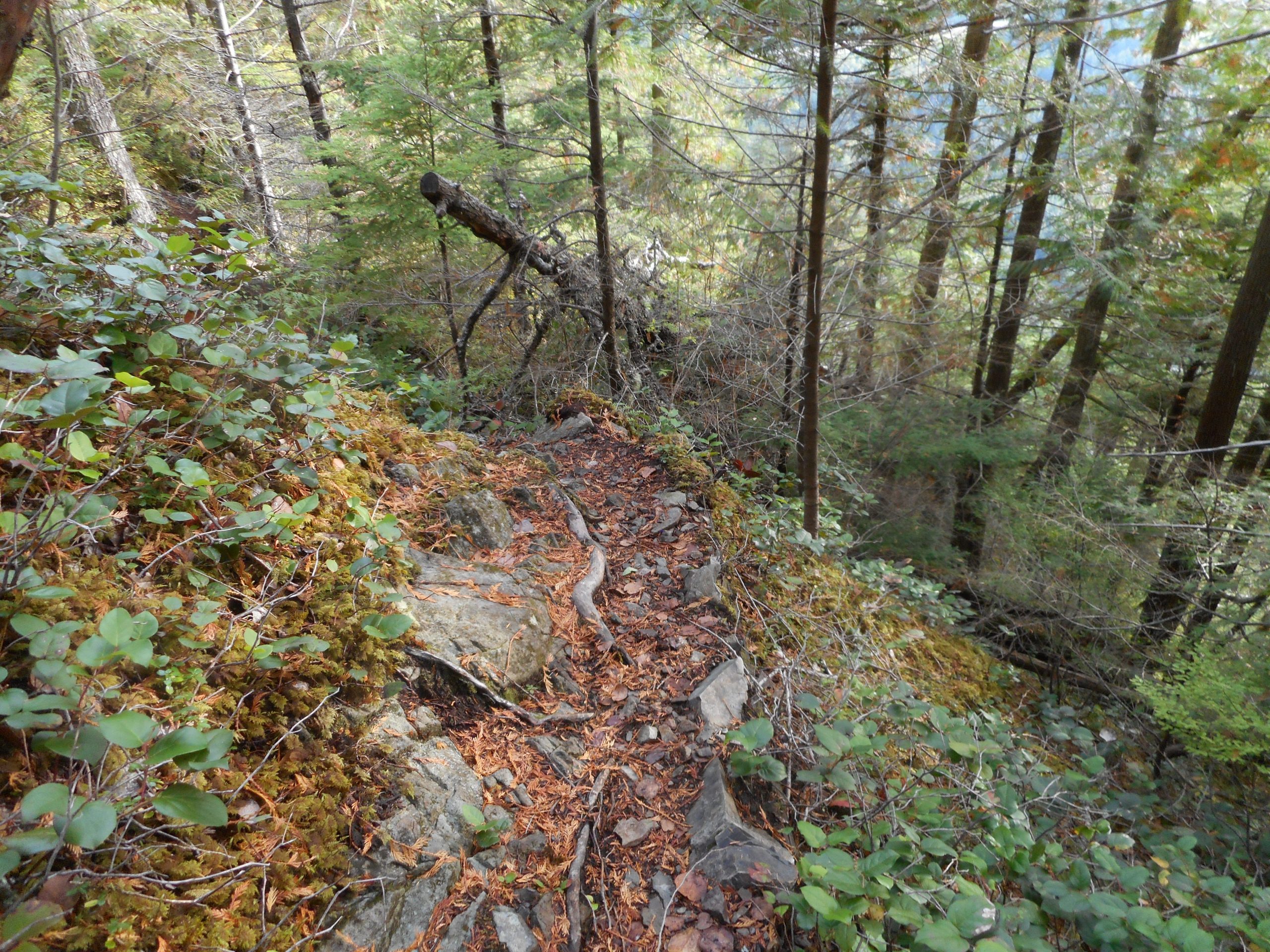
This section of trail is typical of the trail I was on – the Change Creek Trail – but in the photo it looks really benign. In fact, it is a narrow trail on the edge of a very steep drop off. Not quite a cliff, but if you went over head-first, you might not get up:

Steep and Narrow

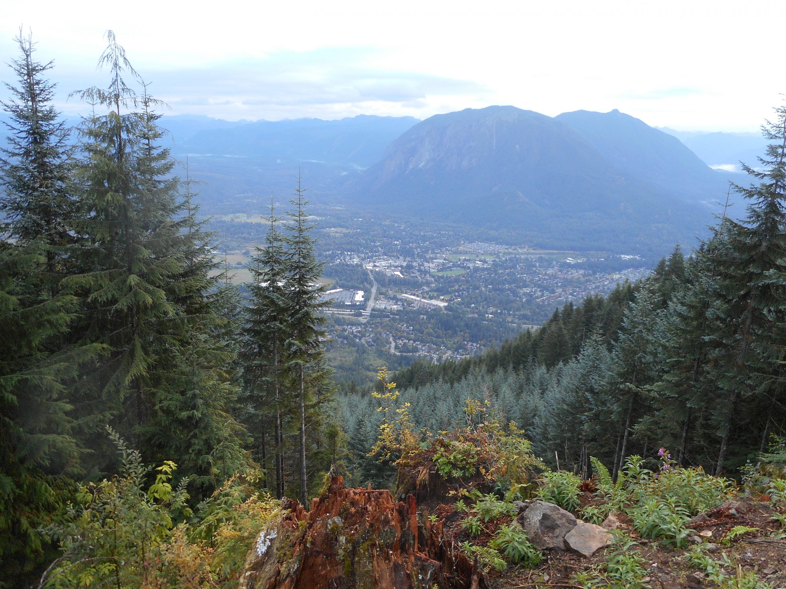
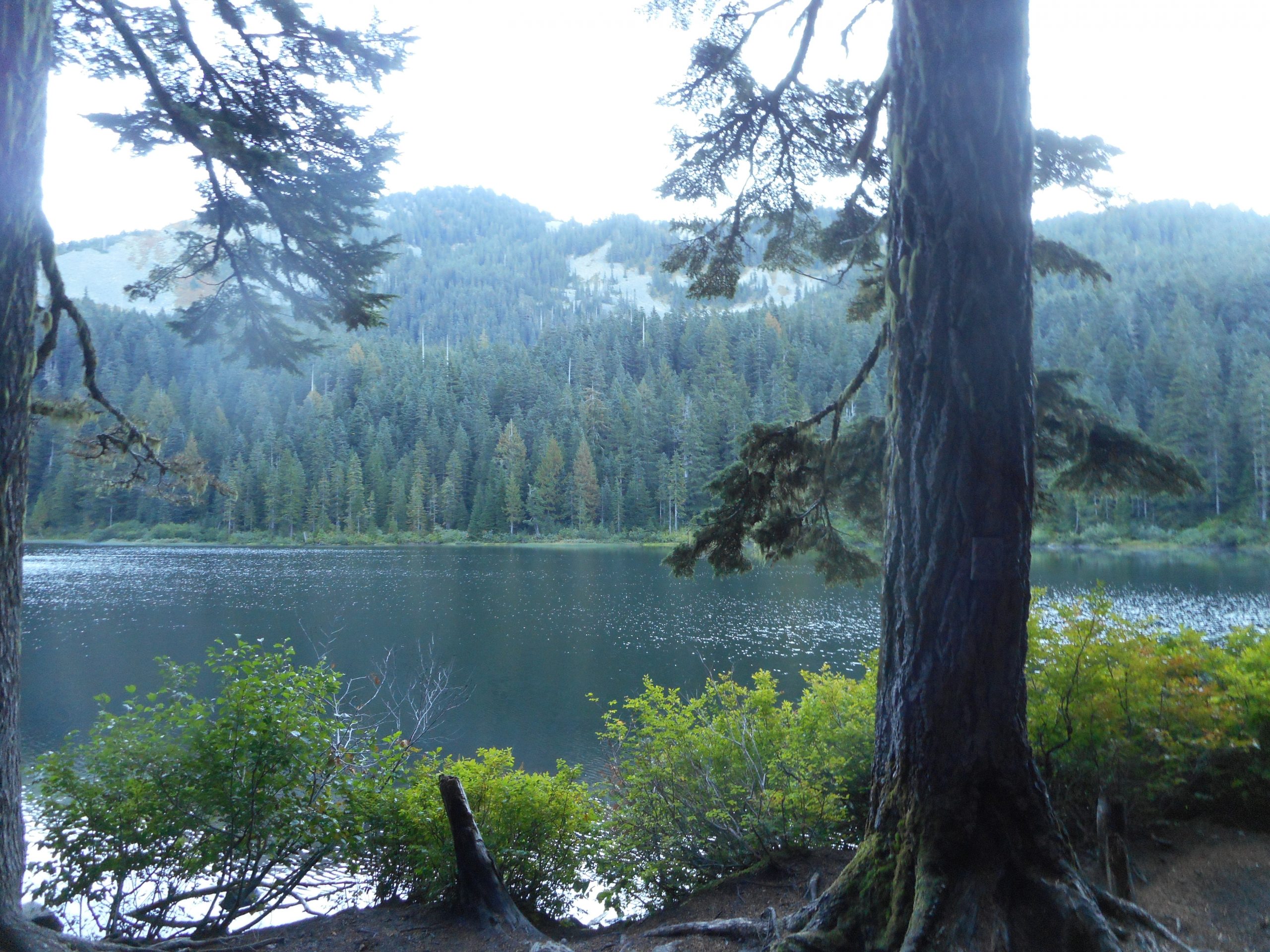
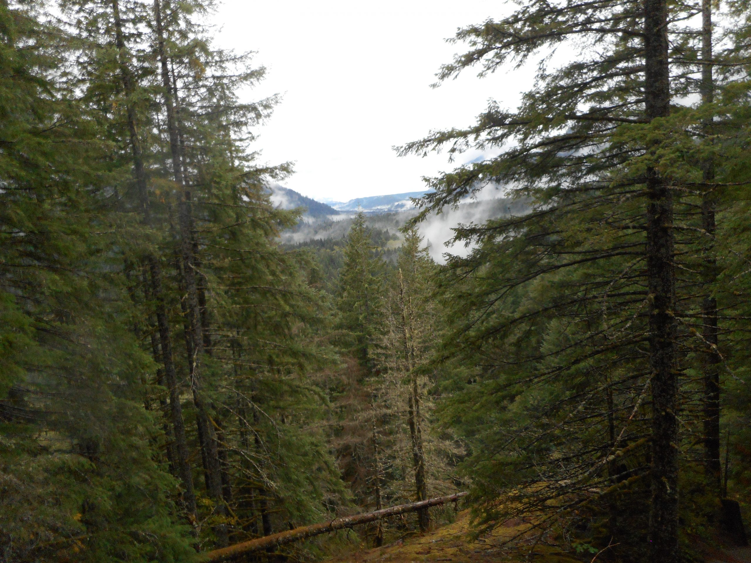
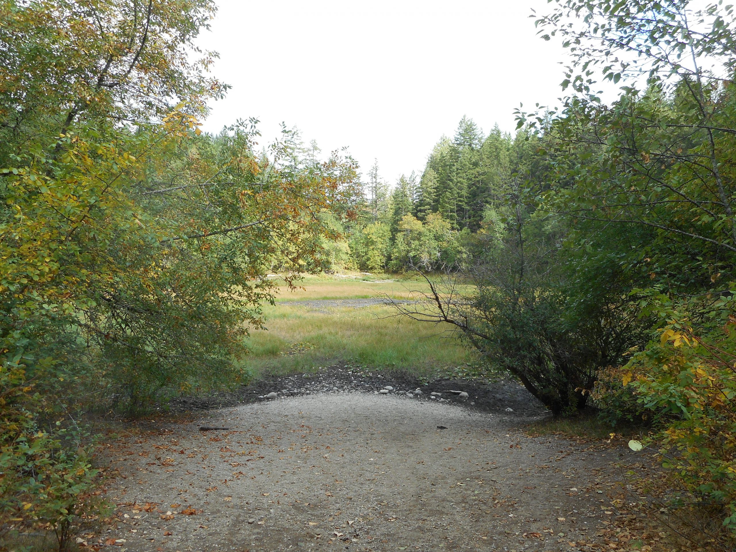
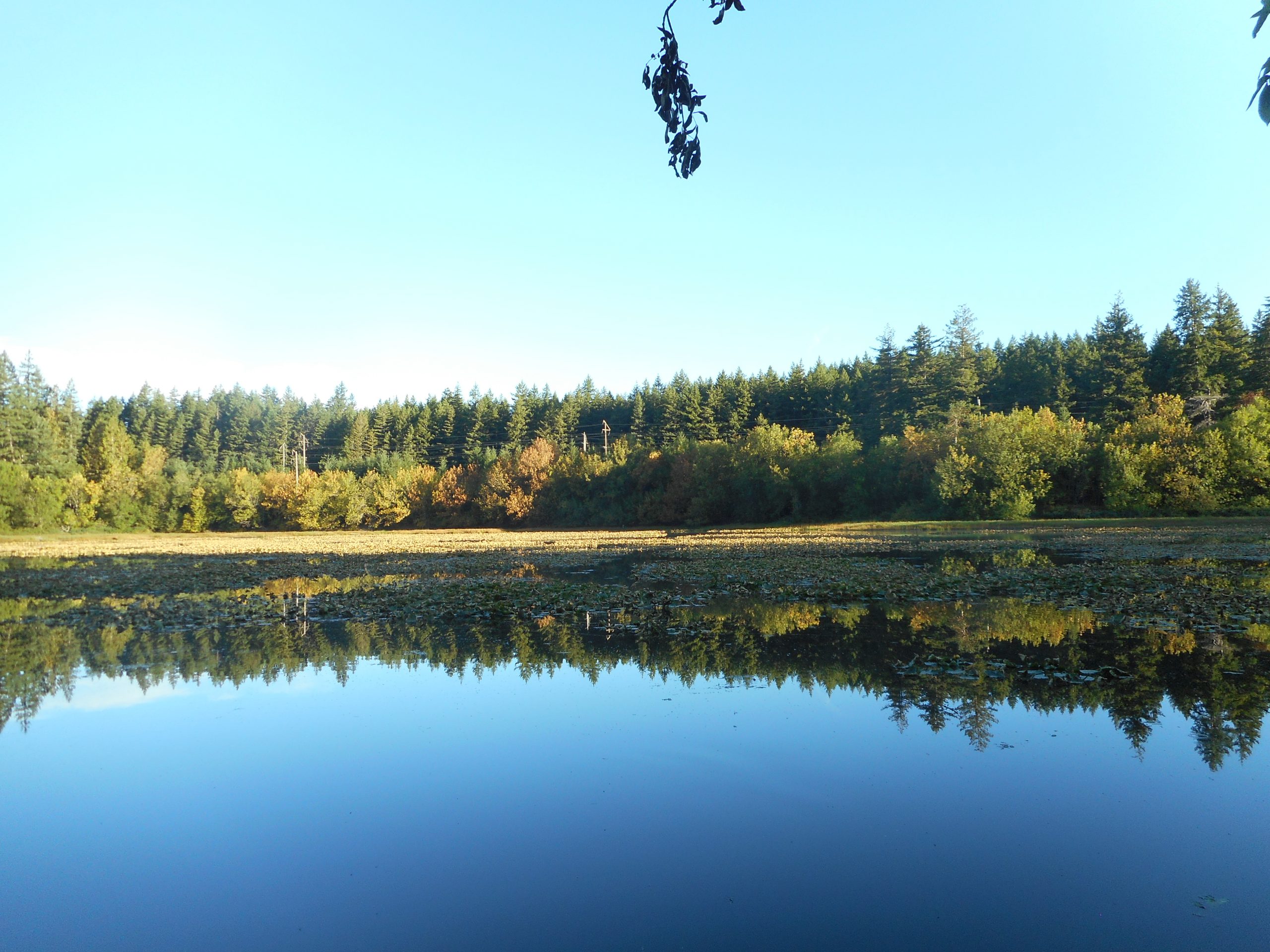
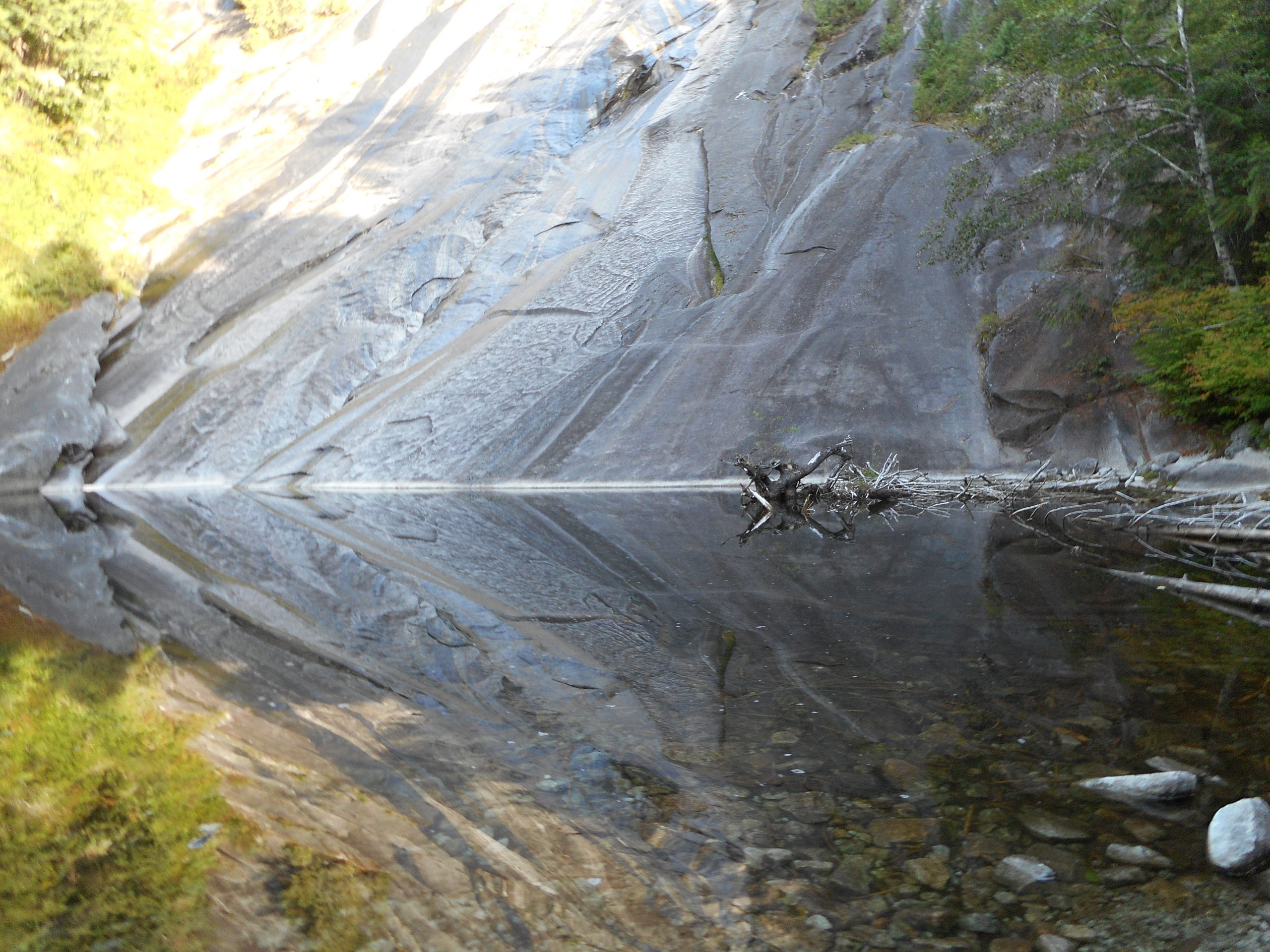
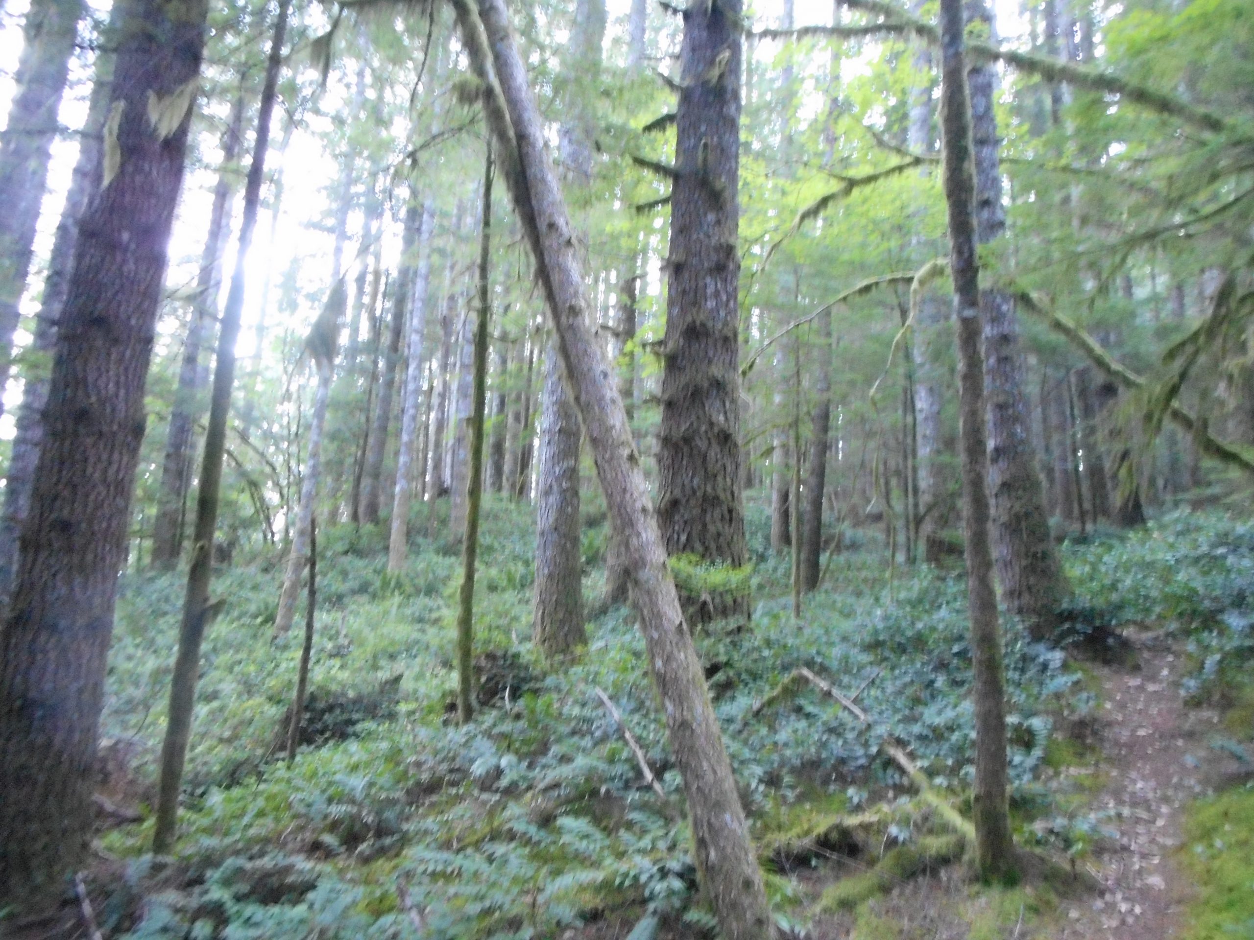
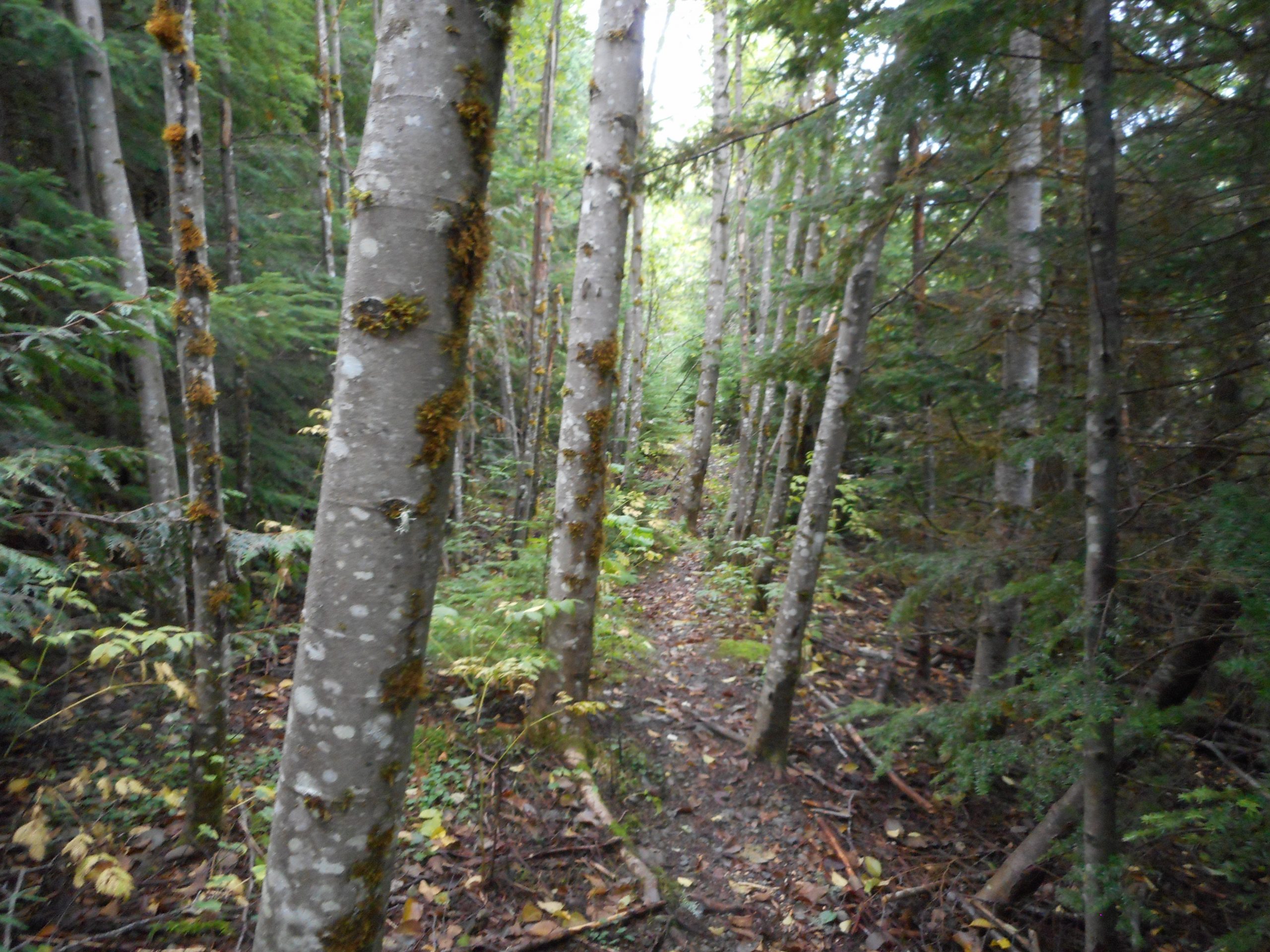
Other sections of this trail are mellow:
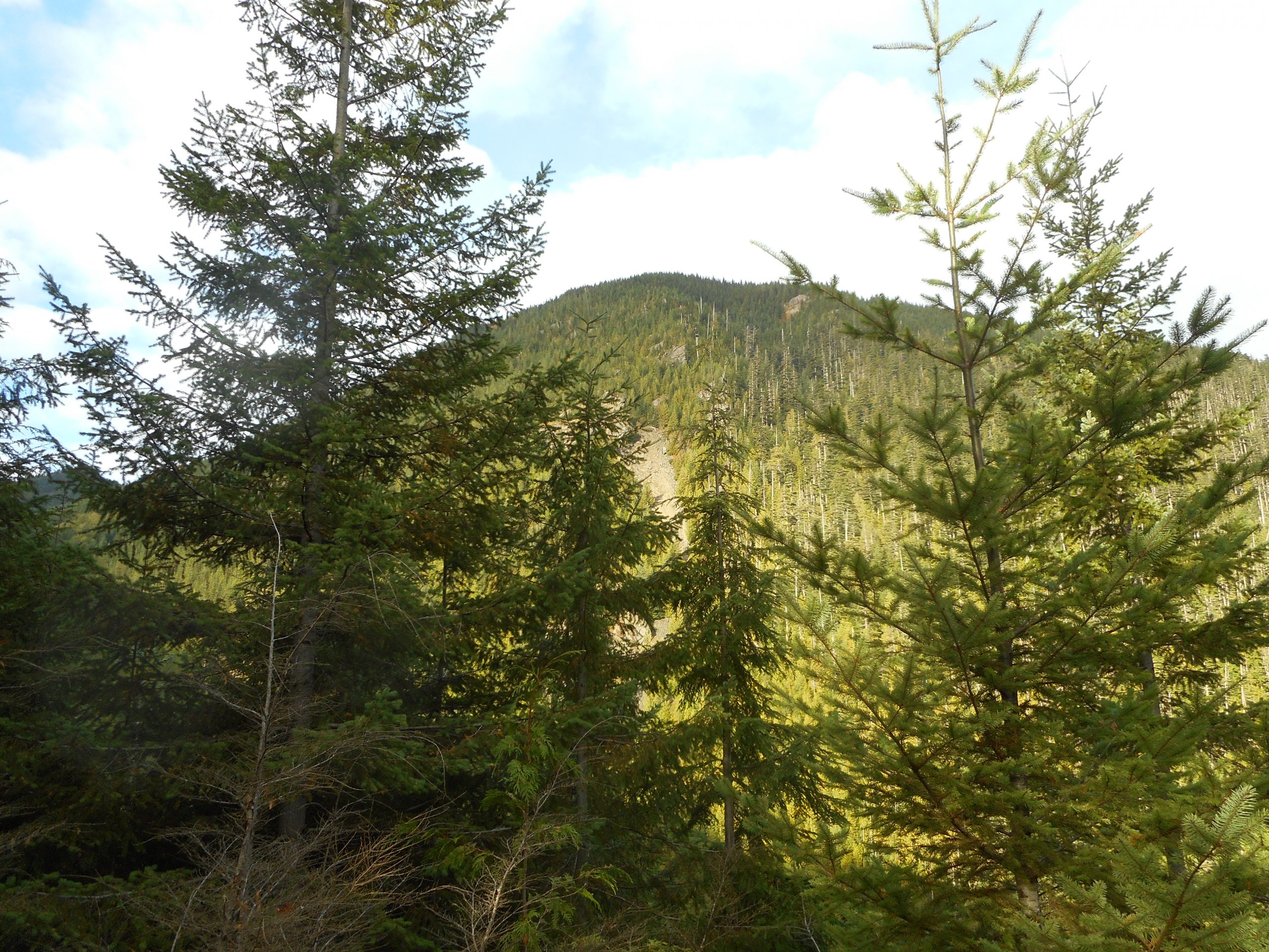
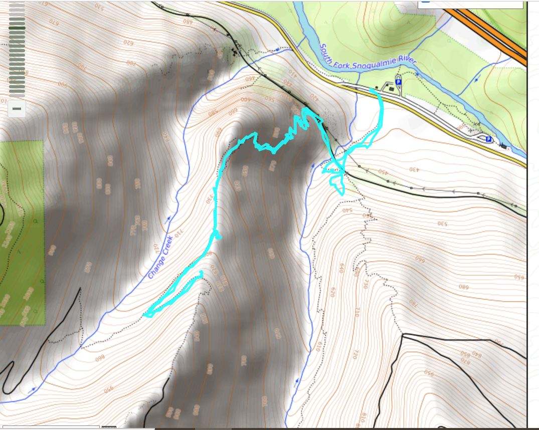
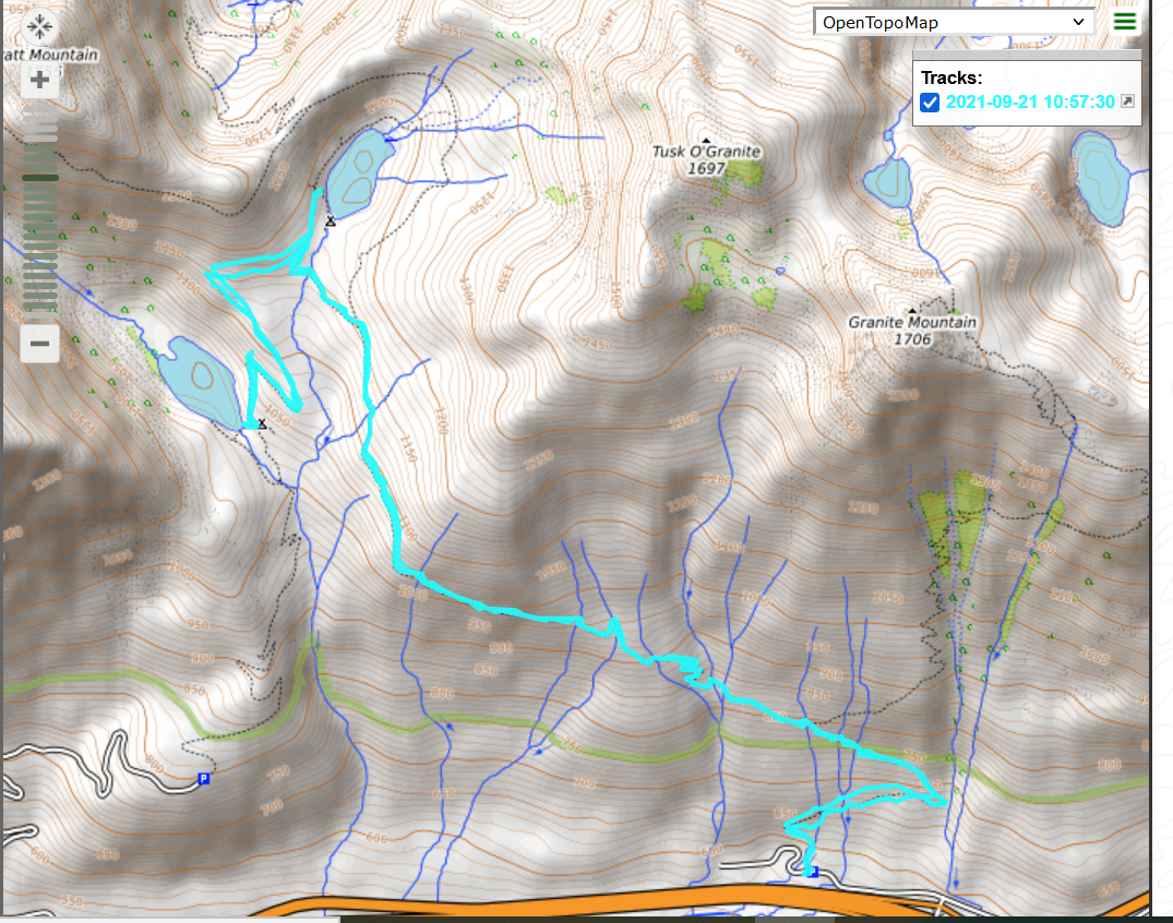
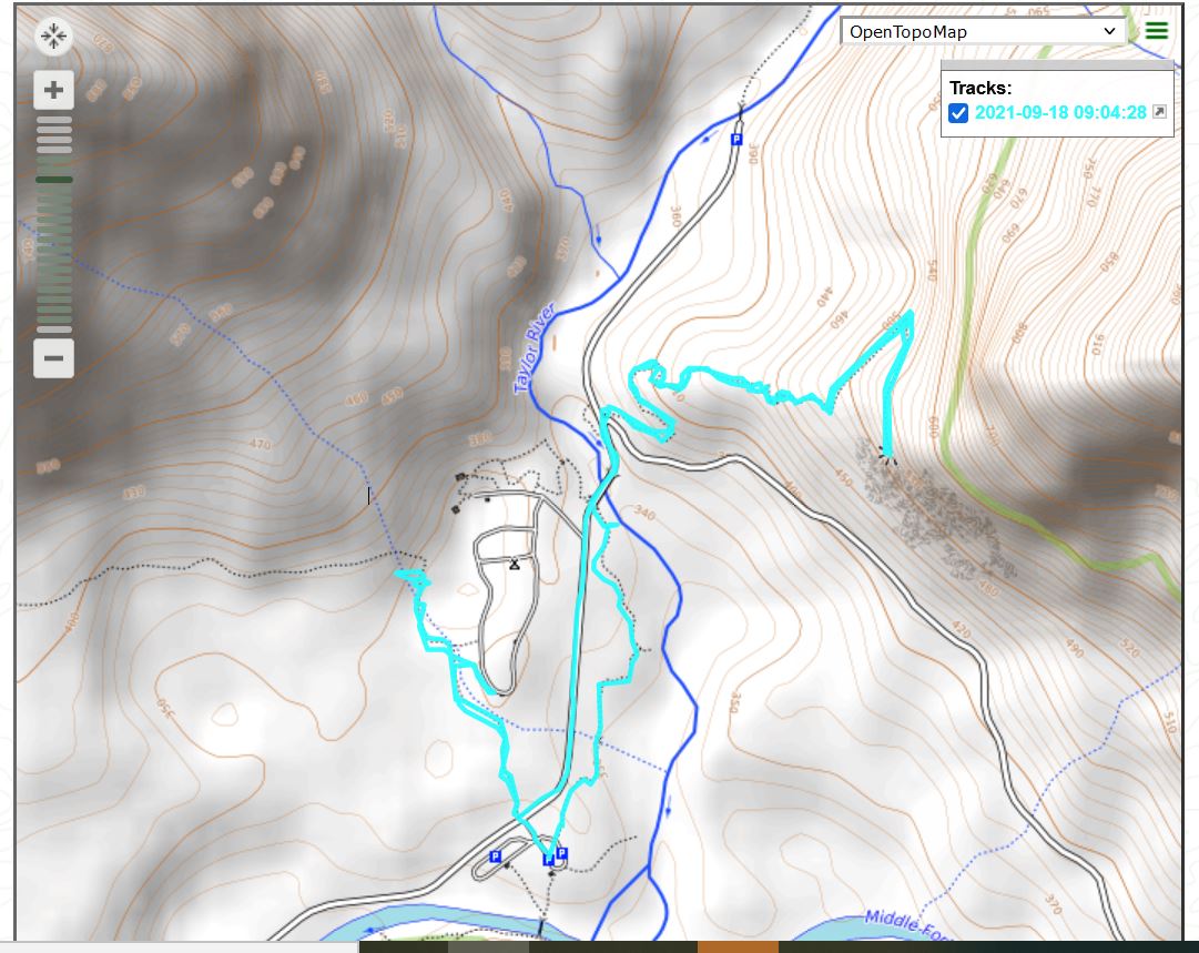
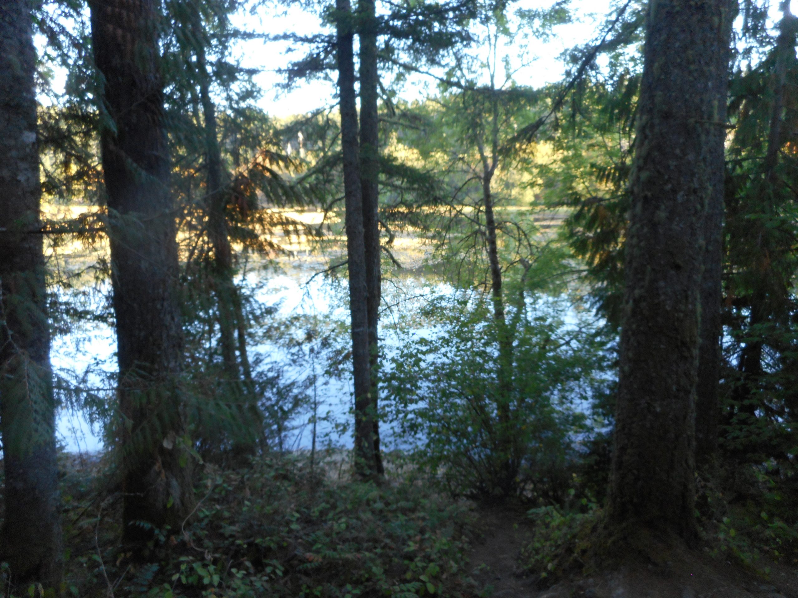
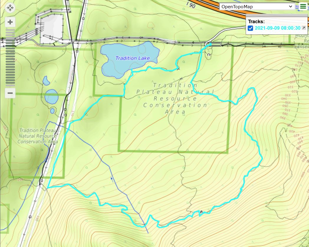
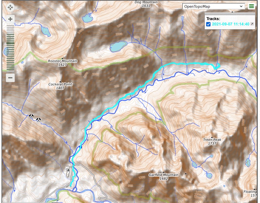
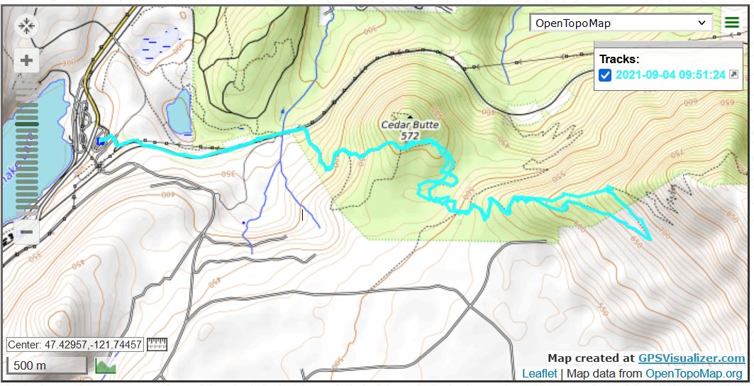
The Back Country
Looking Up at Change Peak

The track:

Track

Grand Prospect 9/29/2021

View From Grand Prospect

The name ‘Grand Prospect’ does sound rather grand but it is just a view point on the west/middle/north side of Rattlesnake Mountain. Starting from the Snoqualmie Point lot it is 4 miles up to Grand Prospect, and half of that is almost totally within a beautiful 2nd growth forest. This is one of my favorite hikes.

I started up the trail this morning about 5:45 am, headlamp time again. Now that the sun is coming up later and later, I was on the trail for more than an hour before I was able to safely remove the headlamp. But that’s OK, it is kind of spooky being in the forest in the dark.

However, on the way down, I startled a huge buck elk that had been standing on the trail. Fortunately, rather than being angry at the pathetic trespassing human the elk was properly disgusted. He took off running. And I am glad he did.

I only saw a very few people the entire time.

The view above is interesting and if you move the camera down you get a great view of the I-90 Exit 31 roundabout (have to look carefully):

North Bend/Exit 31

All in all a very fun morning and a great workout.

Section Line 9/26/2021

Tradition Lake

No big deal, another conditioning hike on Tiger Mountain. I was feeling a little sick on Saturday due to my having gotten my Pfizer/Covid booster shot on Friday. Sunday was a bit drizzly but I was able to get out early enough that I escaped the rain. As soon as I fired up my car’s engine the drops started. Sometimes you get lucky.

This week is starting out wet, I’ll play it by ear.

Talapus/Olallie Lakes 9/21/2021

Talapus Lake

There sure are a lot of lakes in the Alpine Lakes Wilderness:

Sign

And I visited two of them today, Olallie Lake and Talapus Lake.

These lakes are very popular on the weekends and people usually (as I did once before) get to them via the trail head accessed via Exit 45. However, today I went to the Pratt Lake trail head at Exit 47, the one I used a few weeks ago for Granite Mountain.

I passed the Granite Mountain trail junction and kept going for a bit more than a mile. I then hung a left and made it to Olallie Lake. I backtracked and went down the Talapus Lake trail for another mile and then I went back.

Olallie Lake

Total hike was about 9.3 miles. Very nice. I saw only one person until I passed the Granite Mountain trail junction on the way down – plenty of folks going up to Granite today. Since I started in the dark with a headlamp at 6am, I was finishing as they were starting.

The track:

Track

Garfield Ledges 9/18/2021

View on a Rainy Day

I left the house this morning in the dark and the rain, not sure where I would wind up. I wanted to see just how hard it was raining out east of Seattle, near the mountains. It was a downpour so I chose a shorter hike, Garfield Ledges.

But it took awhile to get there. The Middle Fork trail head is just over 11 miles down FR56 (SE Middle Fork Rd.) and I had gone maybe 4 miles when I could see tree branches in the road ahead. So I stopped and, thanks to the headlights of my car, I was able to scoop up the branches and proceed. (this is not exactly a busy road at any time, but definitely not at 6am on a rainy morning).

Another mile or so and more branches. And after that, actual logs that I was able to roll off the road, inching each end a few feet at a time. Whew! But it was a nice pre-workout workout.

I parked at the Middle Fork trail head, did Garfield Ledges and, on the way back, decided to see if I could find a trail headed towards a place I want to check out, the old Nordrum Lookout. I found what I thought was an unofficial trail and now, looking at the track on the map, I can see that for sure that is the way to go. Next week I can check it out.

View from the lower Garfield Ledge:

View from Lower Ledge

About 4 miles, Garfield Ledges is steep enough (about 600 feet of gain in .8 miles, similar to Section Line) and my rain gear worked: I did not get wet.

The Taylor River is running pretty high right now:

Taylor River

Track below.

Track

Section Line 9/15/2021

The Bus

Rain this morning, probably pretty heavy where I was going to hike so I waited until around 11 am and just did a Section Line conditioning loop on Tiger. Went back via the Bus Trail, the decrepit bus as above (and still wondering how and when it got there).

Lots of rain in the forecast for the coming few days, I need to think of a very forest-oriented hike for Friday, bring the rain gear and just gut it out. Got to be able to handle rain when you live around here.

Gentle Tiger Loop 9/13/2021

Wetlands Trail

I did a gentle hike today, only about 4 miles, on Tiger Mountain. I went up the connector trail to Wetlands, around Round Lake (today, merely a muddy swamp) to Bus Trail, around the Tradition Lake Trail and then back via Swamp and Big Tree trails.

I did such a moderate hike because yesterday, on my walk, I experienced quite severe pain in my right foot. I was afraid I had a neuroma or a broken bone – something really bad. And yet the pain would hit me for a minute or two and then leave. It was odd.

Today I was hoping to do a long hike (about 11 miles, 2400 feet of elevation gain) but I thought that if my foot acted up during a long hike I might have trouble getting back. So I did this little loop.

No pain at all, no trouble. I now think I was experiencing some sort of cramp but in an unusual part of my foot. Anyway, no problems so I figure on Wednesday I can try the bigger hike.

Round Lake – Lower than Ever

Tiger Mountain Loop 9/9/2021

View Point – Tradition Lake

I did a little conditioning hike on Tiger Mountain today, a bit under 4 miles, 90 minutes. Elevation gain on Tiger 3 going up, then across Talus Rock trail, down Section Line, etc. I parked at the Tradition Plateau parking lot so it was kind of a reverse loop – I generally park on E Sunset Way and go up Section Line and down Tiger 3.

Anyway, Tradition Lake is far from at its fullest right now but it still looks like a lake. The photo above was taken from the official view point (a wooden stand with a plaque talking about the local wildlife). The photo below was taken from the shore (there is a small, steep path down to the shore):

From the Shore

The track is below. It was fun, a nice way to start a Thursday.

Track

Otter Falls 9/7/2021

Falls, Interrupted

I had to settle for one out of three today.

The ‘one’ was that the hike had length – it was just a shade under 11 miles.

But it was not steep (just a tiny section at the end) and the view point towards which I was navigating turned out to be not much of a view. Otter Falls, above, is pretty dry right now. Lipsey Lake, at the base of the falls, is more like a large puddle:

Lipsey Lake

But it was a nice day, there are old growth trees dotted among the second growth forest so I will not complain.

The track:

Track

Olallie Trail 9/4/2021

Little Si and Mount Si from 1st Viewpoint

I did Olallie today and the route I took was only about 6.4 miles. I went up Cedar Butte trail the steep (shorter) way; Southside to Olallie; up Olallie to the first view point; took the switchback shortcuts on the way down (some of the bikers like to live dangerously); then took Southside back, where I usually take Olallie down to PTC, and steep way down Cedar Butte trail.

Those details sure cut the mileage.

Southside is looking decent these days, dry, not terribly brushy:

Southside Trail

The track:

Track