Snoqualmie Lake Trail 6/29/2021

Sunlit Peak

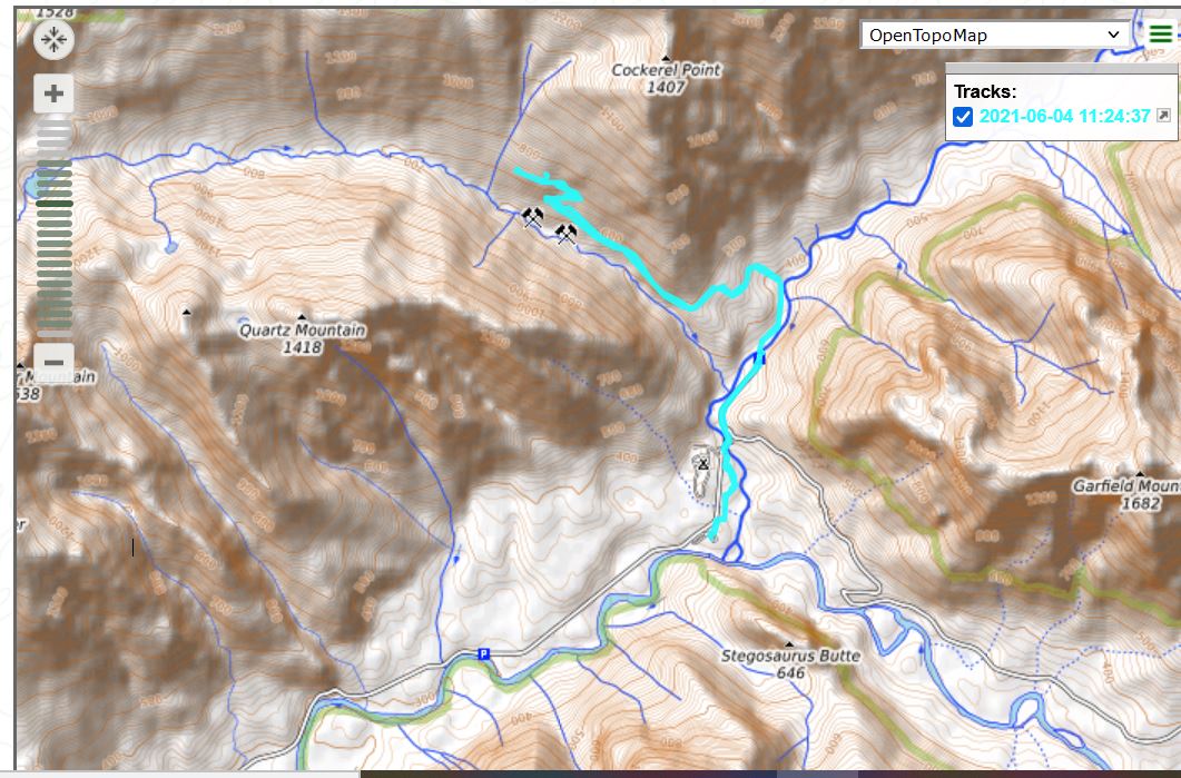
My goal today was to find the Lake Marten trail. I had a good general idea where it is. I had sent a link to a trip report to Derek to suggest it for us to check out. But this is another unofficial trail and not necessarily easy to find.

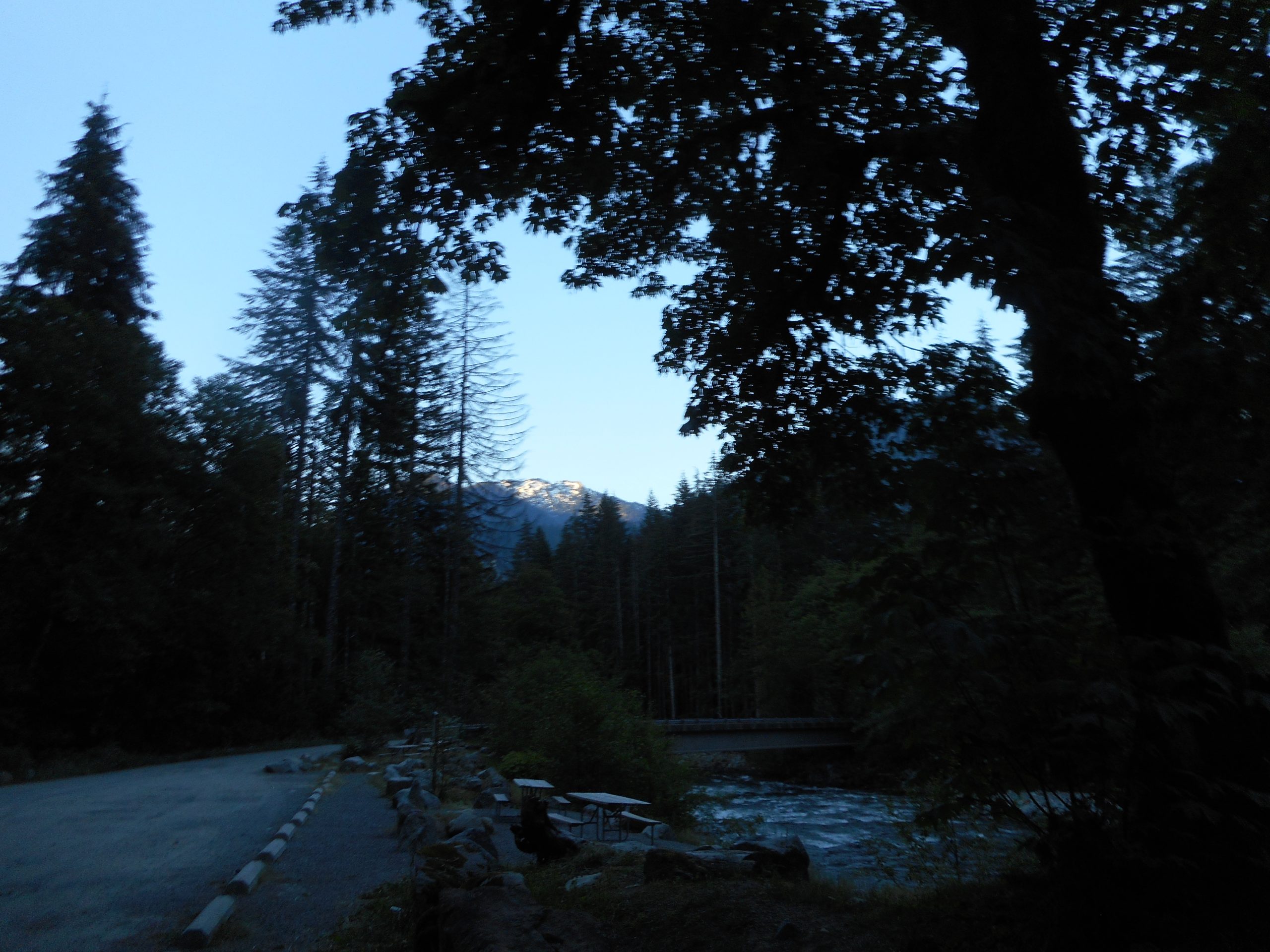
I haven’t hiked for a few days because it has been in the 100’s – like, 110 degrees. Not good weather to hike. So I left the house this morning just after 4 am. I was heading out from the car at 5:30. Nice and cool.

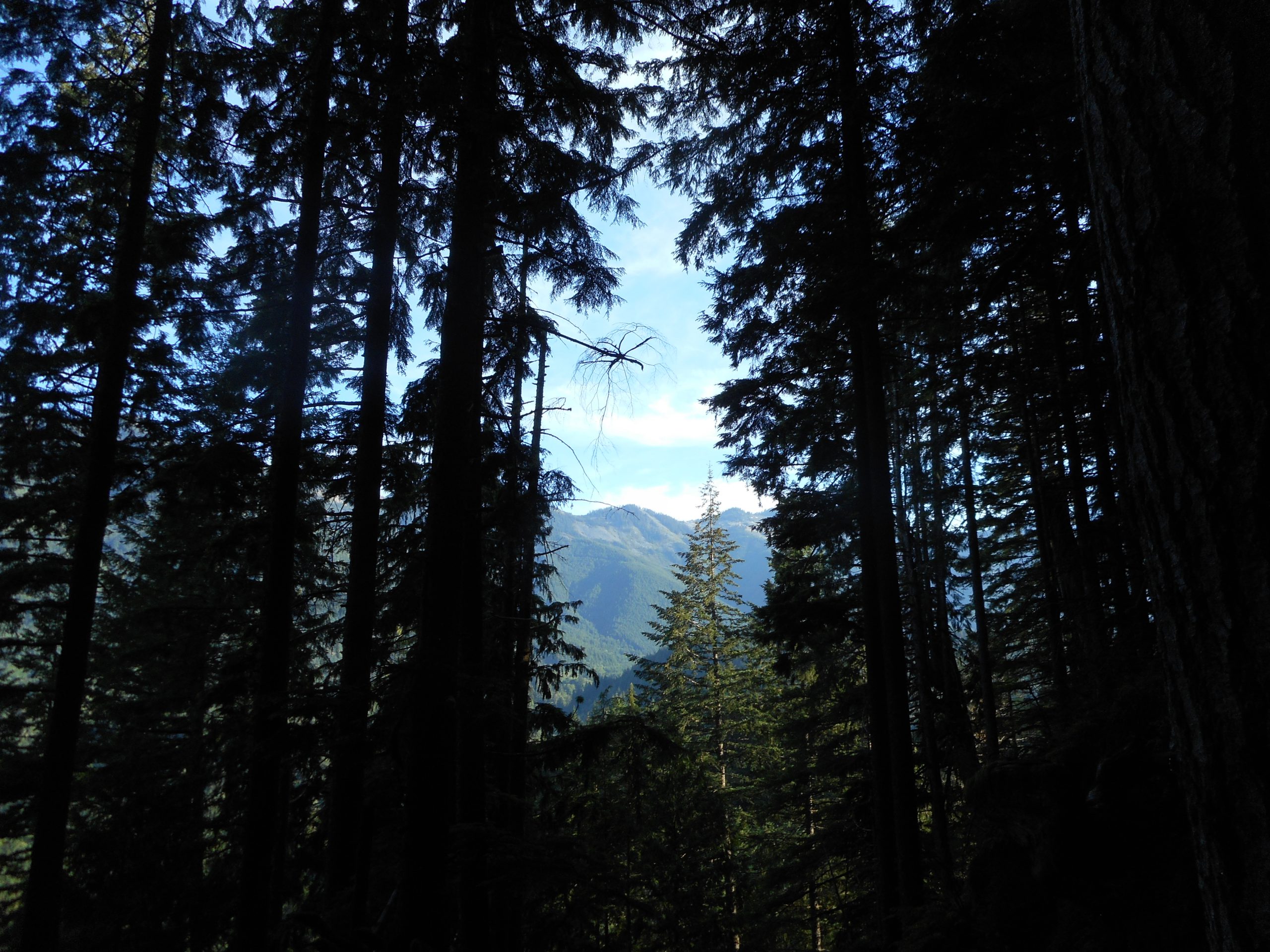
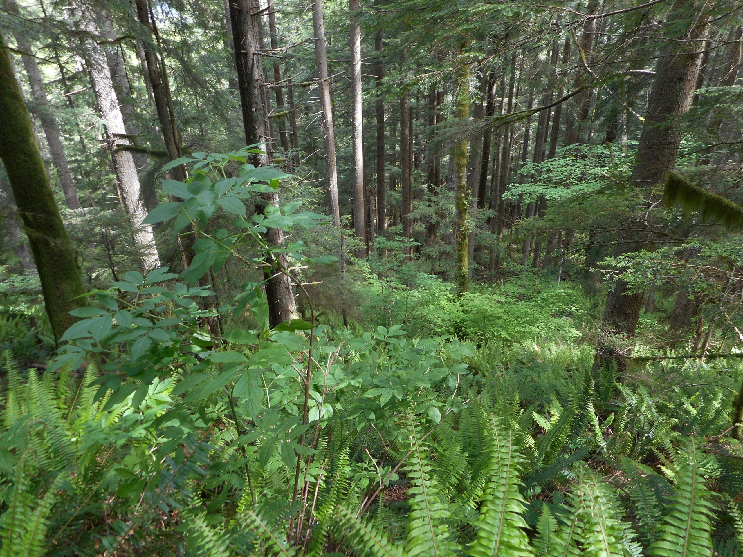
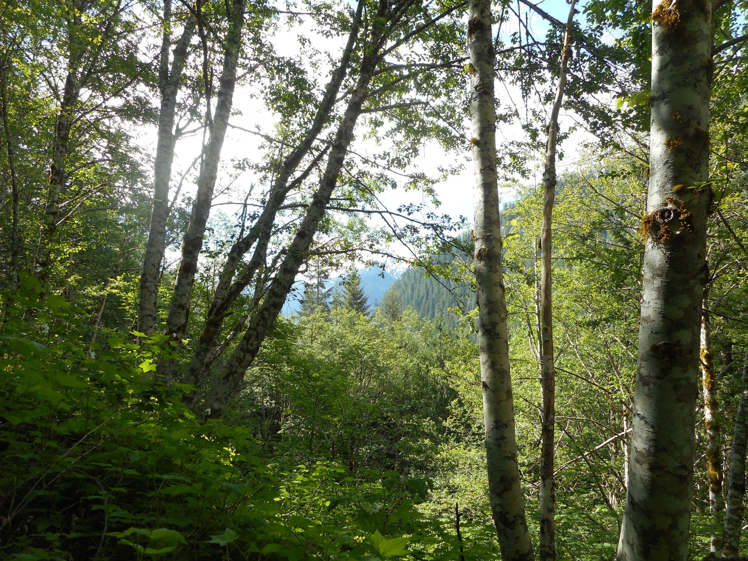
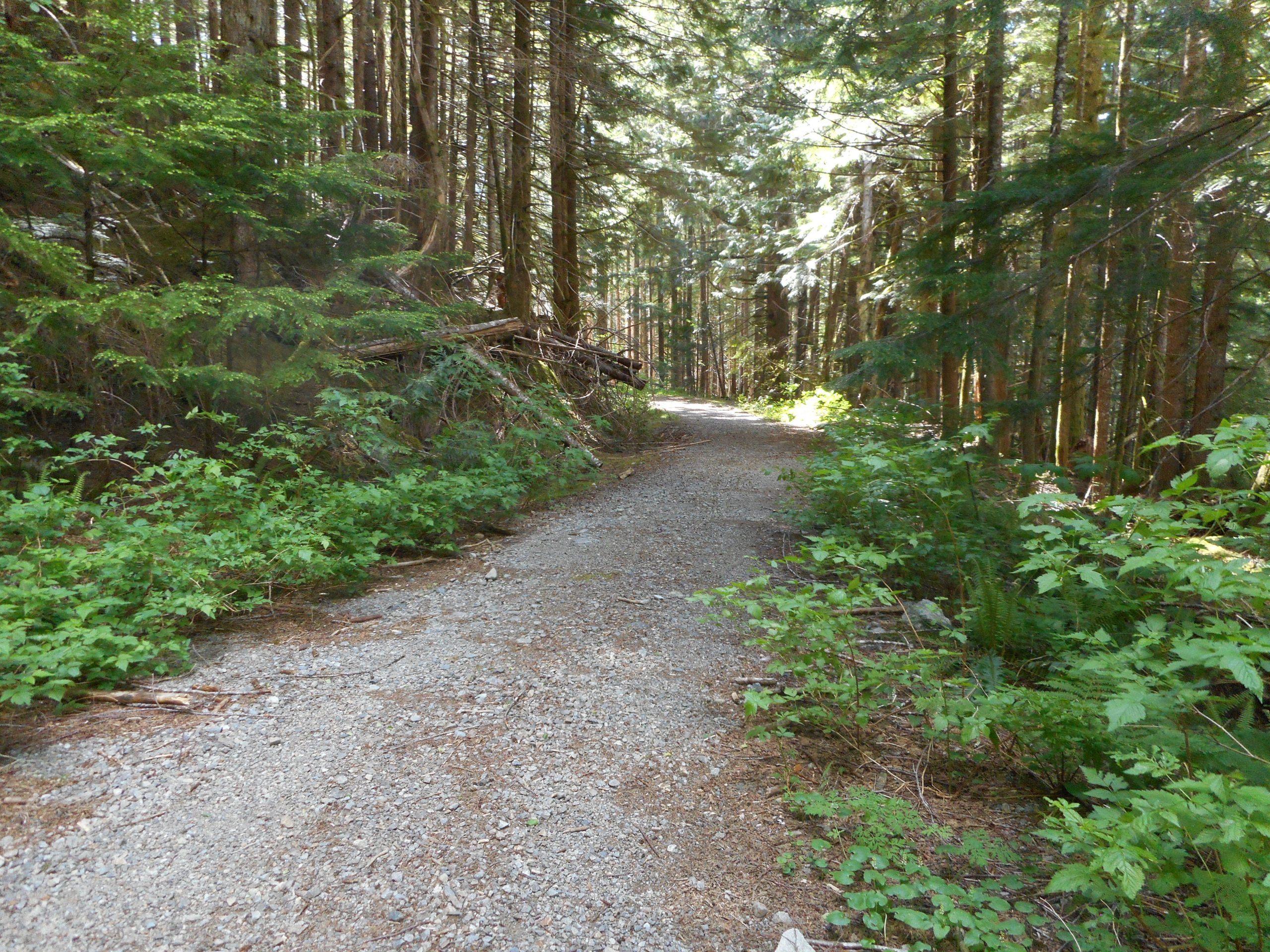
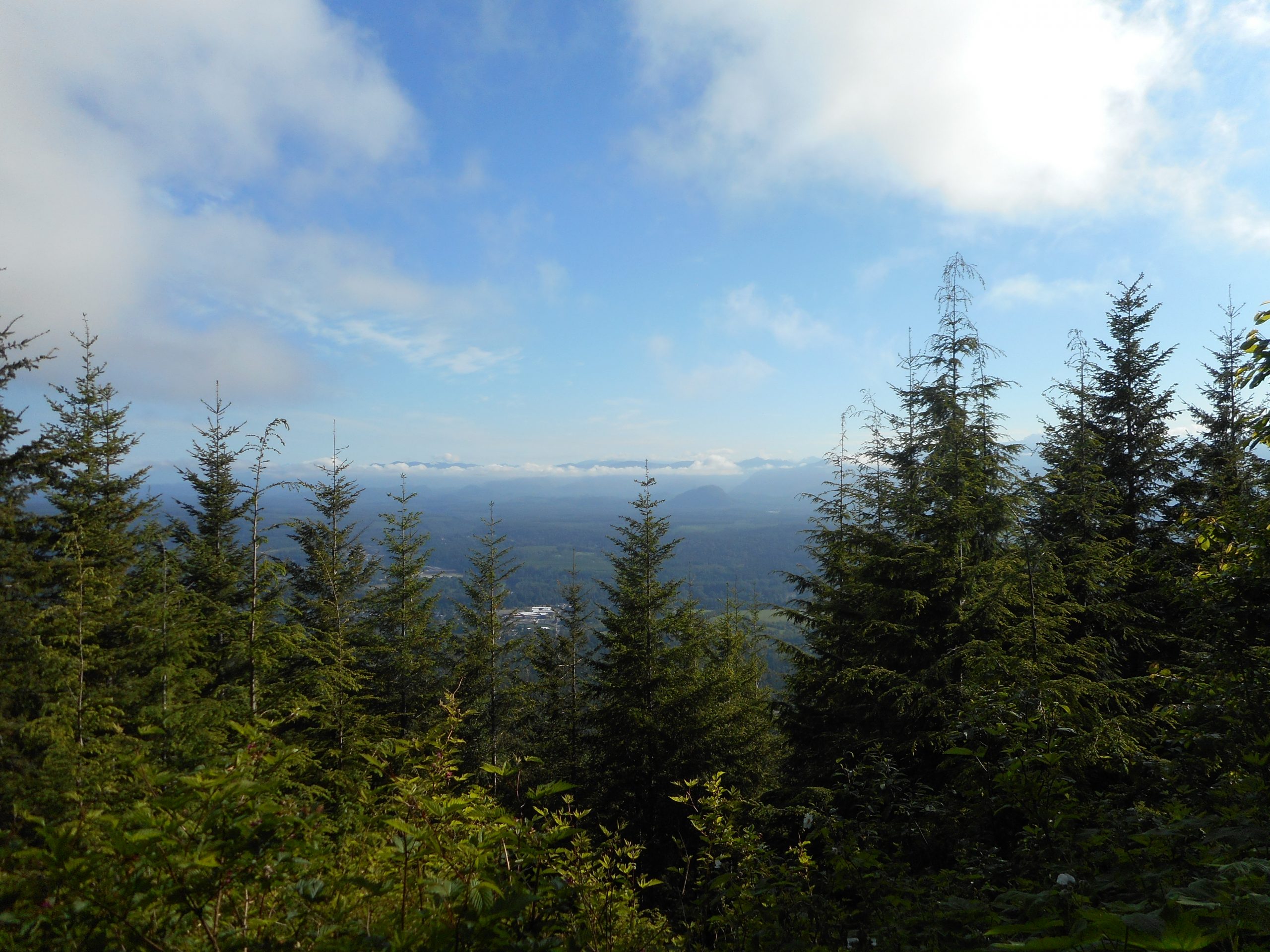
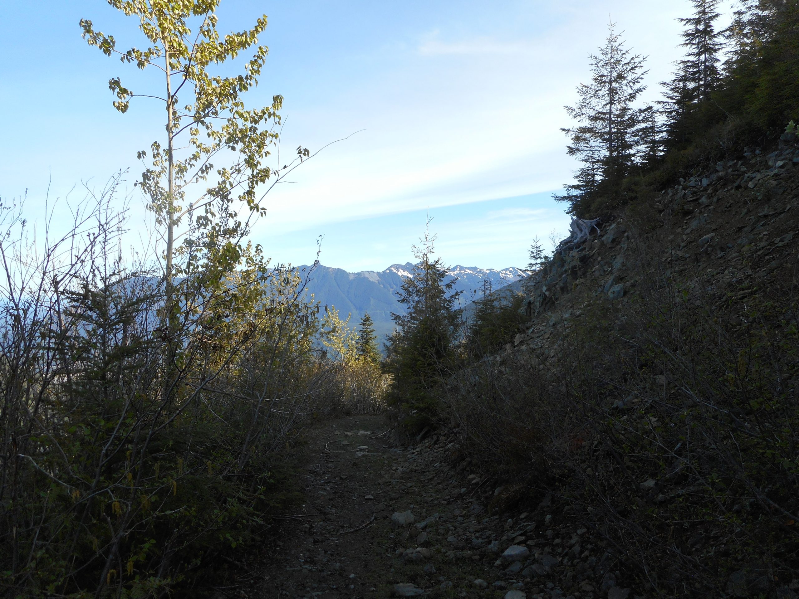
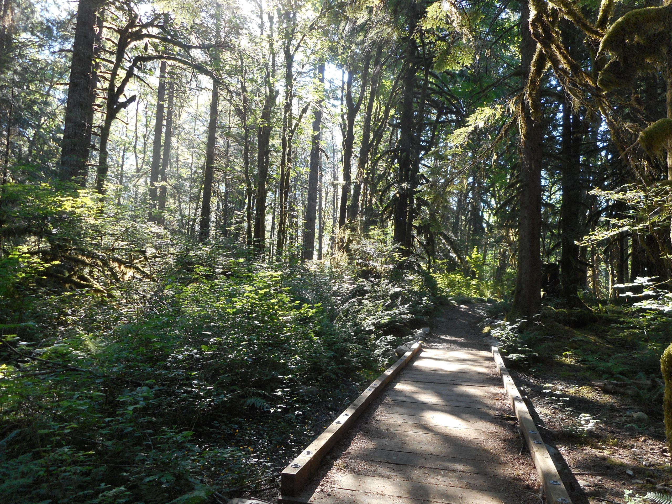
I parked at the Middle Fork parking lot. Parking here adds 2 miles round trip to the hike (a mile to the Snoqualmie Lake trail head) and it avoids having to drive over/around some very nasty potholes. Anyway, it is a wonderful mile. The first .5 mile is on a connector trail and the 2nd growth forest is beautiful:

Forest View

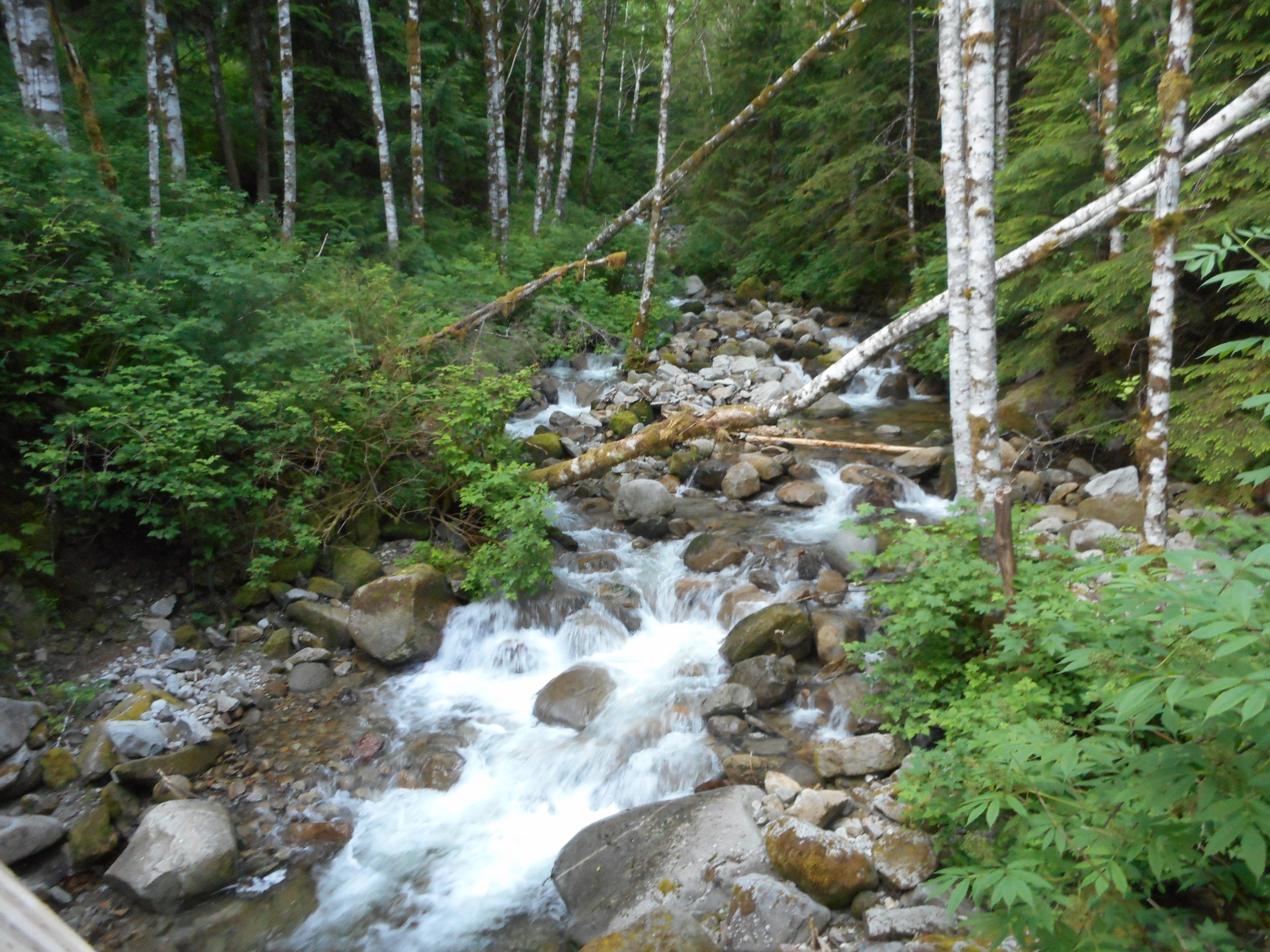
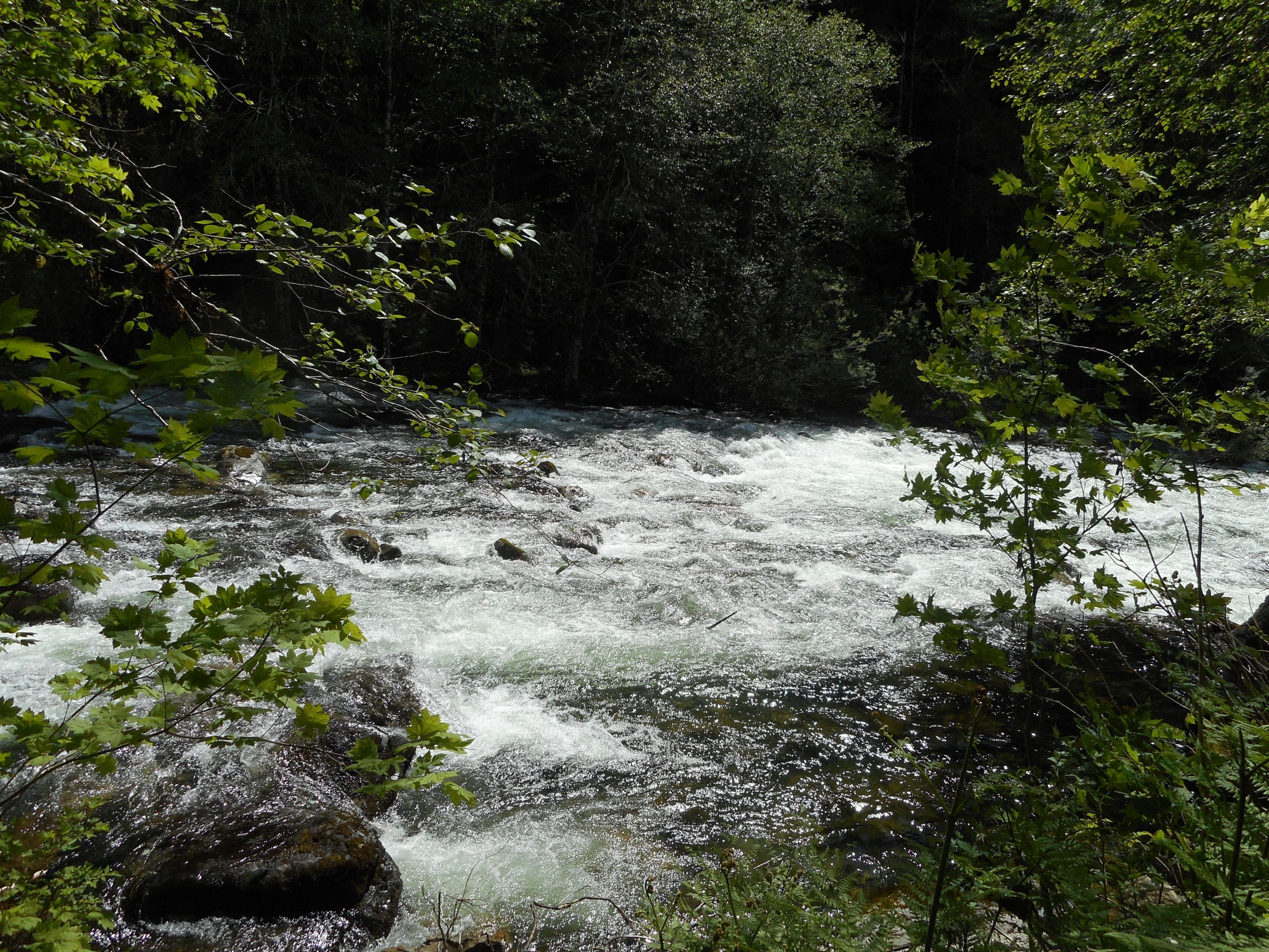
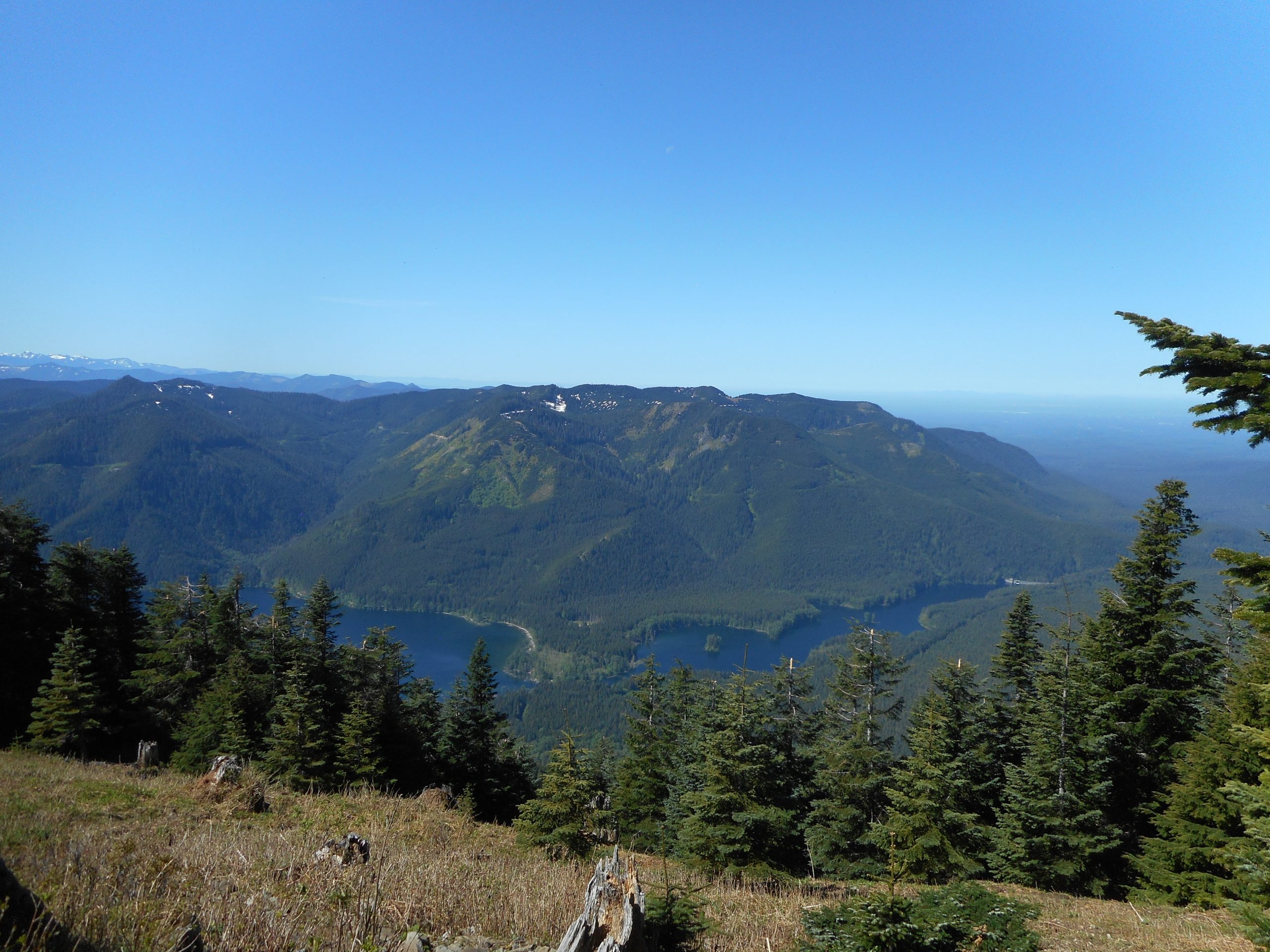
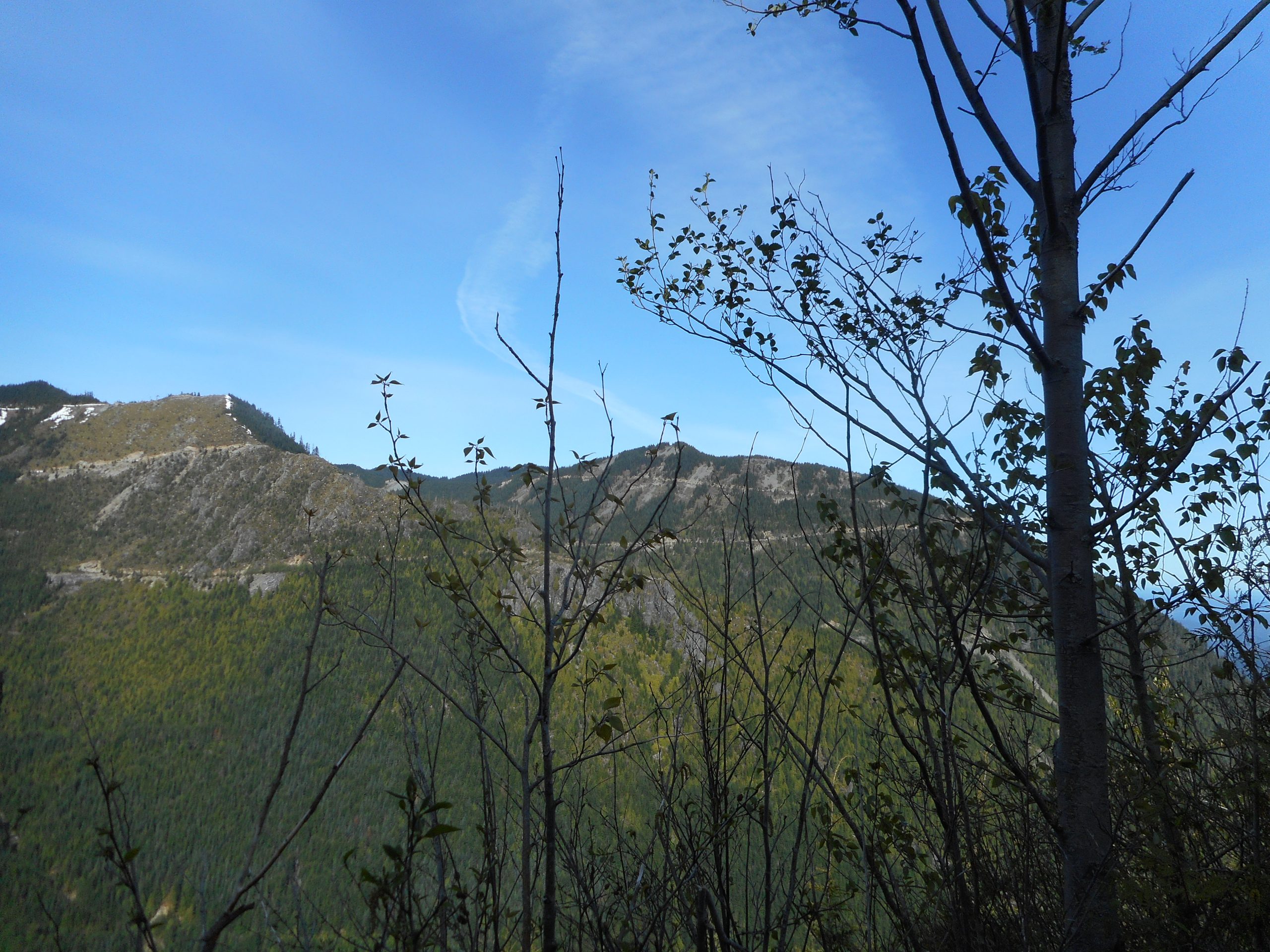
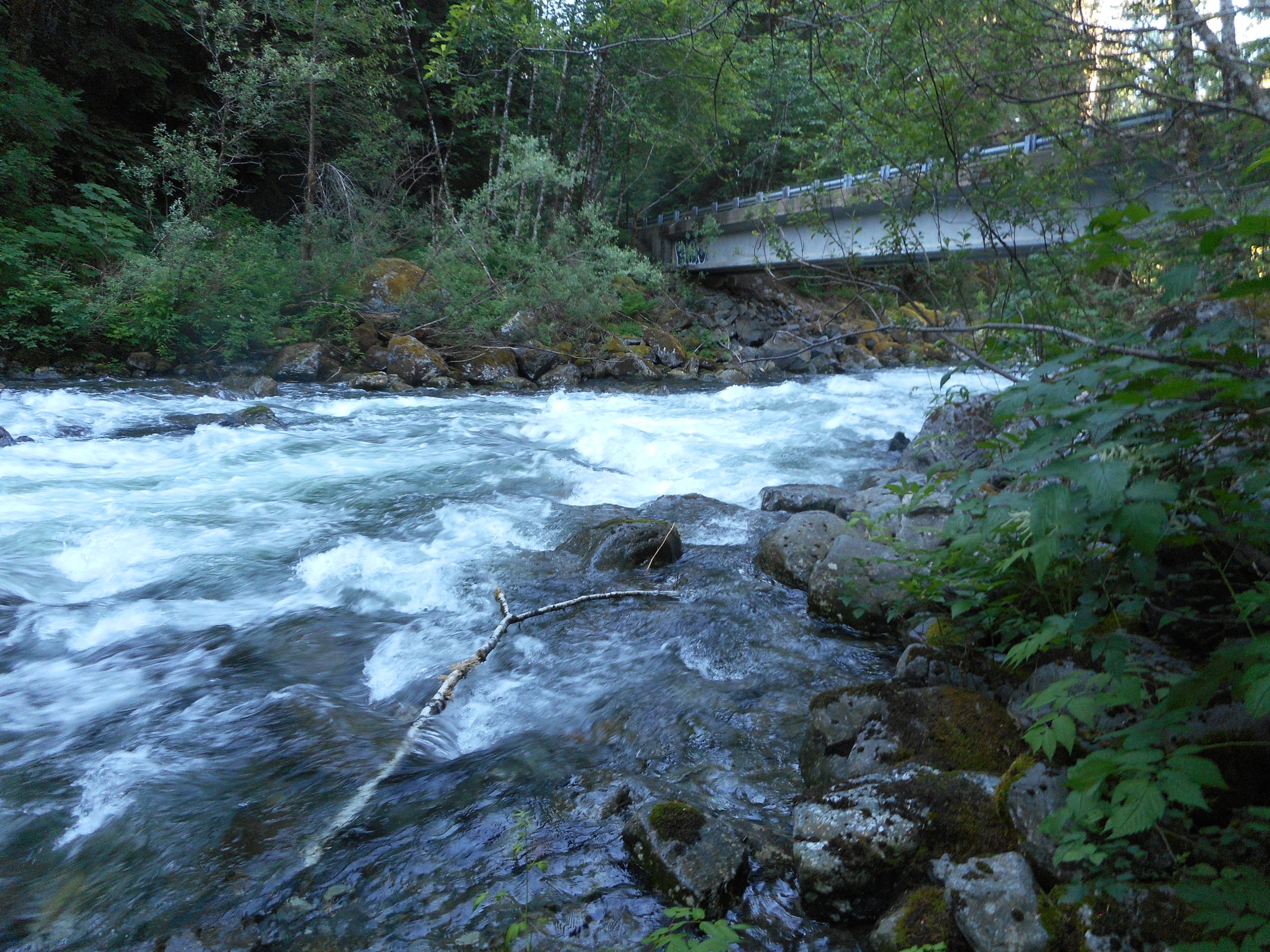
After you get onto the Sno Lake Trail you are close to the Taylor River. This section of the river, at this time of the year, is exciting. It is white water and very loud – loud in a great way:

Taylor River

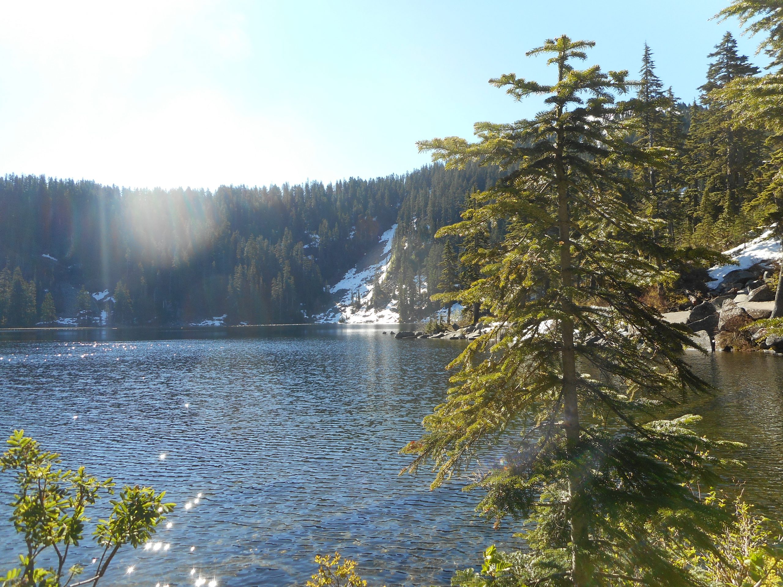
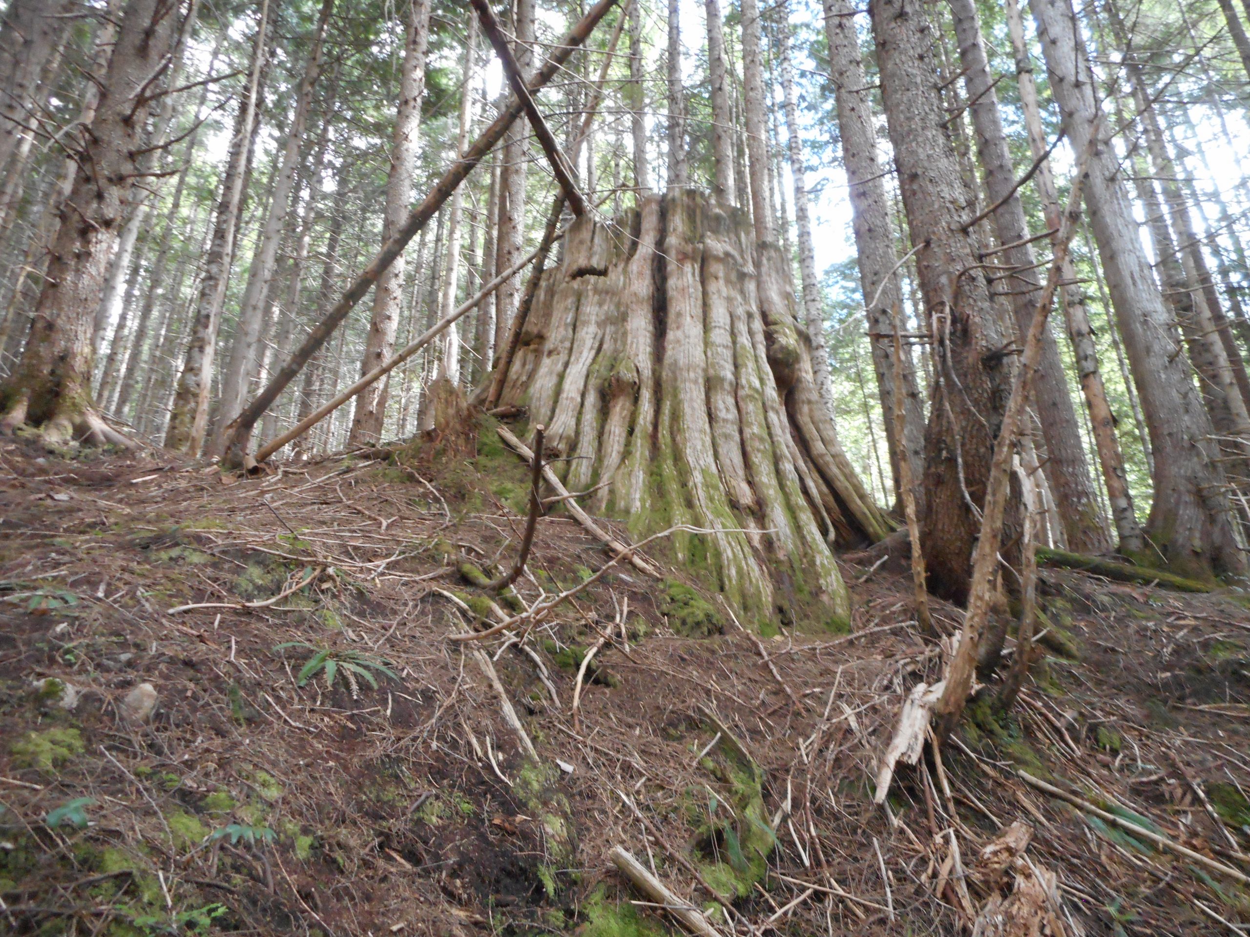
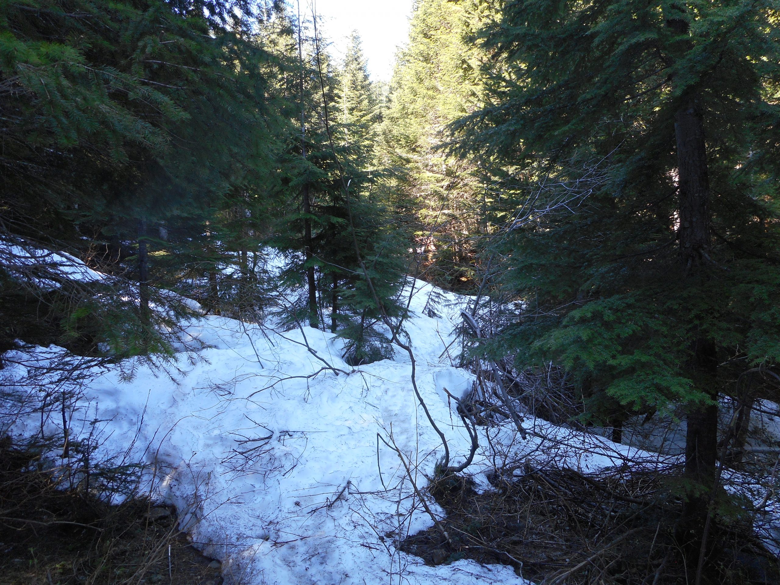
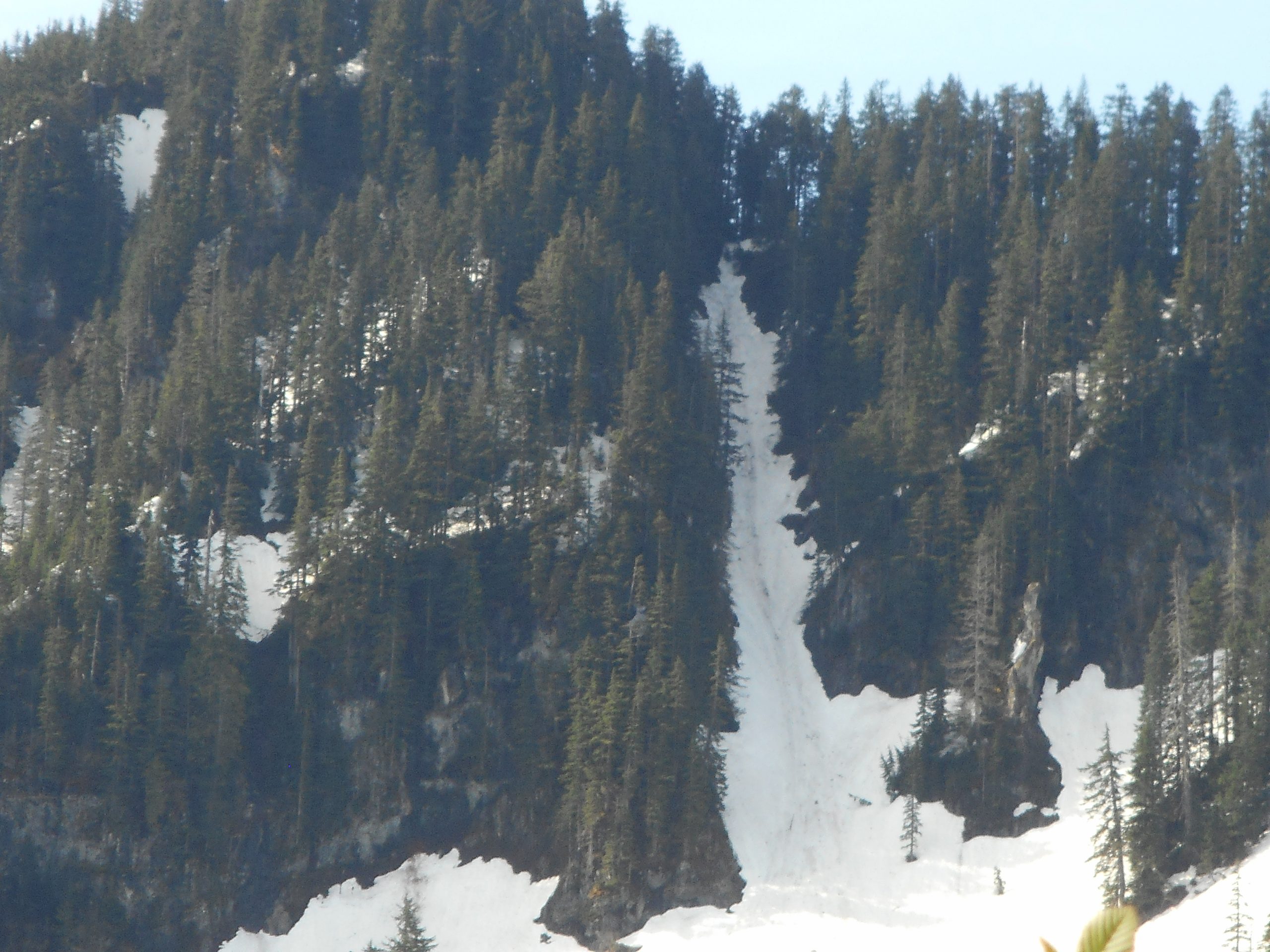
I did finally find the Marten Lake trail, 3.7 miles from the car. I went a couple of hundred yards up the trail just to see how it is and it is a doozy:

Trail

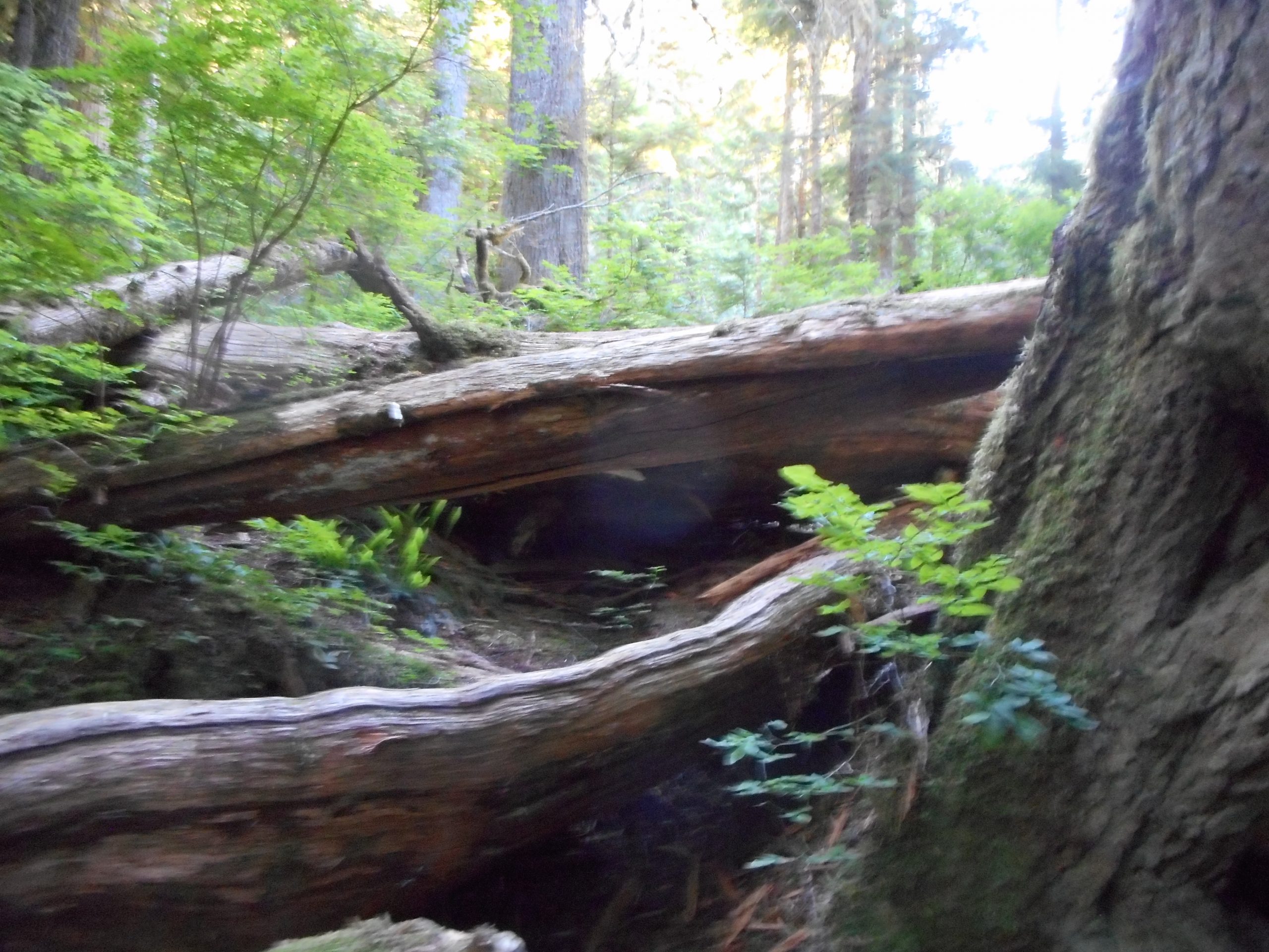
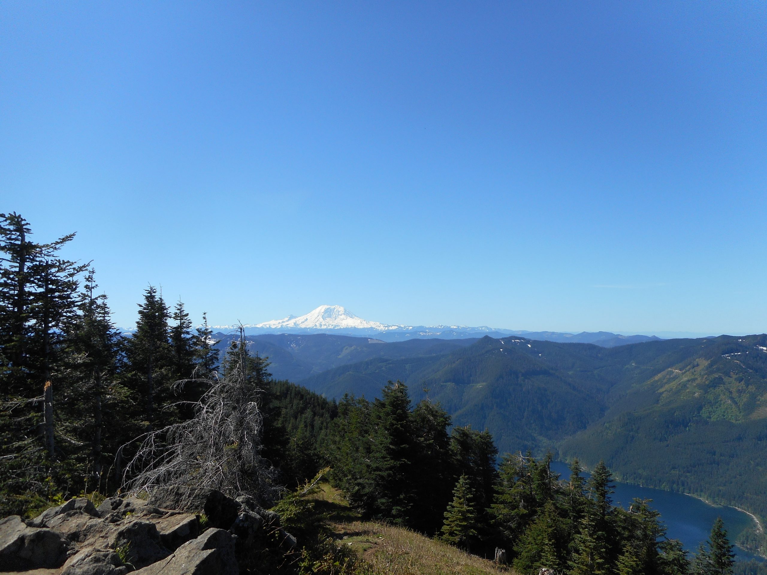
Now, when Derek and I plan this hike, I will know where to go. I did not feel comfortable doing this trail alone. It is very rough and very steep but it ends at a marvelous sub-alpine lake (in the Alpine Lakes Wilderness, no less) and I am looking forward to giving it a try.

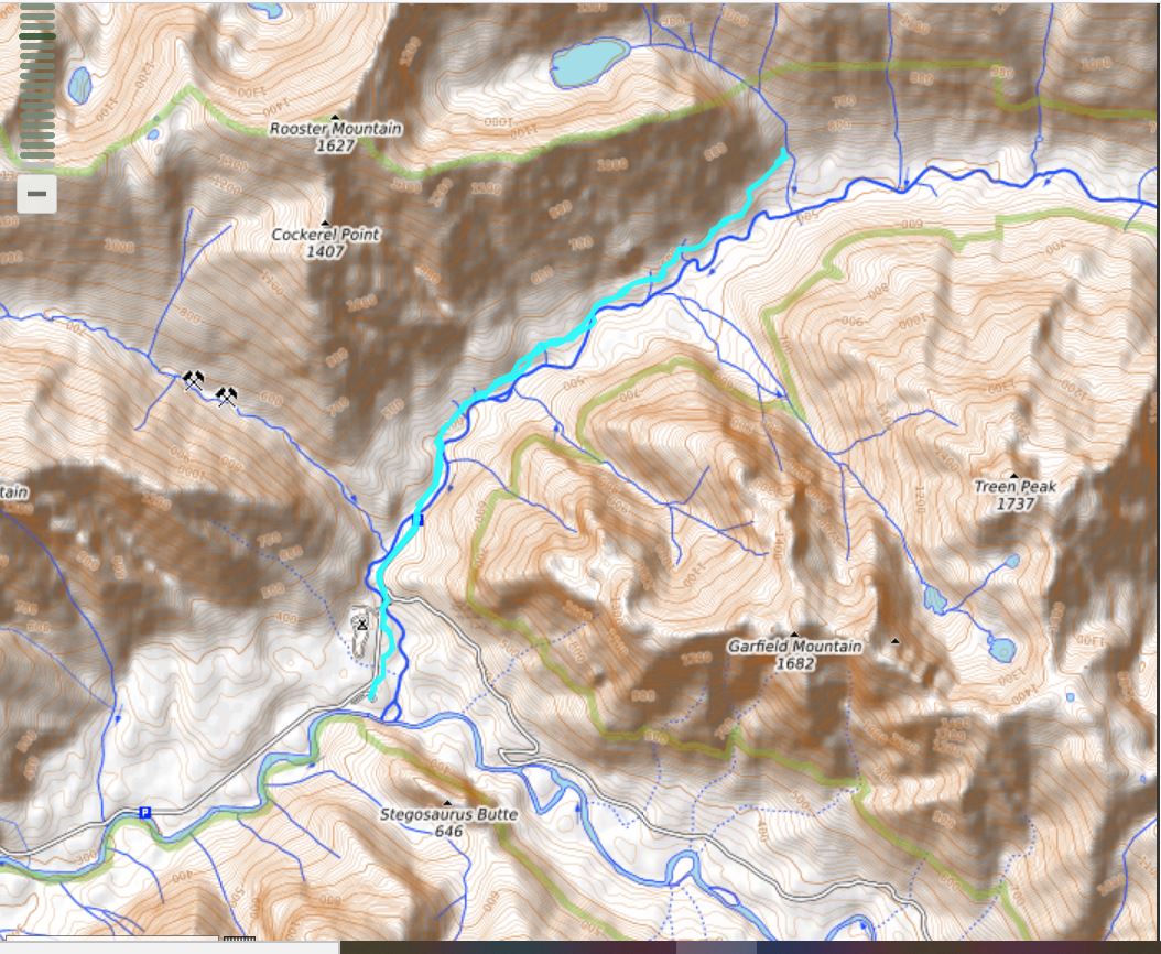
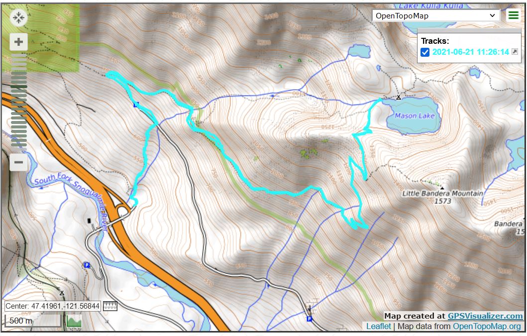
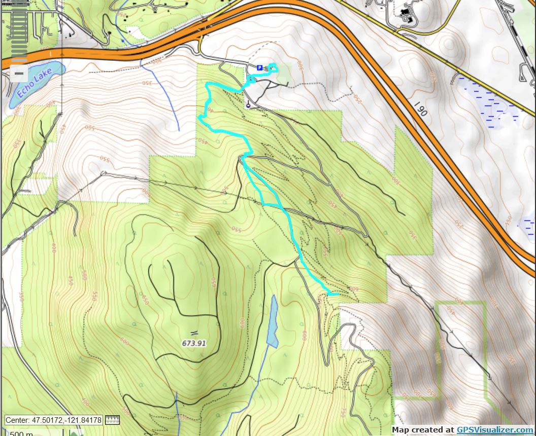
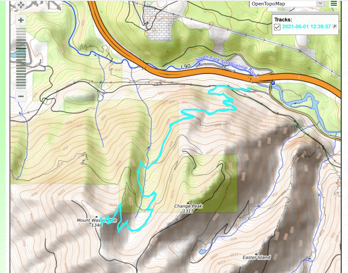
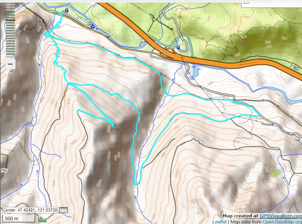
Hike was just under 8 miles. Here is the track:

Track

Granite Creek Trail 6/25/2021

View Point

I only did about 4 miles today. Kind of a bust. We have a heat warning around here, it is supposed to be in triple digits by Sunday and it has been in the 90’s in some spots. So I figured I would get out really early.

I left the car to go up the trail by 5:50 am. There was only 1 other car in the lot. This trail is wide and new for the first 1.25 miles but after that it gets brushy and narrow. And about the time these old-man legs hit that mark, the first in what turned out to be a long stream of hikers passed me.

At 2 miles I turned around, at the bridge that spans Granite Creek.

Granite Creek

I will try an even earlier start on Sunday, by Change Creek which is a fairly obscure hike, and see if that works. I do not want to be caught on the trail in the heat so I will see how it goes.

Mason Lake 6/21/2021

Mason Lake

I did a proper hike today, Mason Lake. I took a different route than normal. It is usual to drive to I-90 Exit 45 and then drive 3 miles west on a service road. But the trip reports are complaining about the massive pot holes so I took Exit 42, went to the north side of the freeway, parked along a little pullout and went up the unofficial trail that hits the service road .25 miles from the parking lot. The trail is .4 miles long so this route adds about 500 feet of elevation gain (the short trail is steep!) and 1.25 miles to the hike. So it was about 8.5 miles.

Trail is in good shape. Almost no snow anywhere. As always on a sunny day, the views from the ridge at 4,300 feet are awesome:

(l to r) Mount Gardner, Duchess of Kent, McClellan Butte
Ridge View including Rainier

And on the way down I got to see a frog. They normally run away but this guy just sat there. I hope he is all right.

Frog

The track:

Rocky Reach Trail 6/18/2021

Eagle

On Wednesday, 6/16, we (me and Jan, Jill and Derek and the kids, Cam and Fin) drove to central Washington near East Wenatchee to do our annual Lincoln Rock car camping outing. Derek and I traditionally hike but circumstances conspired against us.

Anyway, on Thursday, I walked down the Rocky Reach Trail. It gets its name from the Rocky Reach Dam, which is situated on the Columbia River, generates a lot of power for the area, and is the reason why the lake on which Lincoln Rock State Park is situated exists.

Rocky Reach Dam

About 2.5 miles down the trail I saw an eagle sitting in a tree. She was sitting on a branch above her nest. I could see two little eagle heads (black, not white) popping up. I thought it was cool to be able to see an eagle from relatively close and in a relatively predictable place.

So I went back on Friday with my camera. This time she was in the nest and not all that easy to see. In the picture above look for the nest in the tree; she is sitting in it.

The topography around Lincoln Rock is very hilly – see below. Derek and I would love to find a way to hike up one of the hills. They are super-steep and would be a terrific workout with a great view. But they all seem to be private property and off limits. We shall see.

Hilly Terrain

Only a 5 mile walk but it was blazing hot, in the mid-90’s, so it was fairly decent workout. Plus, in the morning Derek and I took out the kayaks for a nice upper body workout. So, no slacking but no hiking either.

I hope to get out tomorrow around here, as we got home today, unpacked, and are more or less exhausted.

Tiger Mountain 6/10/2021

Forest View

Today’s hike was not very photogenic but it was a good workout – 9.7 miles with about 3 miles of steep elevation gain and a challenging section with mud and bushy overgrowth – and a fun time.

We have visitors from out of town and when I got back I was tasked with dogsitting (my niece’s dog likes to do things like get into garbage) so here I am.

Track below:

Track

Tiger Mt/Section Line 6/6/2021

Tradition Lake

Simple conditioning hike on Tiger this morning. I hit the trail at 6am – I wanted to get ahead of the forecasted rain and thunderstorms. Not sure how many hikes I will get in next week, we have friendly visitors from out-of-state staying with us for a few days. Jan’s sister Deb, who, with her husband Rick, moved from Chicago, where they have lived their entire lives, to Geneva, IL. What a change!

And their daughter (our niece) Jaclyn, who is moving from Alaska to Idaho and stopping at our place en route. Should be fun.

So we will see how it goes.

In the meantime, there are new signs on Tiger. What used to be an unnamed connector trail from the E. Sunset Way parking lot up to the Puget Power Trail now has a name:

New Sign

For sure, this is a nice way to start the day.

Quartz Creek Trail 6/4/2021

Preacher Mountain

My goal today was to do something new. I wound up parking at the Middle Fork Trailhead, taking the connector trail past Garfield Ledges and up the Snoqualmie Lake Trail. I just wanted to see where it led.

At about .5 mile up the trail there was a fork and a sign. Left was the Quartz Creek Trail, which I vaguely recalled seeing on a topo map so I figured, what the heck, and I hung a left.

This is a former logging road (see below for evidence of logging I found) and it does go on. And up, but not terribly steeply. The trail is more like a road for maybe a mile, and then it turns into more of a trail. It reminds me of the Granite Creek Trail, not an amazing coincidence since that trail is only a few miles down the road. And it shares with that trail numerous un-bridged small stream crossings.

I turned around at a fork where, I now see, one path leads to a lake (and, per a few trip reports, very nasty stream crossings) and the other way to Cockerel Point, which looks like a tough one. You can also get to Rooster Mountain, another difficult outing.

7.3 miles, 2,200 feet of elevation gain, the place is gorgeous. Photos and track below.

Logger’s Notch to put a Plank to Stand on While Sawing
Peak-Through View
Nice Mix of Sun and Shade – Great Trail
West Fork of Snoqualmie River
Track

Stan’s Overlook 6/3/2021

Sunny Day

I just did Stan’s Overlook today, the Tuesday hike on Mount Washington was pretty big and I plan to get out tomorrow somewhere so I went small. The track is below, I add it only because I did a little loop around the Snoqualmie Point Overlook, which would be nice for out-of-towners. Great view, a little walk.

Track

Mount Washington 6/1/2021

Mount Rainier

I did Mount Si last week and I did Mount Washington today. Although there is still a little snow on the Mount Washington trail (see below) it is not that much of a problem. I was able to summit with no problem.

Actually, I would have had a problem had I started earlier (I left the car to go up the trail at 7:25 am) because it is getting into the 80’s today. I saw 2 people on the way up, a young couple who were power-hiking up the trail, but on the way down I saw perhaps a dozen people. The last few were sweating and panting. I hope they brought plenty of water.

This trail gets worse every year. It is rockier and rockier, really tough on your feet. I pity anyone doing this trail for the first time who is not wearing thick-soled boots.

Anyway, about 8.5 miles, 3,2500 feet of elevation gain, a bit less than 5 hours car-to-car. That includes a nice break at the top to enjoy the views and get my pulse down a few notches.

Track and a few views below.

Snow on the Trail
View of Chester Morse Lake and the Watershed
Looking North

Track

Zig Zag Trail 5/29/2021

Looking North

I went up Zig Zag today and got a bit closer to Truck Summit. I turned around at about 3500 feet – not because of too much snow – I just wanted to see what the trail was like these days. There was snow from about 3200 feet to 3400 feet but when I made the turn south the snow disappeared. I could see it was deep a ways up the trail towards the truck. I figure another 3 or 4 weeks should see the trail clear. I will remember that.

As always, Zig Zag is very steep and rugged but not that bad – going up, at least. I took the long way down and it was just good fun. Plenty of views. I had to put trash bags over my shoes to get across Mine Creek but it worked out just fine.

A bit more than 9 miles on a beautiful May day. Summer is almost here!

Songbird Peak/Change Peak
Someone’s Winter Route up Chester Peak
Ugh – Obnoxious Gunnuts Shoot the Place Up and Leave an Unholy Mess
Track