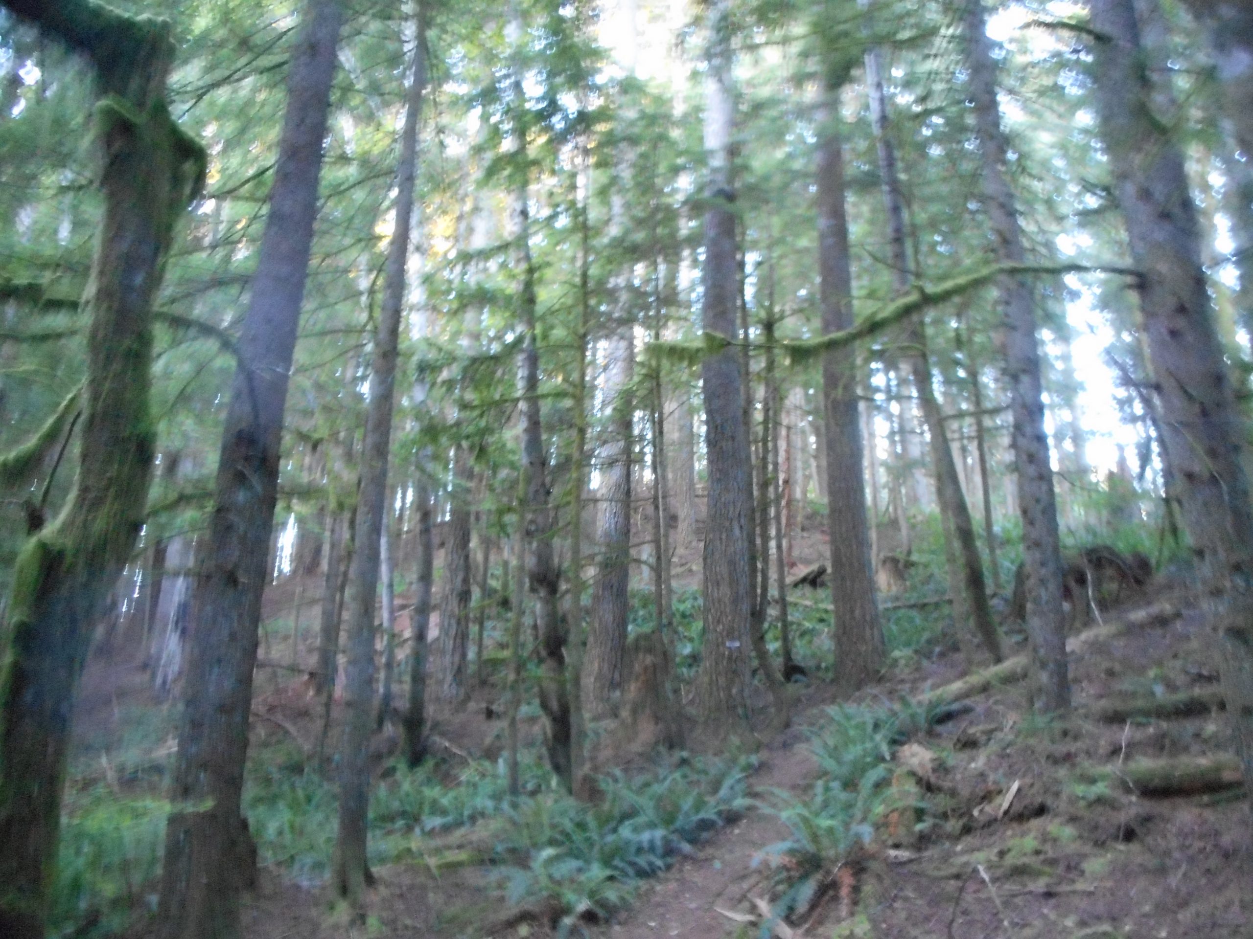
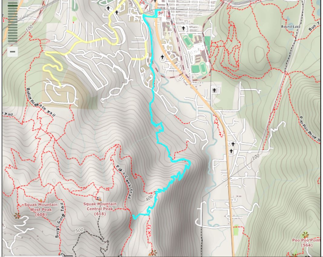
I was once again foiled by the gate at the Margaret’s Way parking lot. I am not sure when they open it, or why it is closed (the other four Squak Mountain access points are accessible early) but when I swung by about 5:15 am it was closed. So I drove to the SE May Valley Road parking lot and went up to Central Peak.
Not many views – again, I started in the dark – but it is at least a decent workout. It is similar to being on a highly souped-up treadmill but in the forest rather than in a gym.
Speaking of forests, I found this on Twitter and it resonates with me:
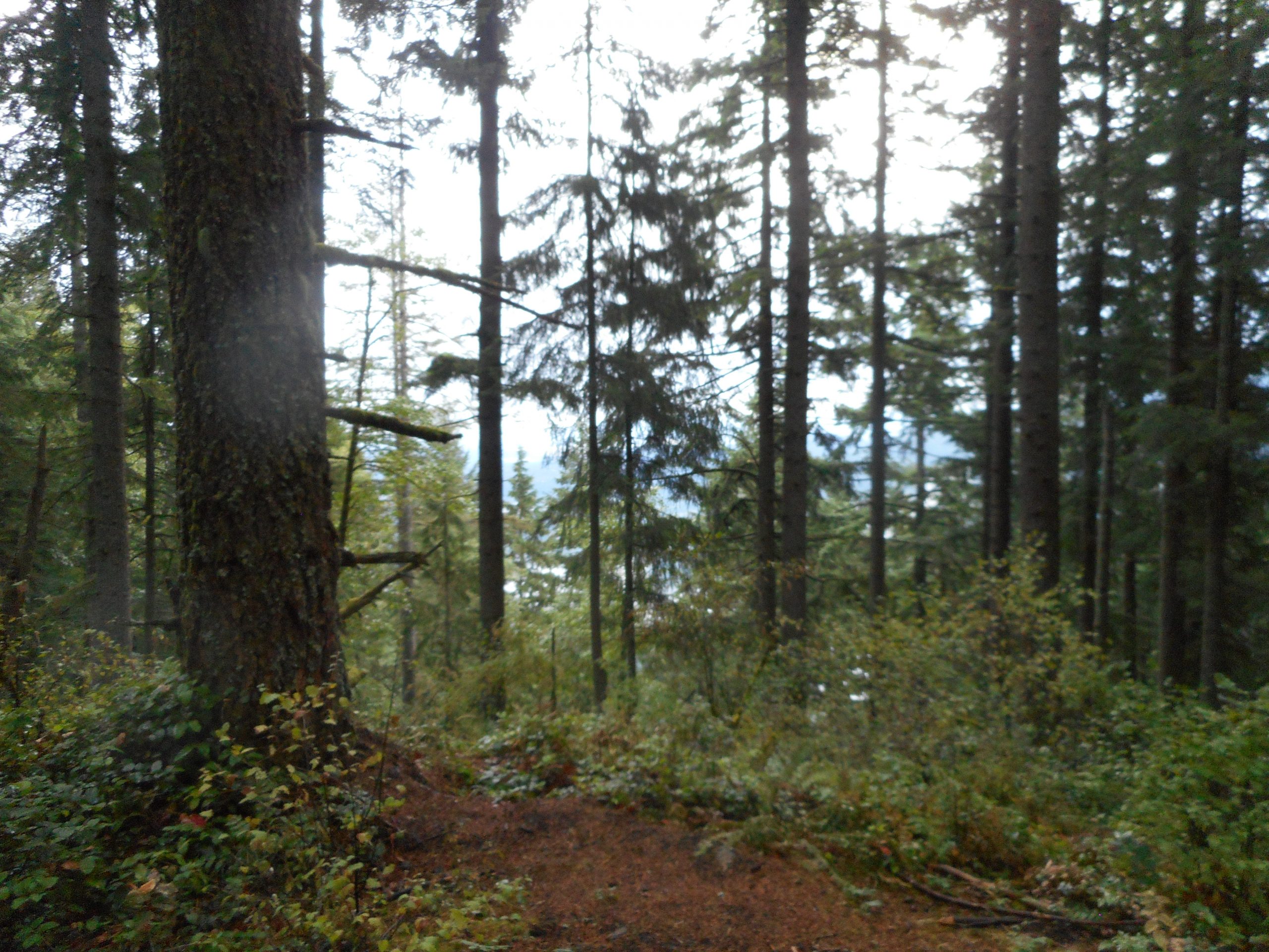
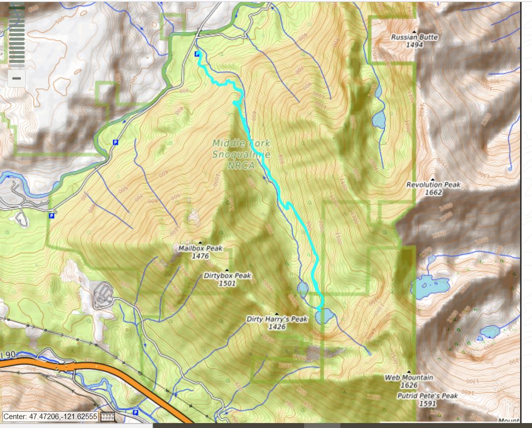
I actually made it to Southeast Peak on Squak Mountain today. The last time I tried I missed the trail. Today, I used Gaia as a guide (as I did the first time I found it) and found it easily. I see that I missed it because my memory of the trail was flawed. I thought it intersected the main trail farther along than it does.
Anyway, if I want to do it again some day, I won’t miss it for sure.
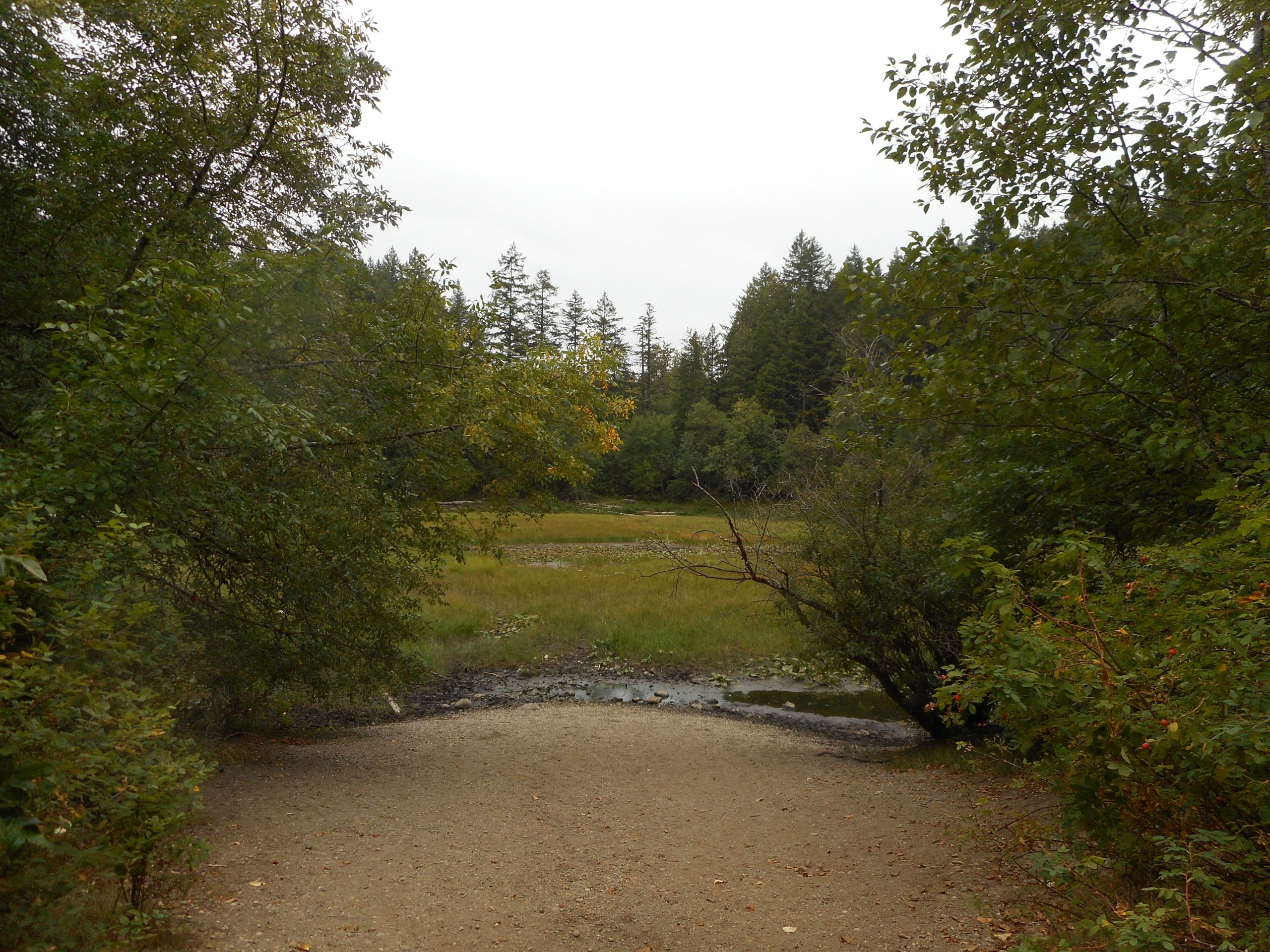
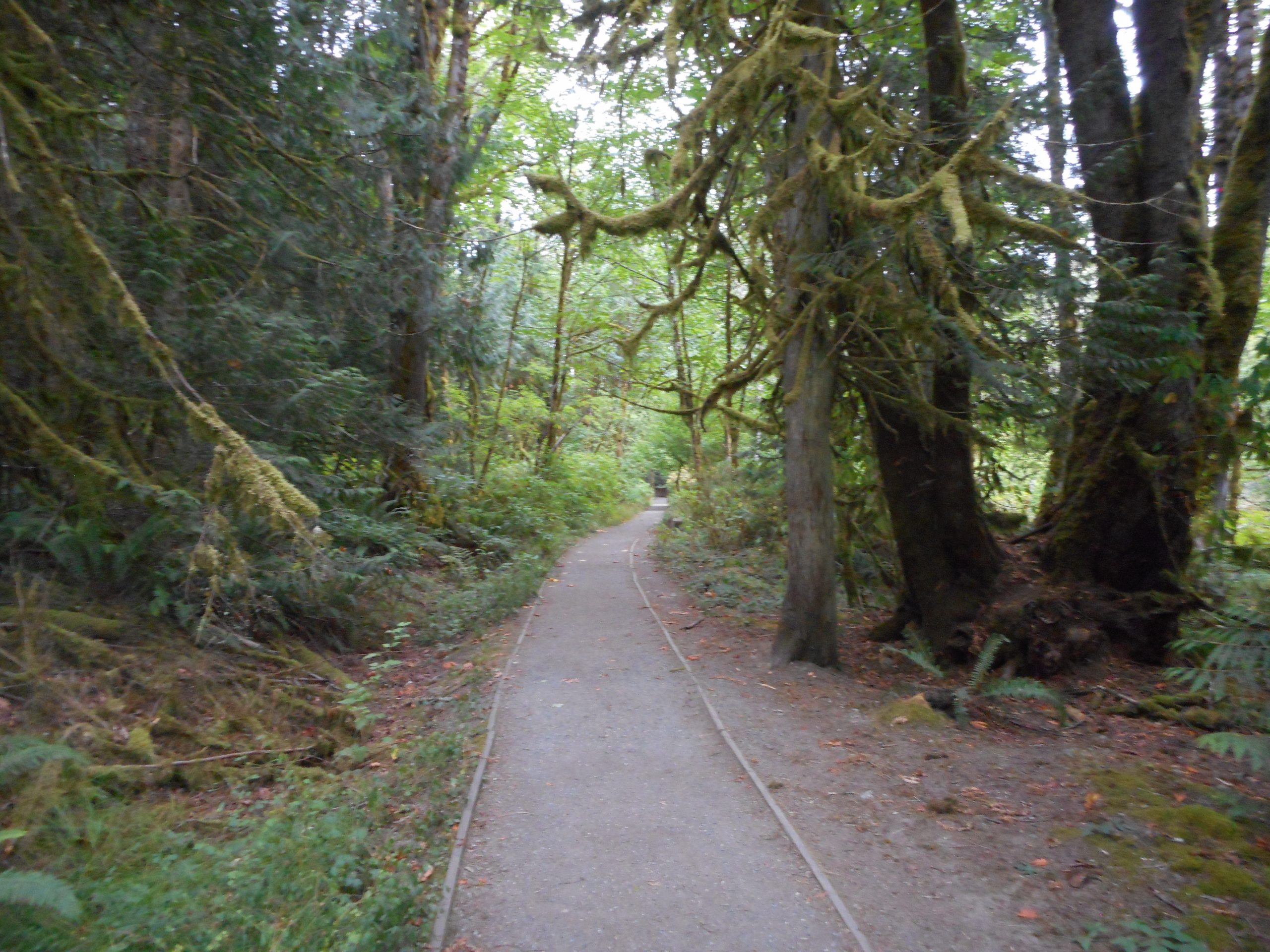
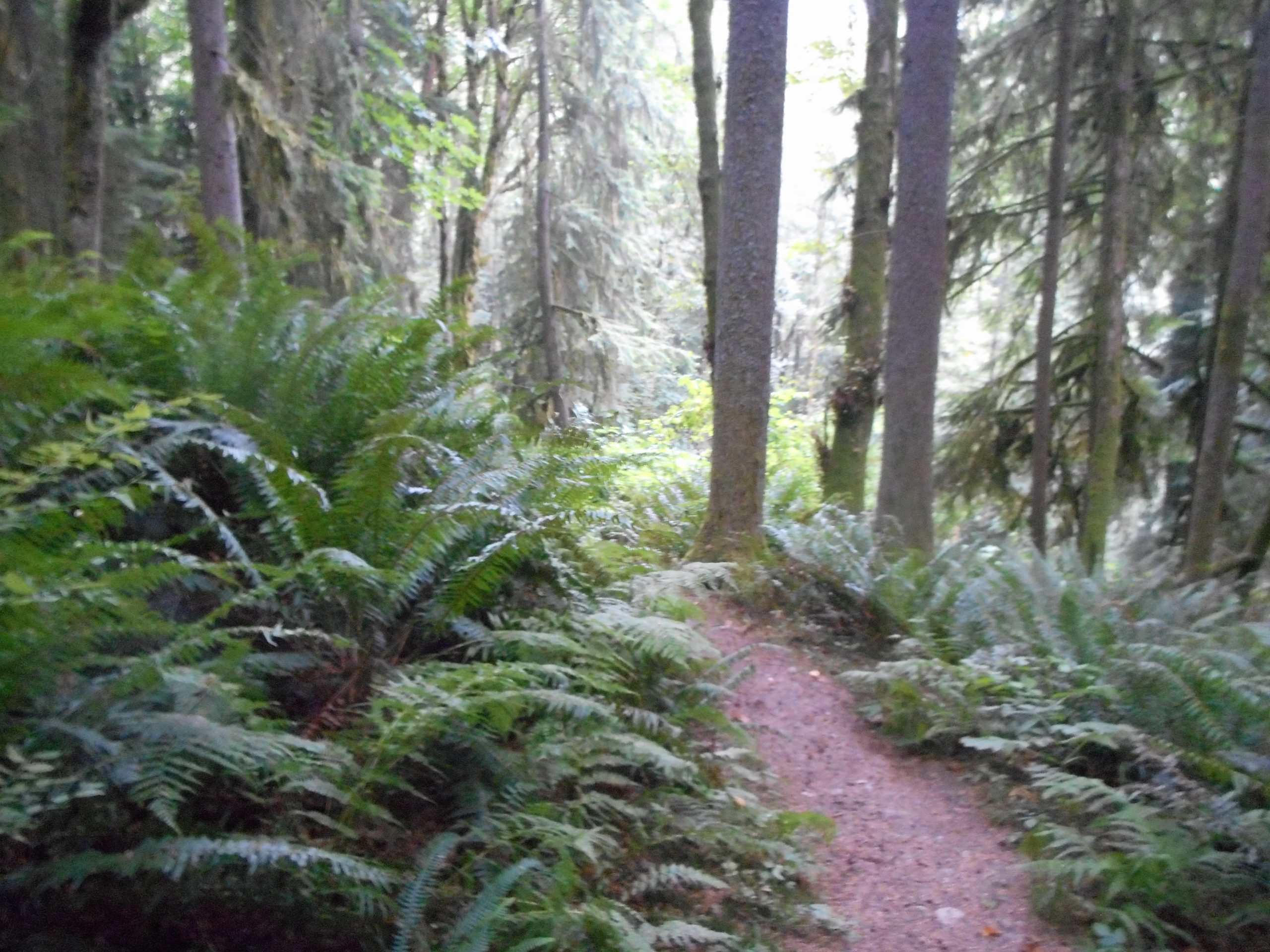
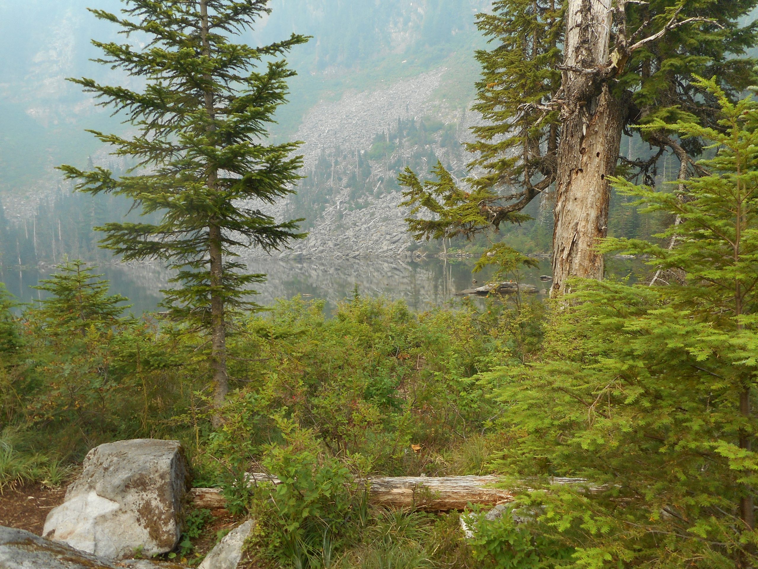
This was not a photogenic hike in any way.
As I did the last time on Squak, I started in the dark. The first hour was with the headlamp. But this trail doesn’t have many views anyway. The forest is nice but not awe-inspiring. SE Peak itself is wooded. The view (above) is less than inspiring.
But it was about 7.5 miles with plenty of elevation gain to make it a nice workout, definitely beats sitting on my ass so it’s all good.
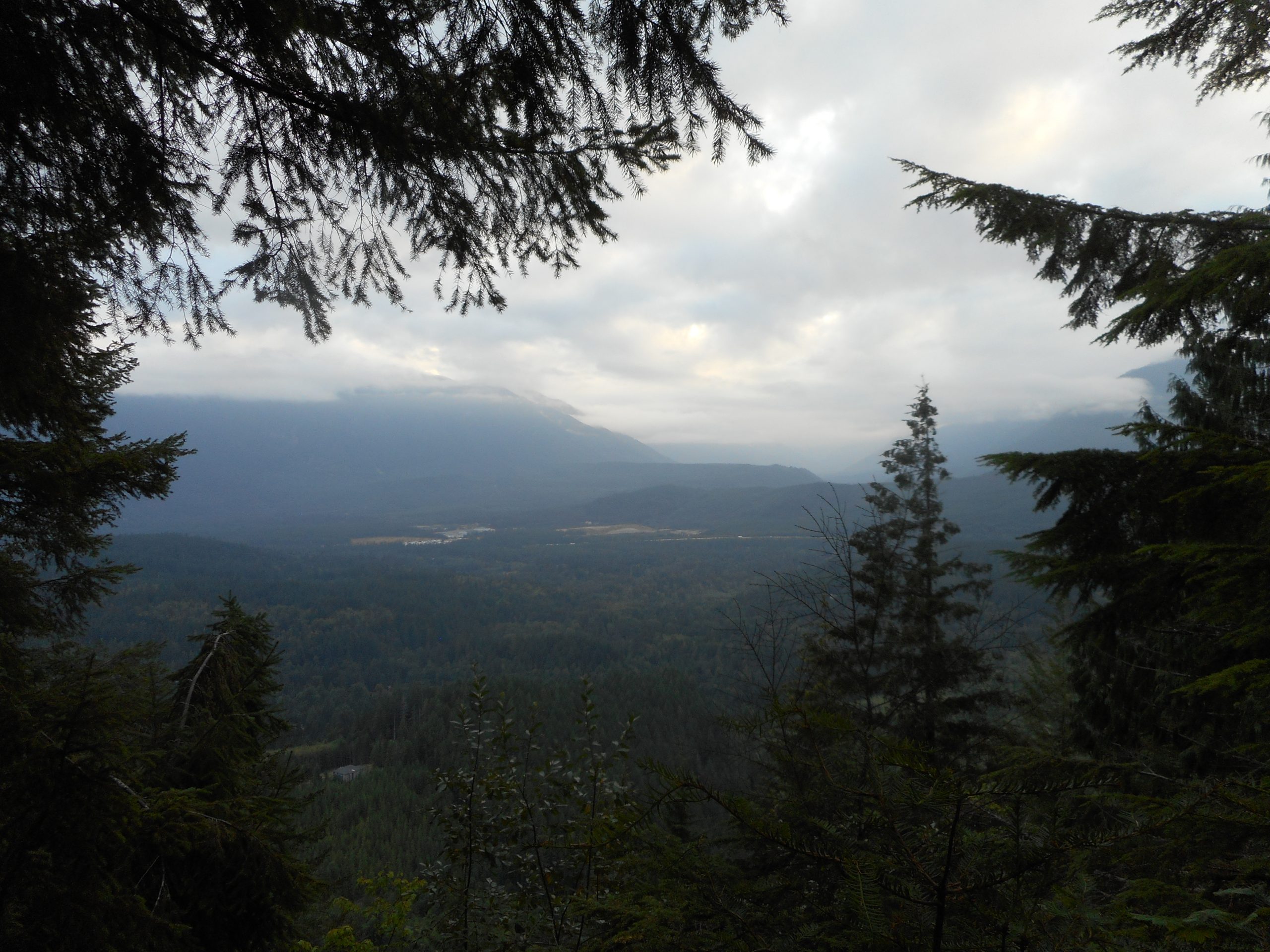
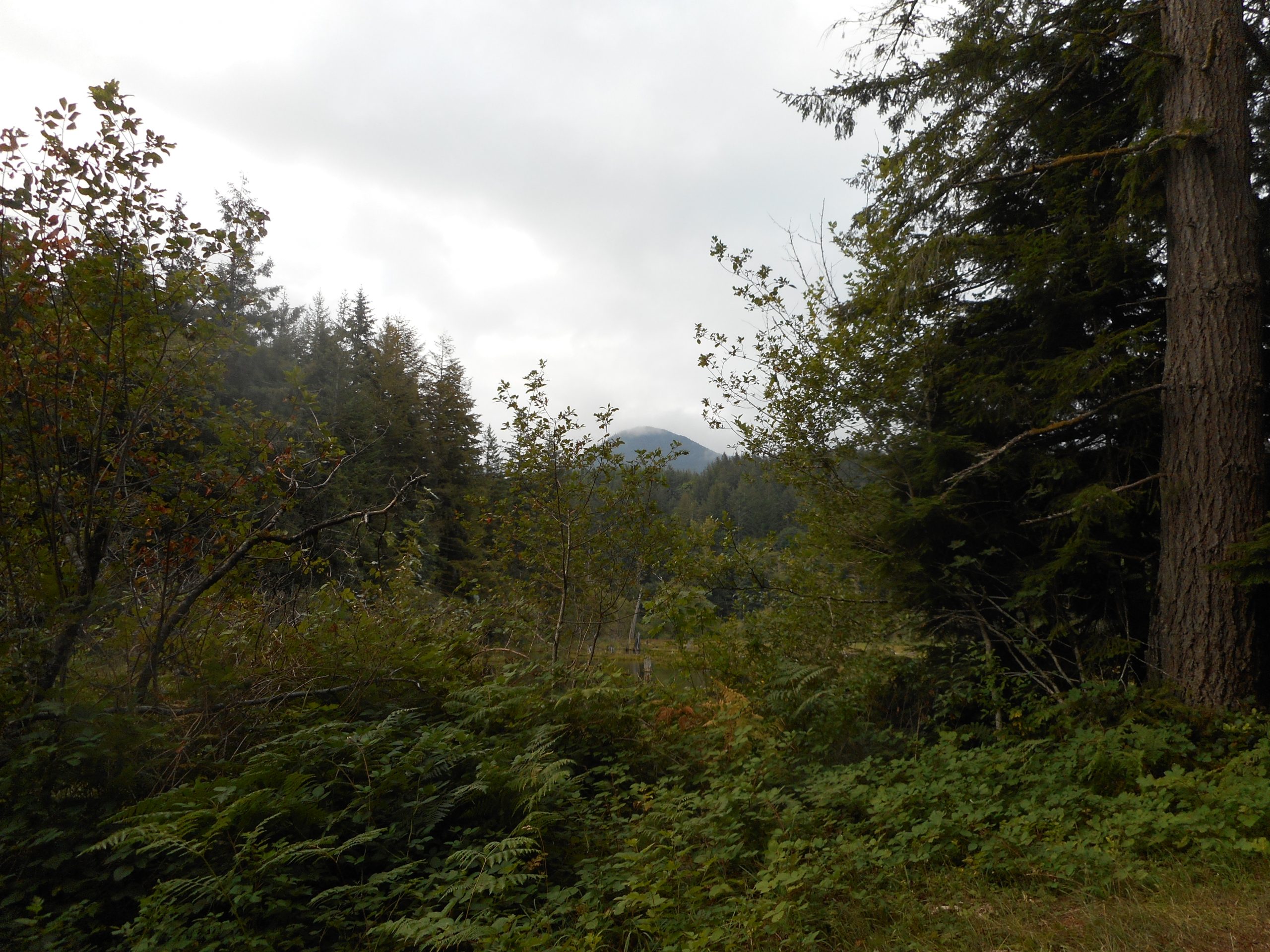
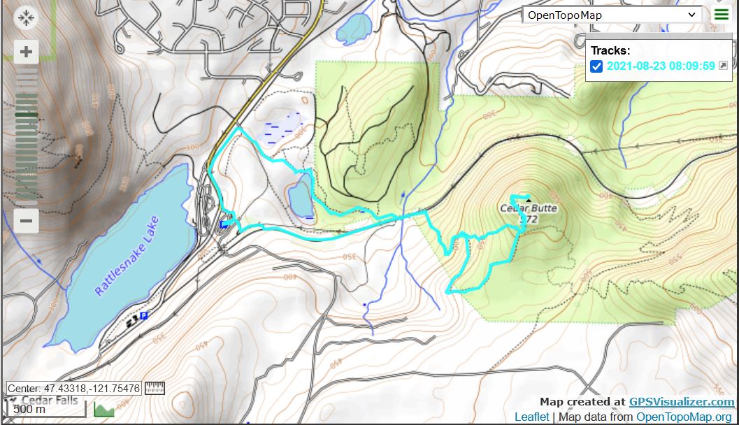
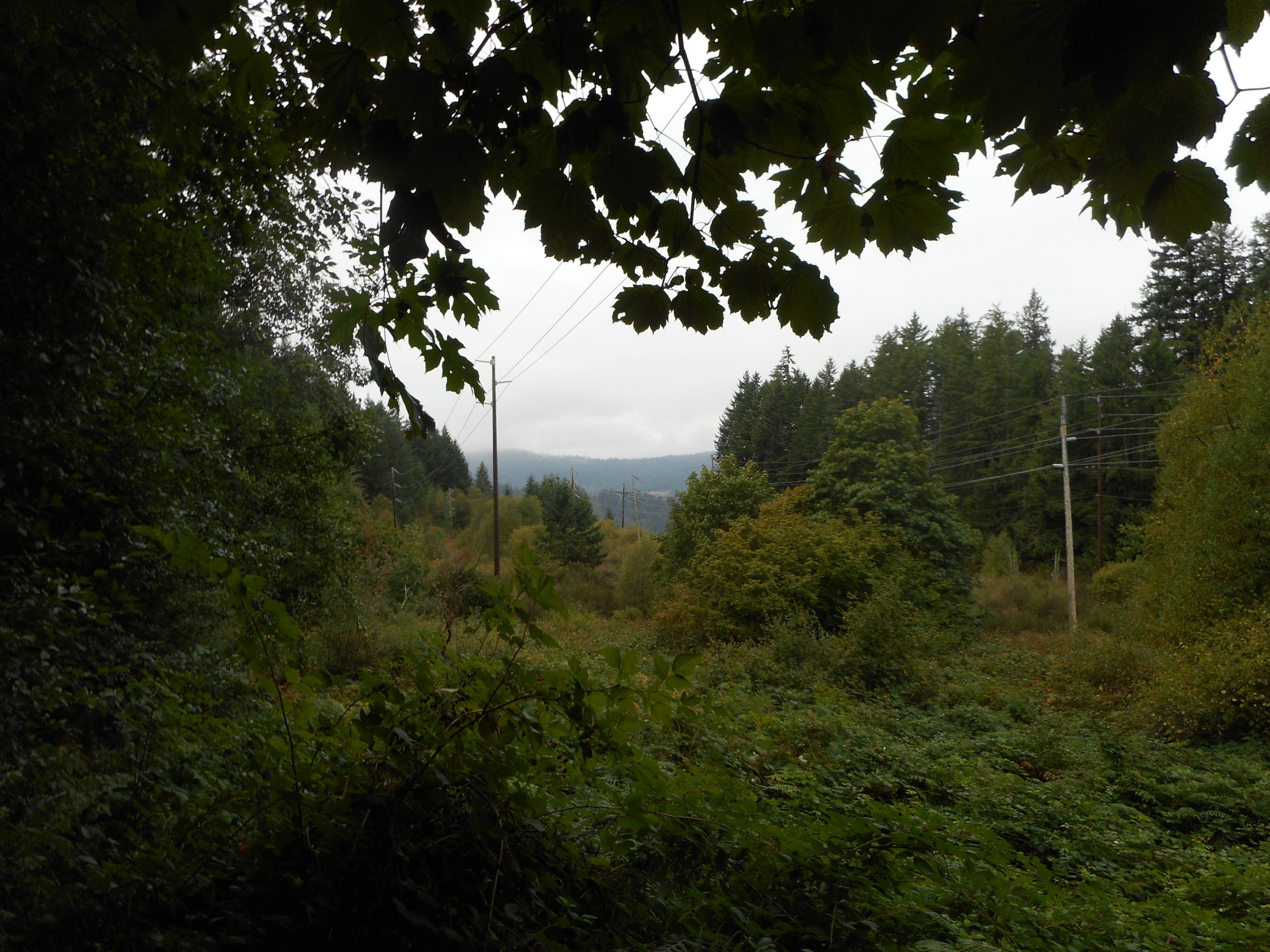
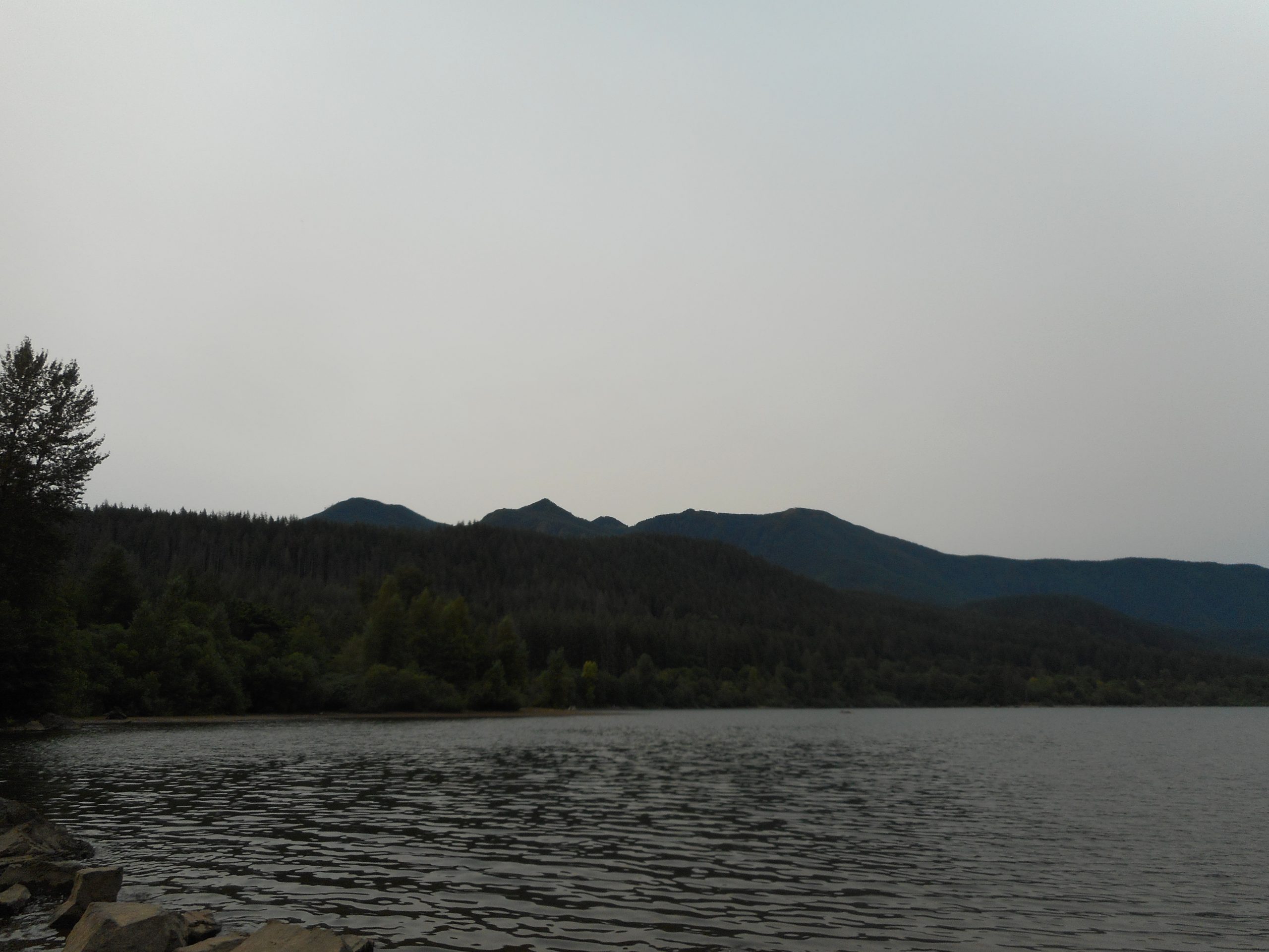
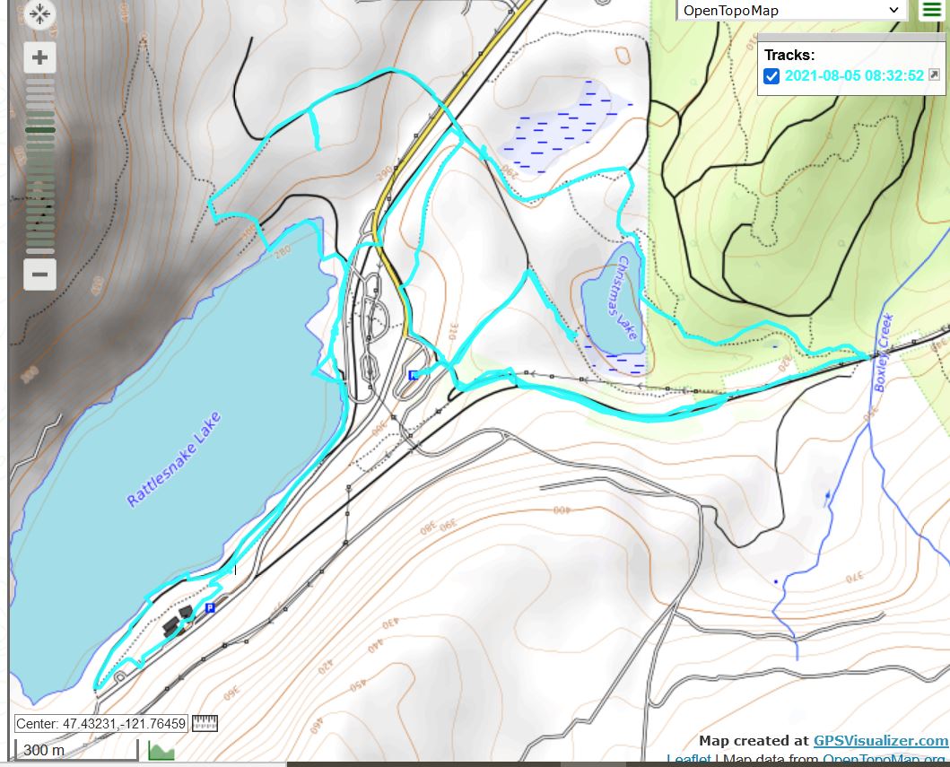
No biggie today, only about 4.5 miles, maybe 1K elevation gain. A fun walk to the top of Cedar Butte and then back via Christmas Lake. I was in the forest, getting a (more or less) decent workout, it is all good. Not sure what I will do on Wednesday but it will be more challenging than this one.
I might go back to Squak/SE Peak because I am still steamed at myself for missing the trail to SE peak.
From a distance, Mount Washington beckons, although I will probably not do that one until next week and when I do, I will take the long way (14+ miles) via Olallie Trail. A super workout and it avoids most of the miserable rocky Mt. Washington trail.
No big deal today but a nice conditioning hike. I did my usual Section Line to Talus Rocks to Tiger 3 etc. One nice note for me is that I have dropped my time from car to top of Section Line from about 80 minutes last year to 63 minutes today. It is about 2.2 miles, with about 1.3 miles of that fairly steep. A good workout.
Round Lake is almost gone right now:
Round “Lake”
The Bus Trail tends to be pretty peaceful and flat and a nice stroll:
Nice conditioning hike, just under 8 miles, about 2K elevation gain. I love the forest above Stan’s Overlook (1.9 miles from trail head). Of course, you get to traverse it twice, on the way up and on the way down.
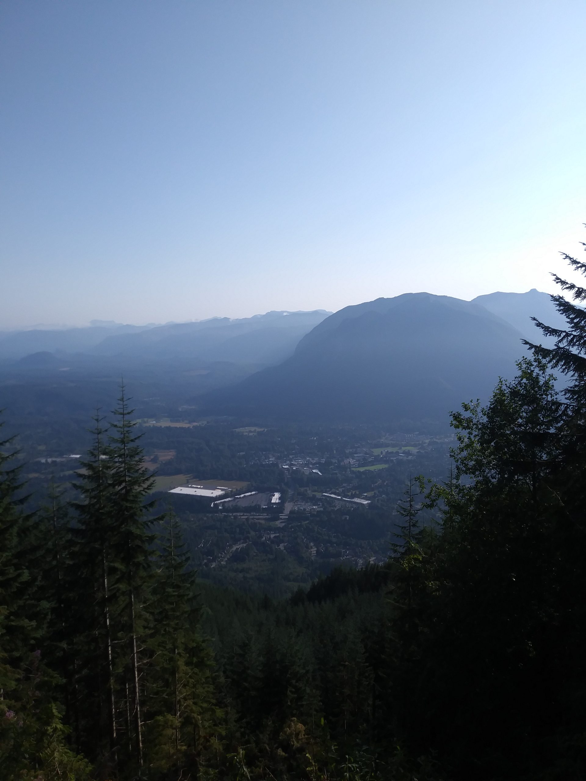
Unfortunately, something is happening on Rattlesnake Mountain. I had a hard time on the usually quiet road I use as a little detour from the trail. Views north, change of pace. But today, truck after truck went barrelling by, and I could hear rumblings for much of the hike. I hope they are not logging again.
I stayed away from the eastern hikes because of the smoke. My plan was to hike up to Squak Mountain’s Southeast Peak but somehow I missed the little side trail that leads to the peak. I missed it twice, once going up and once going down. Now I am motivated to get back on this trail to make sure I don’t miss it again.
Not much else to say. This is not a very photogenic hike, particularly since I left the car at just after 5 am, in the dark. I did not turn the headlamp off until about 6:10. I still soaked the headlamp’s band with sweat. I was walking at a nice pace. The trail is steep but not ultra-steep; it is a good workout.
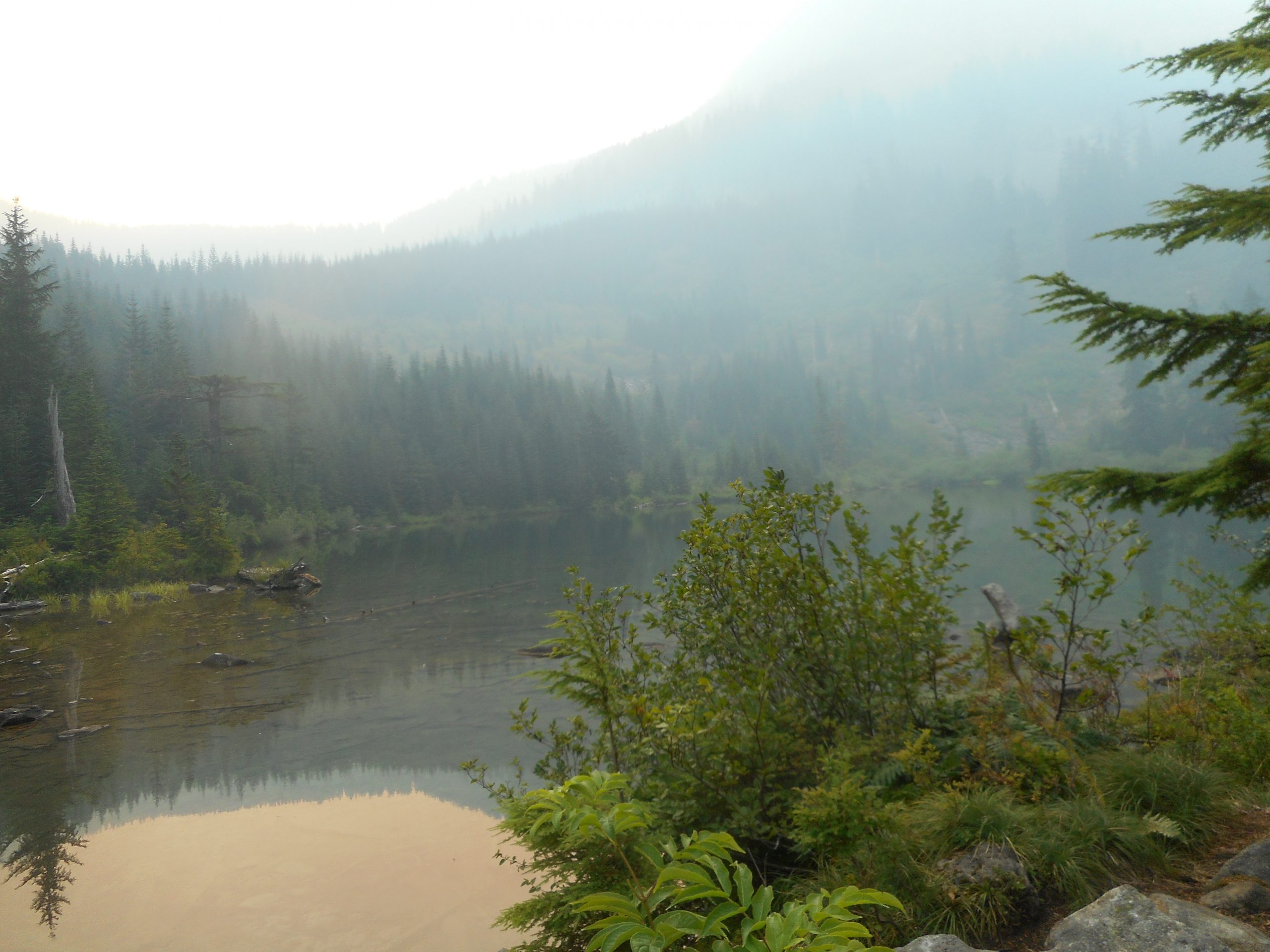
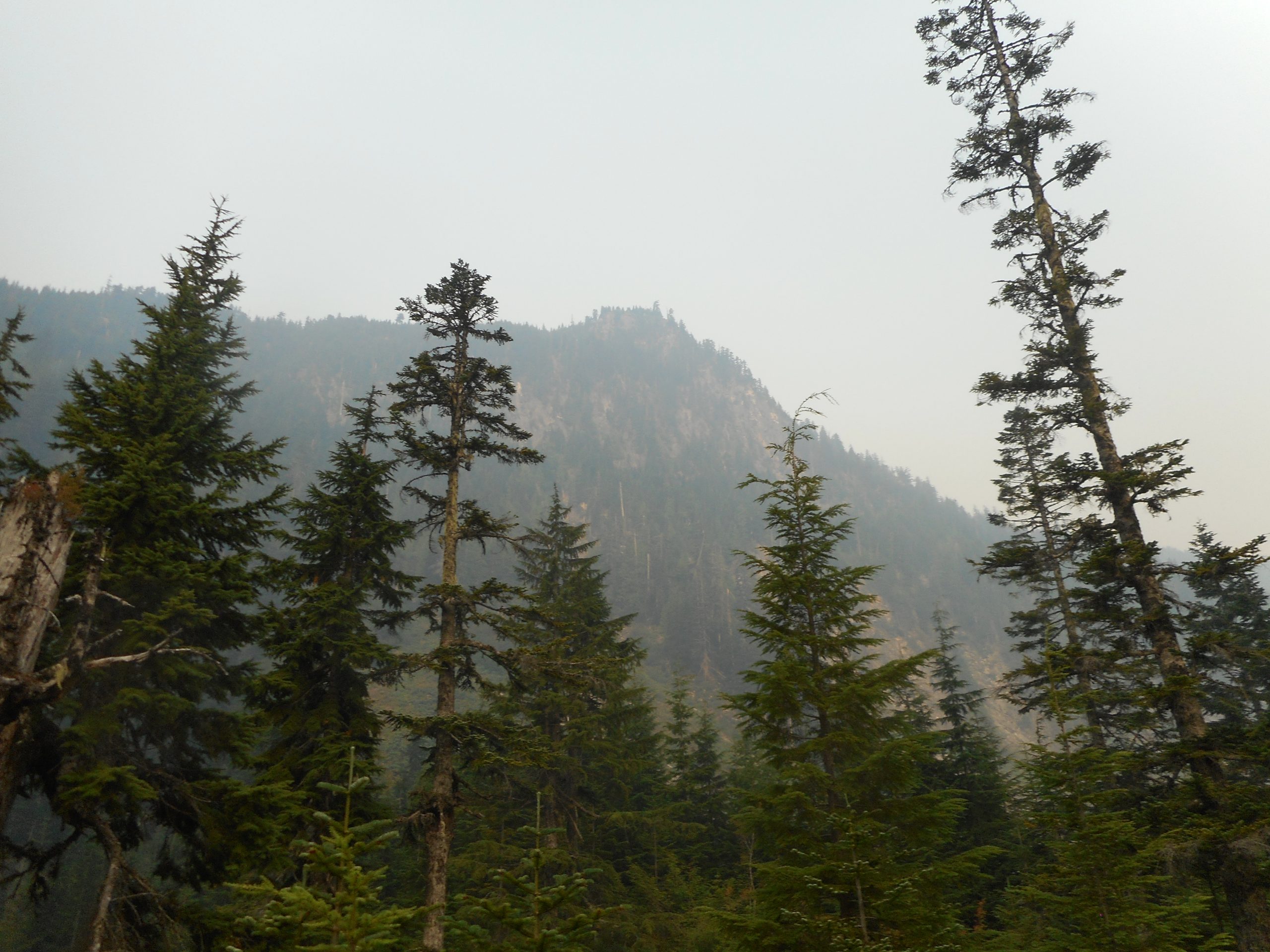
I hiked to Granite Lakes today – phew! The wildfire smoke is thick. My eyes were burning as I got near the lake. I am sure I inhaled some bad stuff. This is our new normal, not just in the PNW but around the world. Consider the tragic fires in and around Greece recently.
Anyway, this hike is nice but not the most strenuous. The first 1.1 mile is reasonably steep. After that, for the next 3 miles (round trip is about 8.2 miles) there is a steady elevation gain but it isn’t very steep. A nice uphill walk.
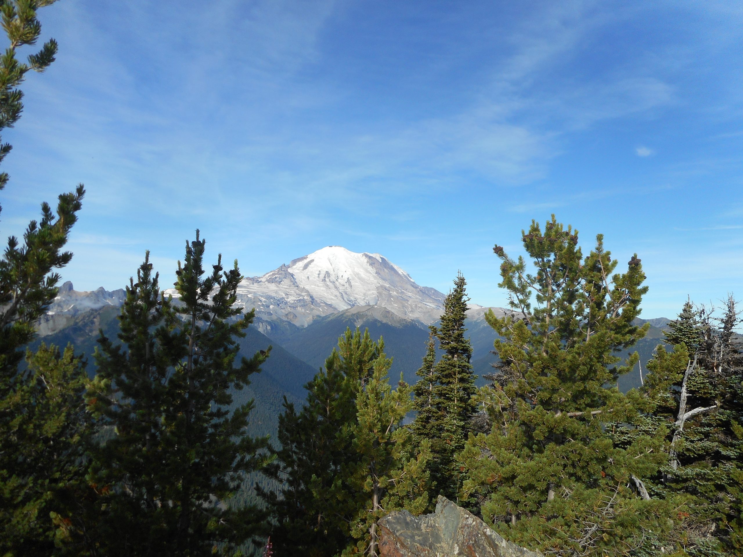
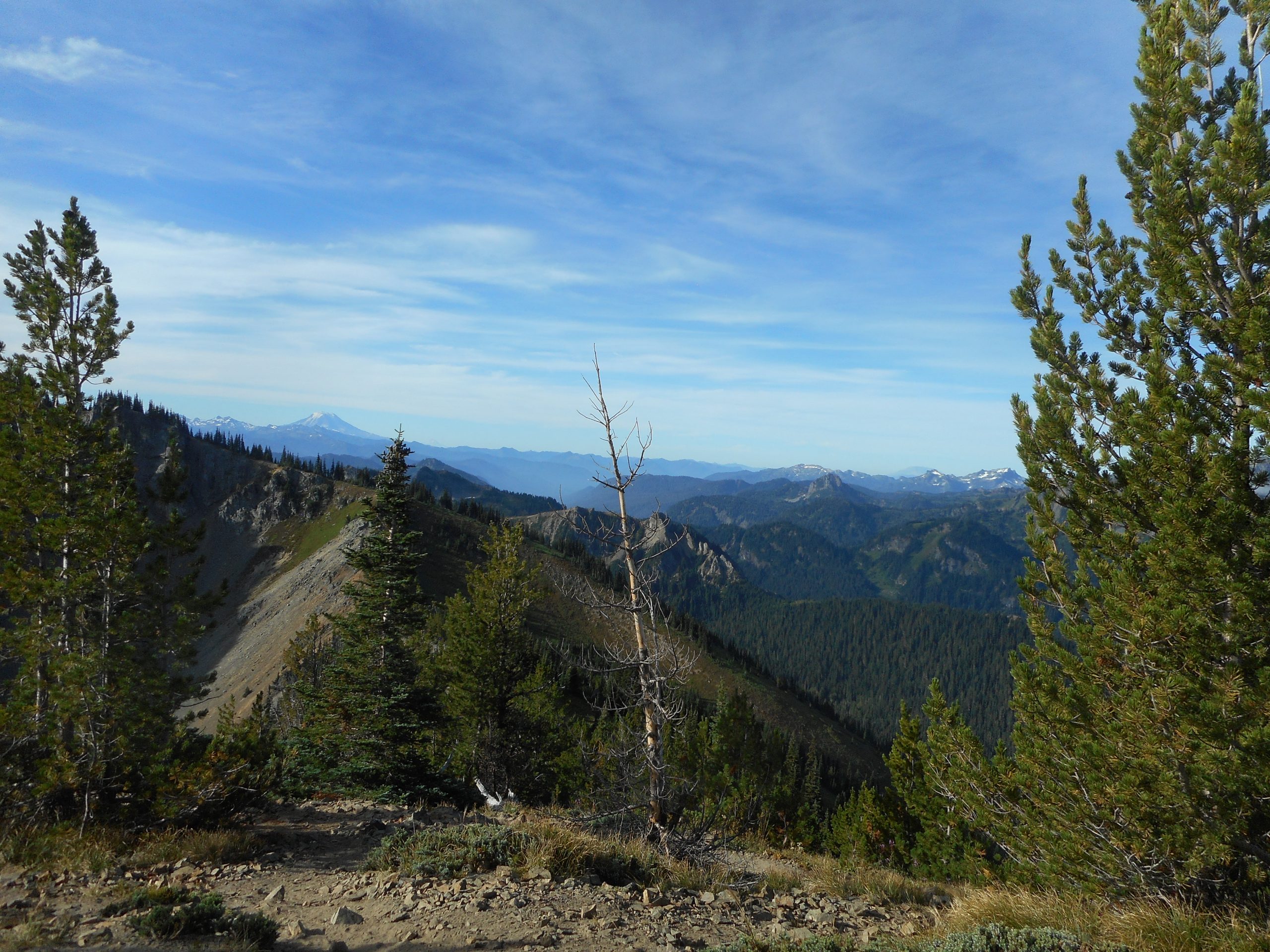
Back on July 5 when I first did this hike I was so impressed I vowed to return. And today I did and I am glad. Another perfect day and, as a bonus, thanks to yesterday’s rain the smoke was gone (for now).
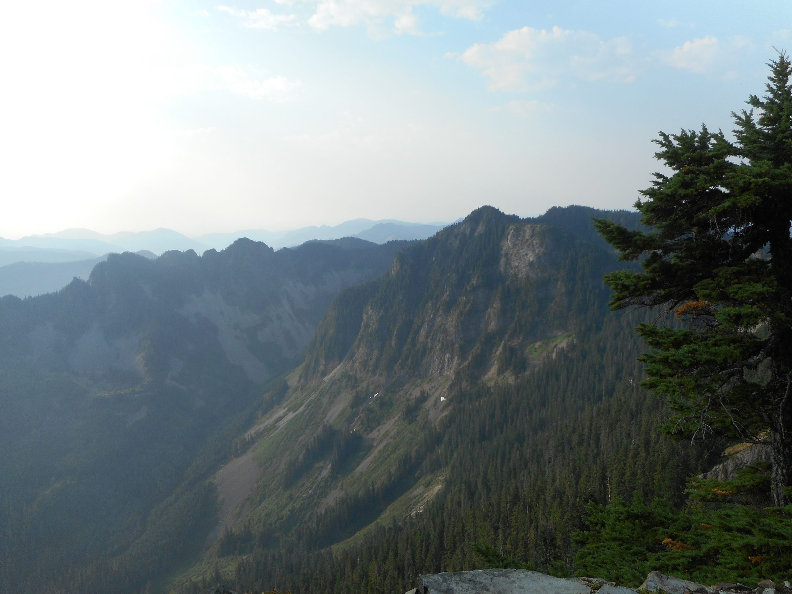
This hike really has it all and if it wasn’t so darned far away, about a 2 hour drive, I would do it way more often. It is just under 8 miles round-trip. 3,100 feet of elevation gain. Except for the summit block, which is just as steep as summit blocks usually are, it is a fairly even grade the entire way. It works out to just under a 15 degree grade, which is steep enough to be a good workout but not so tough it wears you out.
The views at the top are awesome, the meadow below the summit is beautiful and the trail itself is very good pretty much the entire way. It is not obnoxiously rocky like Mount Washington or Granite Mountain.
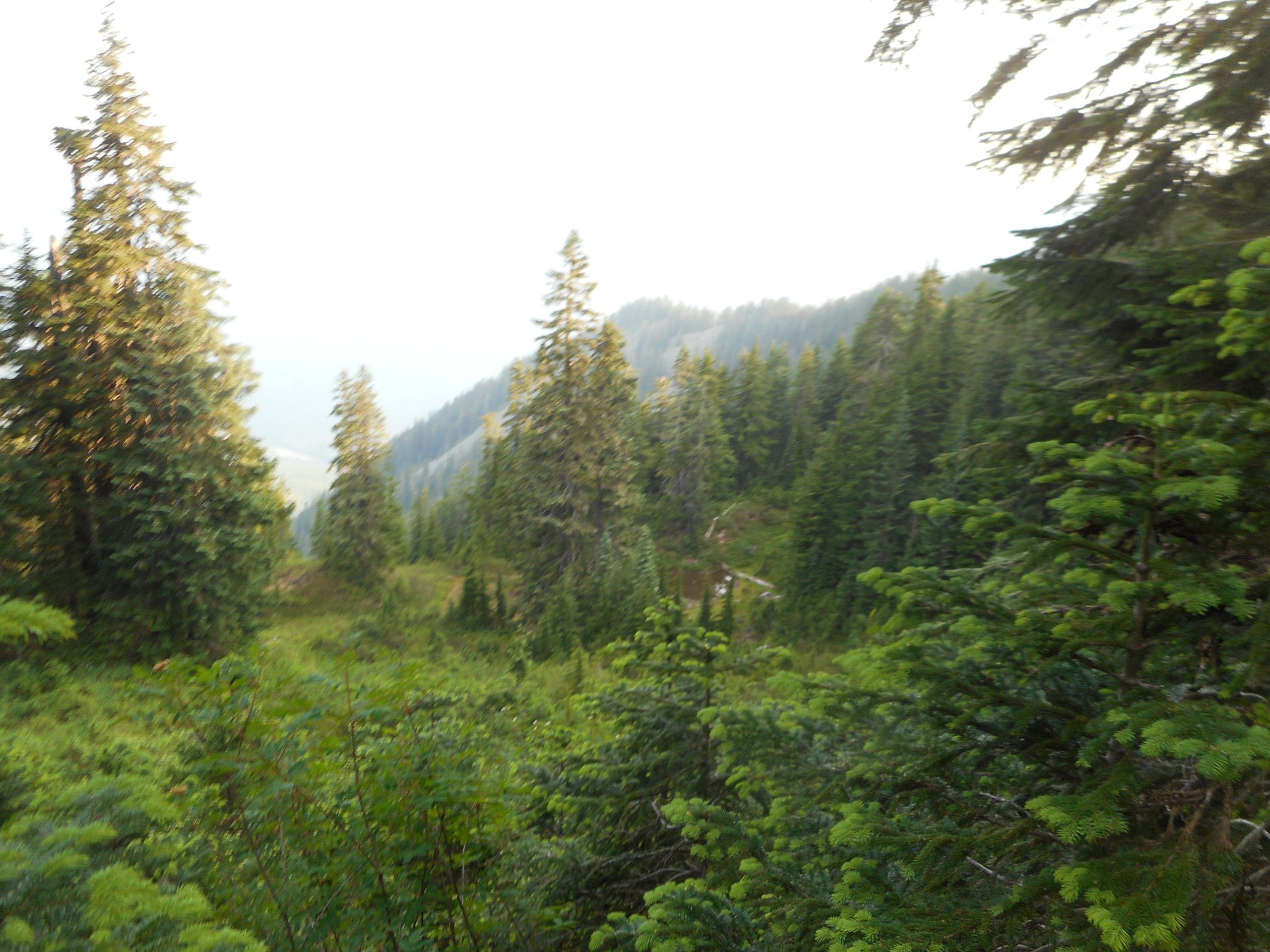
A Rare Flat Section of Trail
Anyway, a beautiful way to spend your morning. I made it to the top in about 2 hours and ten minutes and just under two hours down, with 15 glorious minutes drinking in the view at the top.
Sweet!
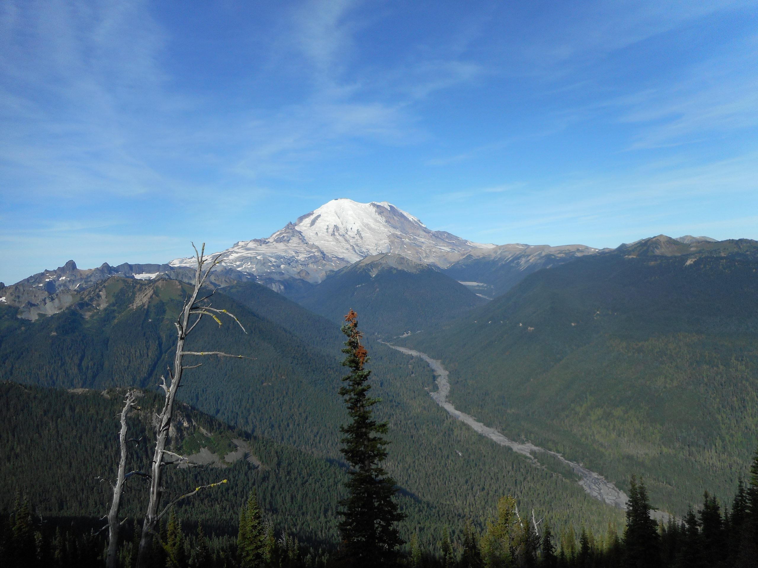
Howdy NeighborRainier and White River
In the photo right above, note how far down the river is – that’s the level where you park.
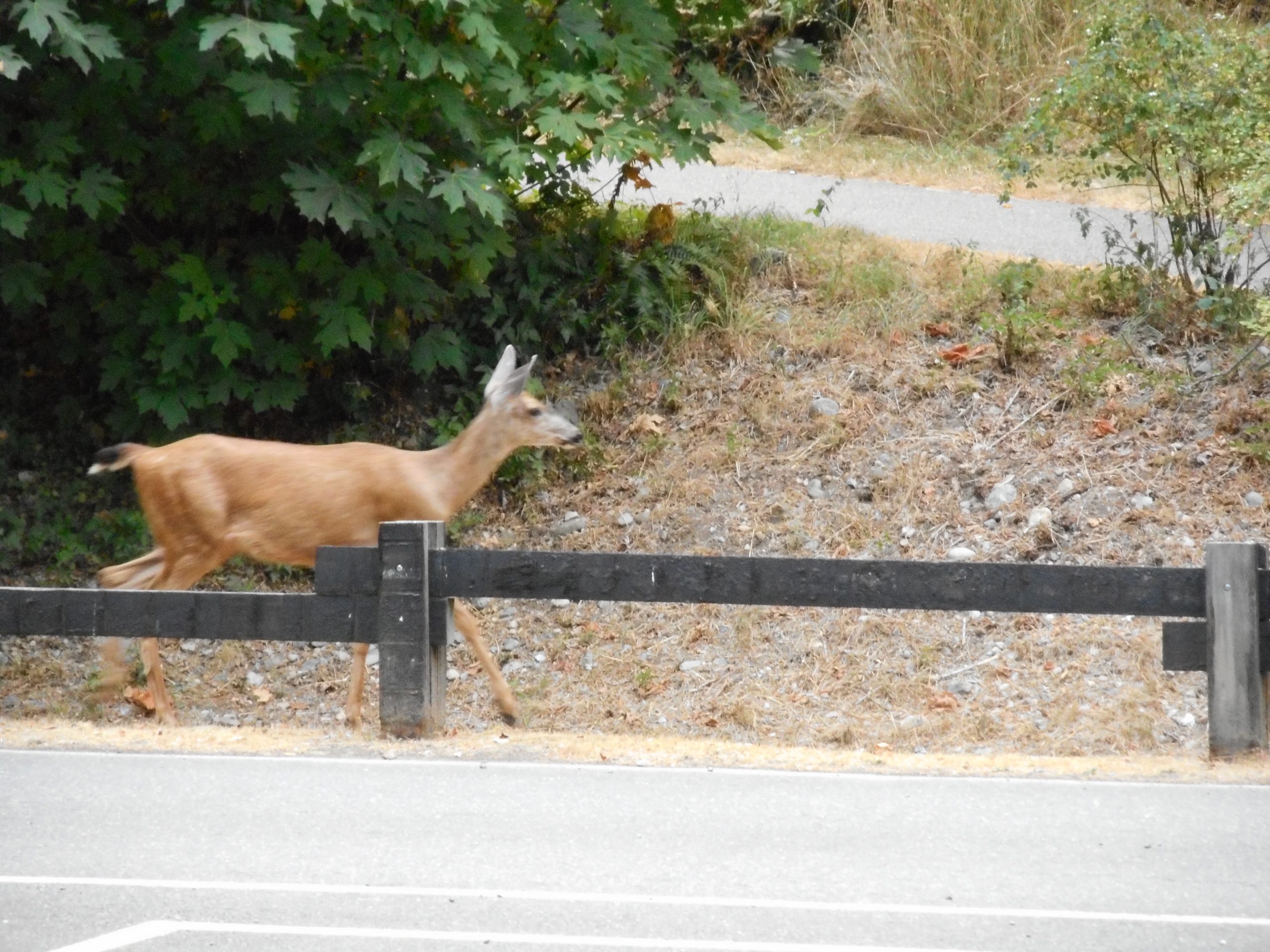
I had a fun hike today, did just under 8 miles, but not much elevation gain. I have been trying to do one hike a week just for fun and today was that. I got semi-lost a couple of times, bushwhacked a bit, and saw a deer with her two fawns hanging out. I snapped a few pics of the deer but only one came out. I need to upgrade my camera and my camera skills.
I wandered to and fro, going wherever the mood struck. At one point I was on the Rattlesnake Mountain trail for a short way, I went around the NE end of the lake and I wandered up and past the Education Center which, according to the sign, is now open but only for 17 hours spread out between Thursday, Friday, and Saturday. Progress, I guess.
I will probably get out again on Sunday, based on the weather report, which shows some much needed rain on Saturday. I hope some of the wild fires get tamped down a bit. We are really hurting once again. This is the new normal, I am afraid.
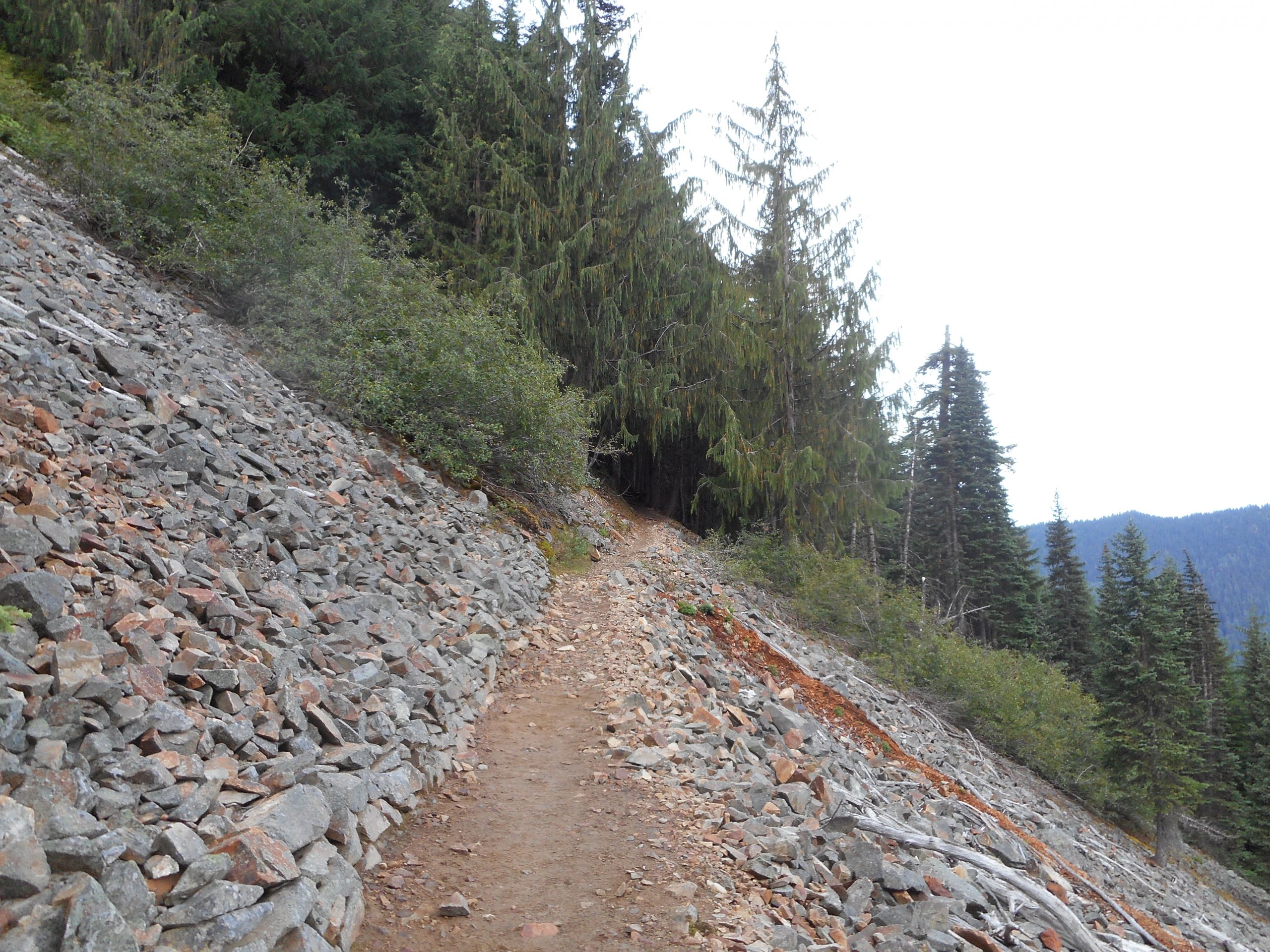
I did McClellan Butte today, starting from the service road (a rough ride and dusty; I had to wash my car when I got home). I got an early start, leaving the car at 5:30am but I was soon passed by a trail runner and two young hikers who were power-walking up the trail. Me, I am an old guy and I trudge. This trail is steep.
And I got an adrenaline jolt on the way down, when I saw two bear cubs just off the trail scrambling up trees to get away from the clueless human. I am happy to say that mama bear did not show her claws. I did take out the bear spray and, if I do say so, made excellent time the rest of the way down.
One large disappointment: based on the very smoky skies I cancelled my Thursday/Friday camping trip. The air where I was, about 43 miles east of Seattle, was a little harsh. I could see that where I had planned to go, 40-plus miles farther east, was way worse. Global warming is not coming; it is here.
Last week I had lunch with a Boeing friend, another retired old man. He has a distinguished history as a hiker and backpacker and he brought along several hiking guides from the early 1980’s. I checked out the entry for McClellan Butte and noticed that the trail has changed. Back then, the start of the trail was routed differently, and the trail on the west side of the mountain dipped down towards a little tarn and then back up. I have been down to that tarn but I did not know that the decrepit trail there used to be the main trail. And, based upon the old description, I could see the remnants of the old trail not only going down, but going past the tarn and back up. Very cool. The tarn from above:
Tarn
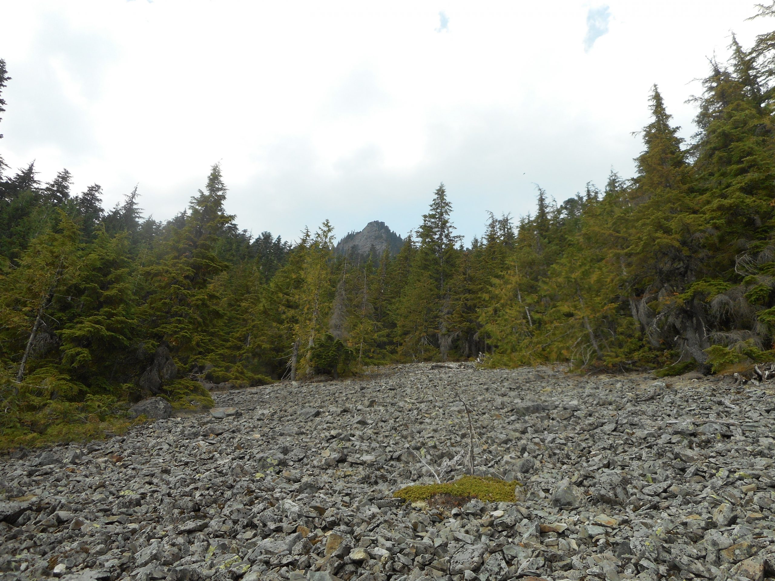
Not long after you get on the trail from the service road there is a talus field and you can look up and see the goal:
The Summit Block from Below
If that seems like a long and steep way, it is. The view in this photo is the east side of the summit. The actual approach is from the west. There is an exposed scramble to the very top but I skip that because a slip leads to certain death.